


Tibet Wildlife Photography Tour: Lhasa to Golmud (10 Days)
- Duration
- 10 days
- Pace
- Moderate
- Group size
- Private, on your dates
- Best season
- Mid-May to June for antelope; July to September for wild yak and green plateau
The trip at a glance
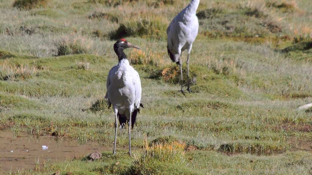
A private 10-day road journey for photographers: from Lhasa north along the Qinghai–Tibet highway to Golmud, with a guide and vehicle that stop whenever the animals or the light ask. You look for wild yak, Tibetan antelope (chiru), kiang and Tibetan gazelle on the open plateau, and you finish in Qinghai.
- Lhasa
 Nagqu
- Peng Tso
- Bamu Tso
 Baingoin
- Amdo
- Tanggula Pass
- Tuotuohe
- Wudaoliang
- Budongquan
- Kunlun Pass
- Golmud
What is different about this tour
Most Tibet routes go south and west. This one goes north, along the G109 highway over Nagqu, Amdo and Tanggula Pass (5,231 m), the border between Tibet and Qinghai. It is a one-way route: you do not come back on the same road, and our guide and driver drive back to Lhasa without you. The price already includes that return.
If you would rather make a shorter loop that starts and ends in Lhasa, with Siling Co lake and Shigatse on the way back, see our 9-day Tibet wildlife tour — Into the Changtang. The two routes are similar in spirit, but they go to different places.
The days are planned for photography: early starts for the best light, long stops at the roadside, and no rush to reach a hotel. Wildlife is wild, so we do not promise any animal. What we promise is time, a guide who knows where the animals are usually seen, and a driver who stops.
Rules we keep on this route
We watch and photograph from the highway only. The core zone of Hoh Xil (Kekexili) nature reserve is closed to visitors, and we do not apply for any permit to enter it. We do not drive off the road, we do not walk toward animals, and we do not fly drones.
When to go
Mid-May to June: the female Tibetan antelope walk north to give birth, and the biggest movements near the highway are usually in early June. This is the shoulder season, and our “from” price is for these dates.
July to September: the highest season. The grass is green, the wild yak are in their mating season, and the antelope come back south in July and August. In September the large antelope groups are gone, but the air is clear and the plateau colours are strong. Prices for these months are higher and are sent by email.
Wildlife you may see
Sightings are not guaranteed. The best chances are on Days 6 to 9, from Amdo northward.
Wildlife you may meet on this road
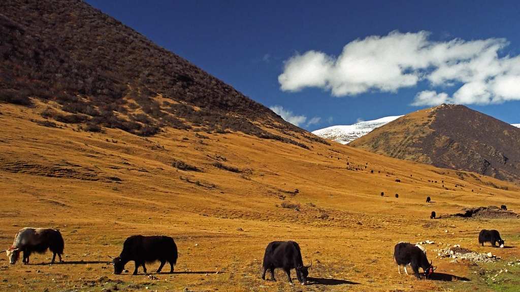
Wild Yak
Bos mutus
Seen more often far north around Amdo and Budongquan than near villages · Dark, heavy and shy · Best in the early morning
Tibetan Antelope (Chiru)
Pantholops hodgsonii
Wudaoliang and Budongquan area · Females walk north in May and June · Near Threatened (IUCN)
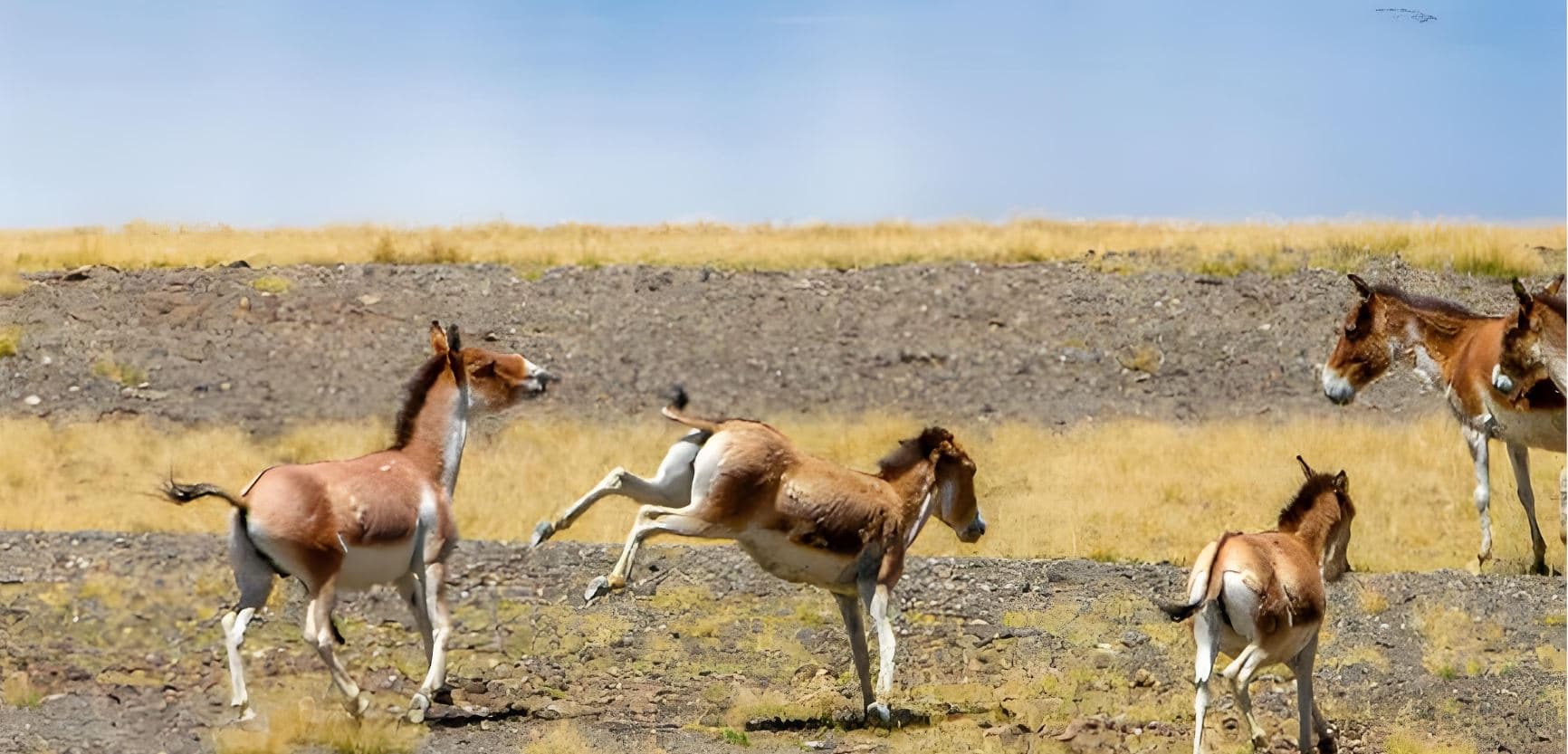
Tibetan Wild Ass (Kiang)
Equus kiang
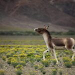
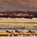
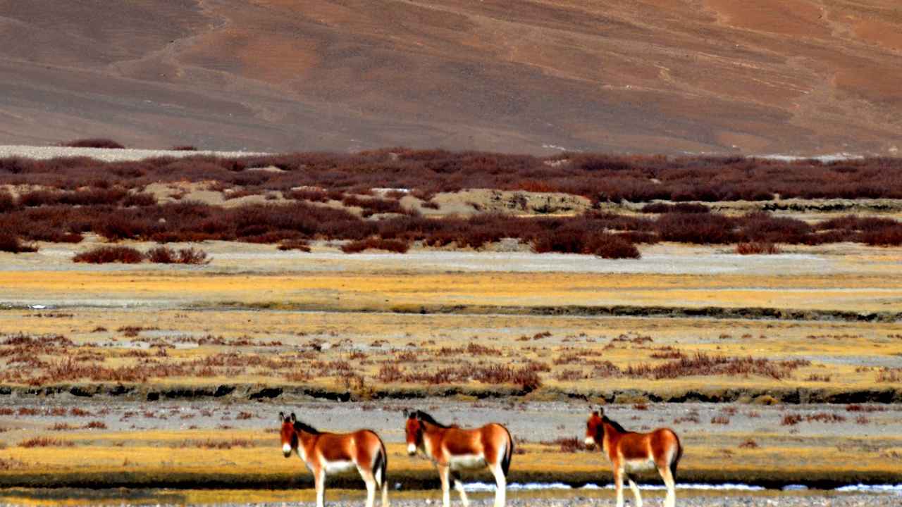
Seen from Nagqu northward · Groups of a few to a few dozen
Tibetan Gazelle
Procapra picticaudata
Open grassland and lake shores · Fast and alert, often in small family groups
Birds of the lakes
Peng Tso and Bamu Tso · Bar-headed goose, ruddy shelduck and other water birds in summer
10 days, or longer
The 10-day plan below is our standard photography route, and the “from” price is for it. If you want more days on the highway, for example a second night at Amdo or at Baingoin, or a spare day for weather, we can add them. Because this is a private tour, longer versions are planned and priced for you, so please ask us.
The price is for two travellers on private dates, with 3-star hotels in Lhasa and Nagqu and the best local hotel in every other place. Namtso Lake is not in this route, because Peng Tso and Bamu Tso are already on it. If you want to add Namtso, it is an extra cost.
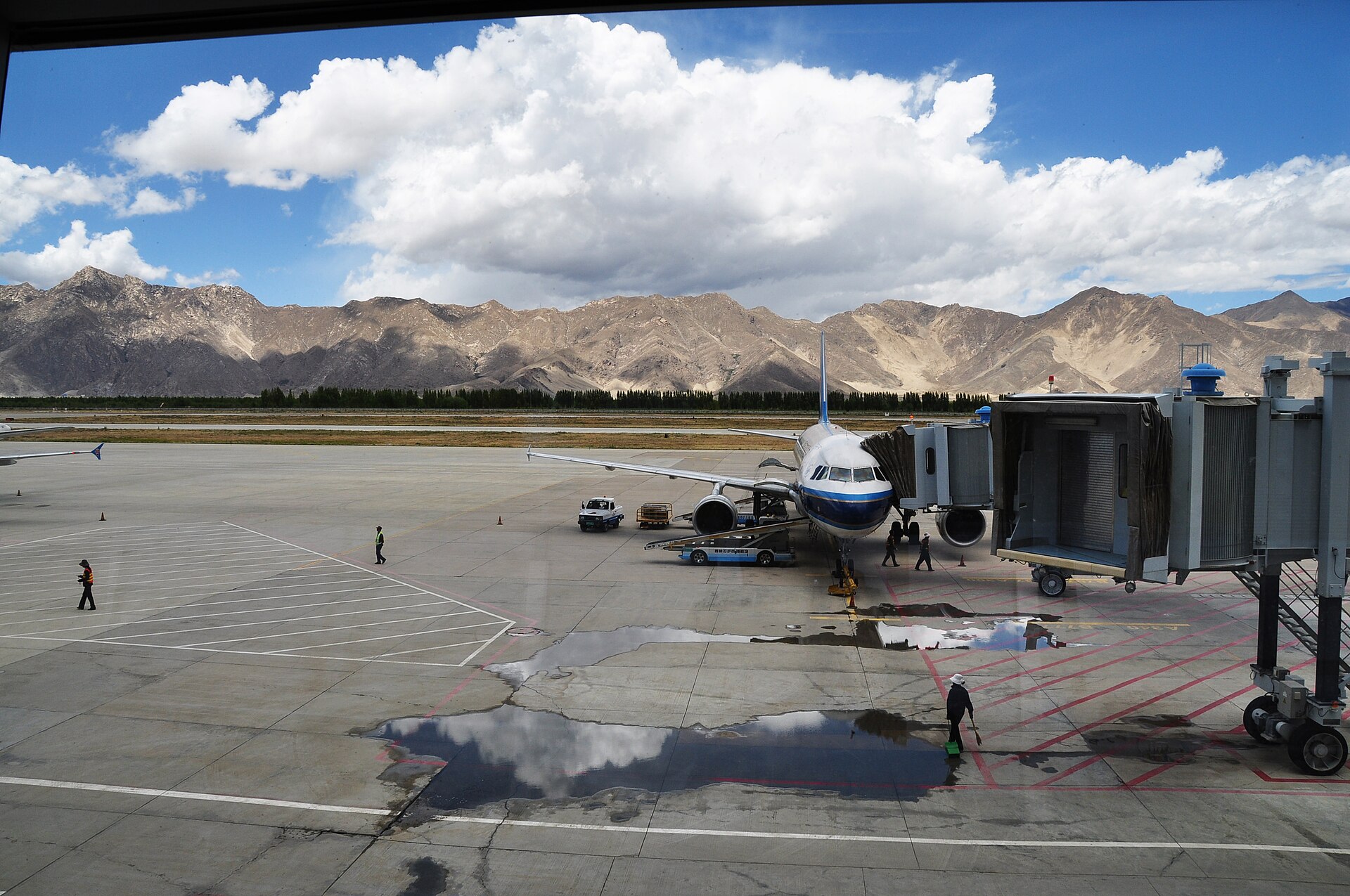
Day 1 — Arrive in Lhasa (3,650 m)
Airport or station pickup · Rest · Begin altitude adaptation
Your guide meets you and takes you to the hotel. Do nothing hard today. Walk slowly, drink water, and sleep when your body wants to.
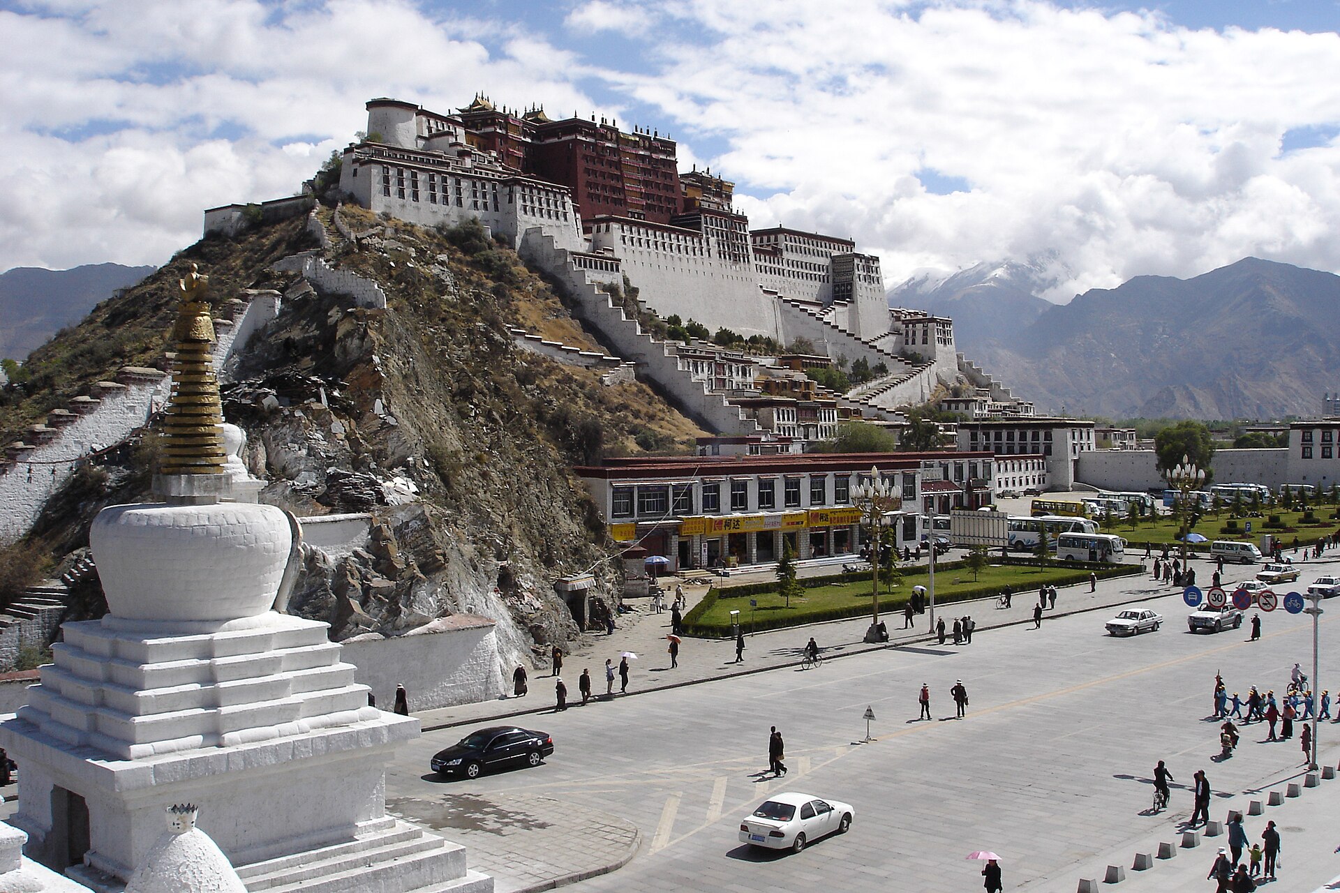
Day 2 — Lhasa: Potala Palace · Jokhang Temple
Breakfast · Core Lhasa programme
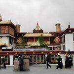
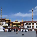
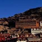
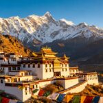
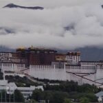
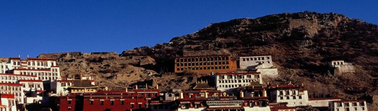
The Potala Palace and the Jokhang Temple are the two main sights of Lhasa. This day also lets you test your camera gear and your breathing at 3,650 m before the high road north.
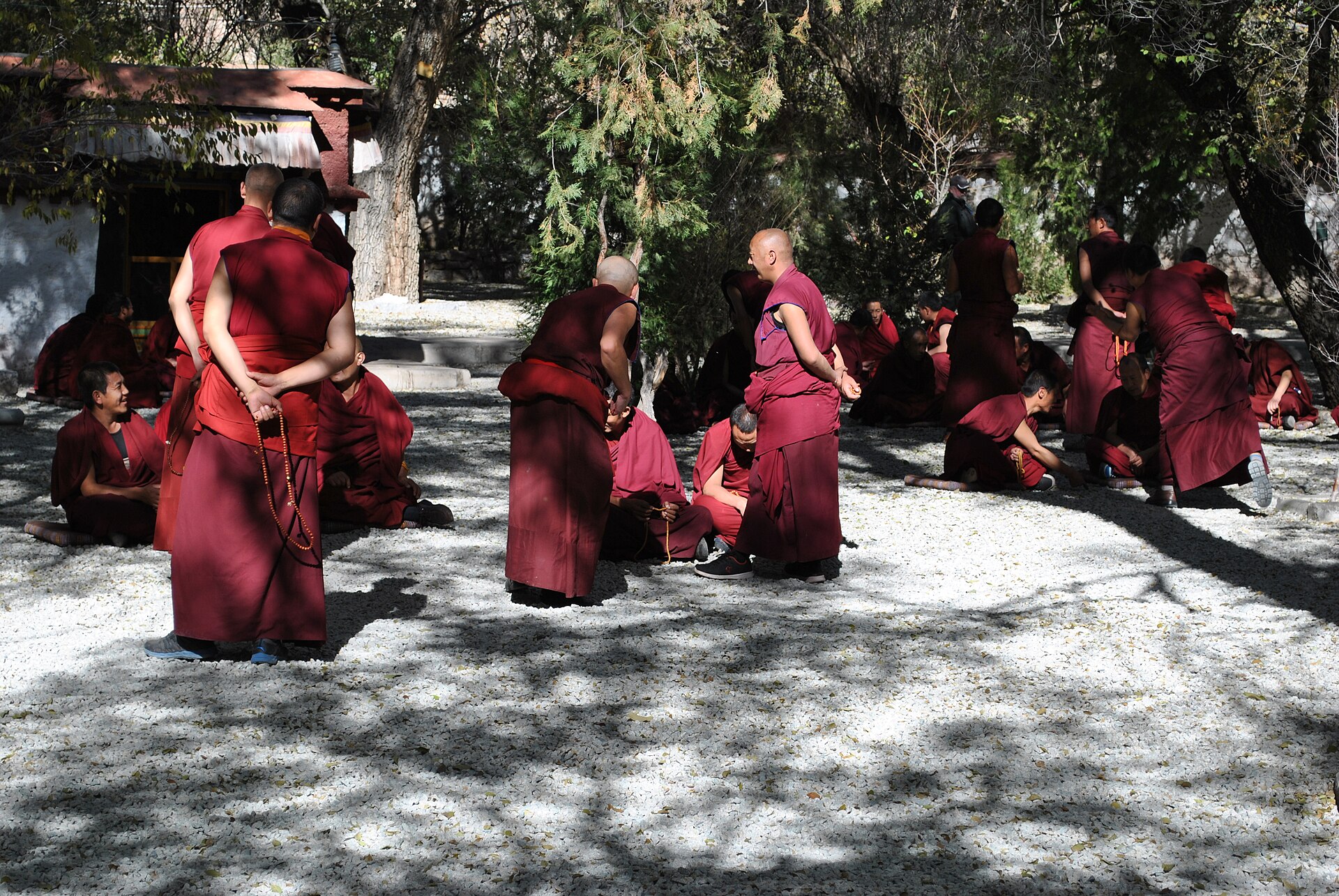
Day 3 — Lhasa: Sera Monastery · Rest
Breakfast · Second full day for altitude adaptation
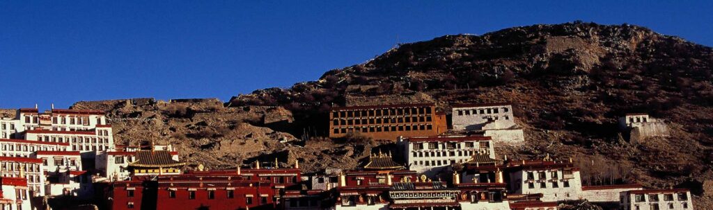
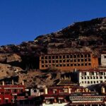
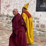
Visit Sera Monastery, where the monks debate in the afternoon, and keep the rest of the day light. Three nights in Lhasa are the best preparation for Nagqu at 4,510 m.
Day 4 — Lhasa → Nagqu (4,510 m)
The road climbs out of the Lhasa valley and crosses onto the northern plateau. From the Damxung grassland on, you are looking, not only travelling: kiang and Tibetan gazelle are possible on the approach to Nagqu. Nagqu is a working town, a good base for the next days.
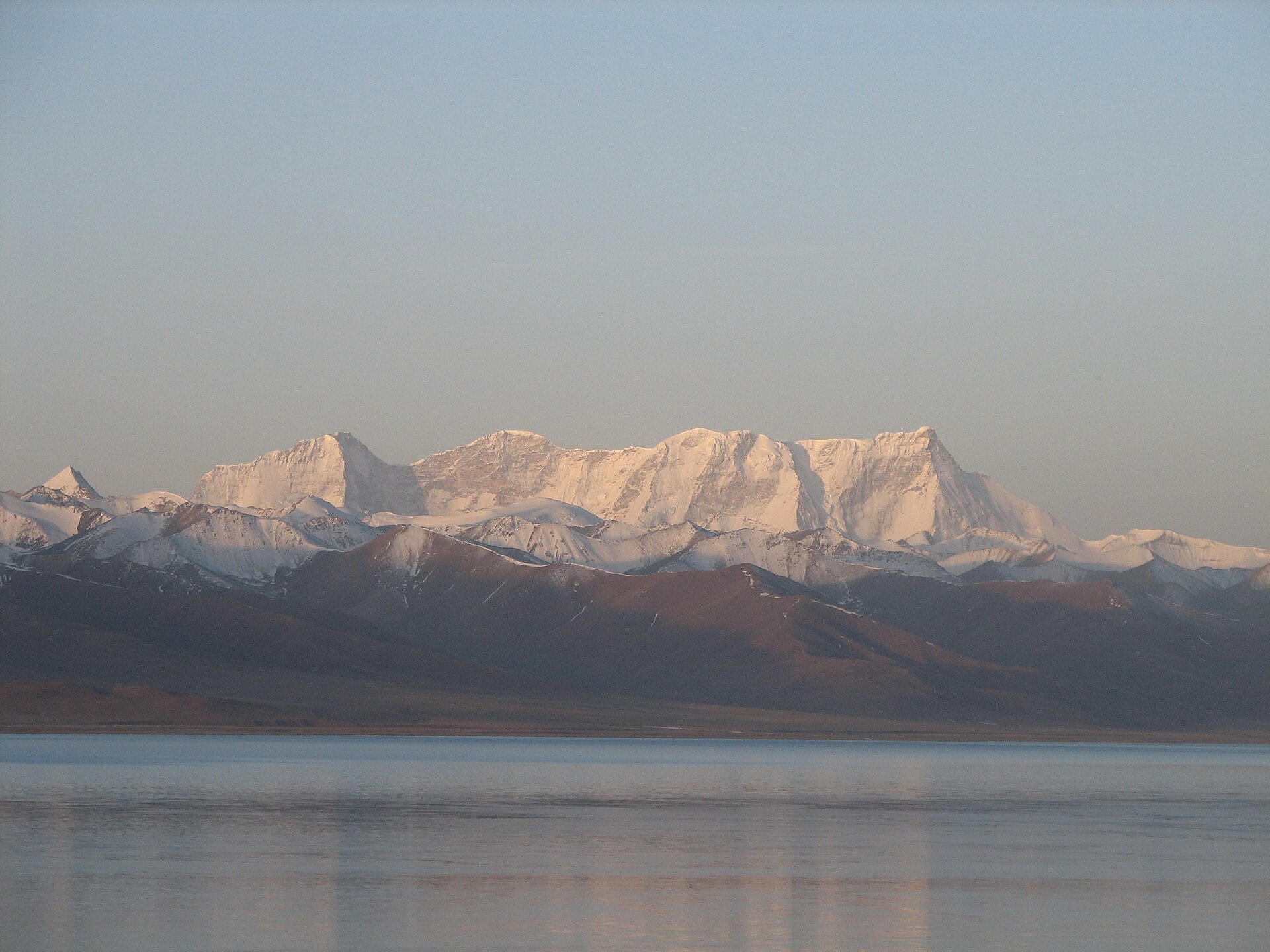
Day 5 — Nagqu → Peng Tso → Bamu Tso → Baingoin (4,700 m)
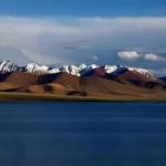
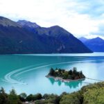
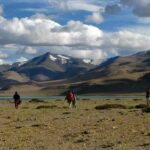
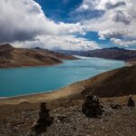
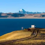
A morning start gives the best light at Peng Tso, a roadside lake where kiang are often seen in groups. Bamu Tso is a shallow wetland with reeds and water birds. Baingoin is a small county town with simple hotels, and sleeping there puts you in the grassland for tomorrow’s early light.
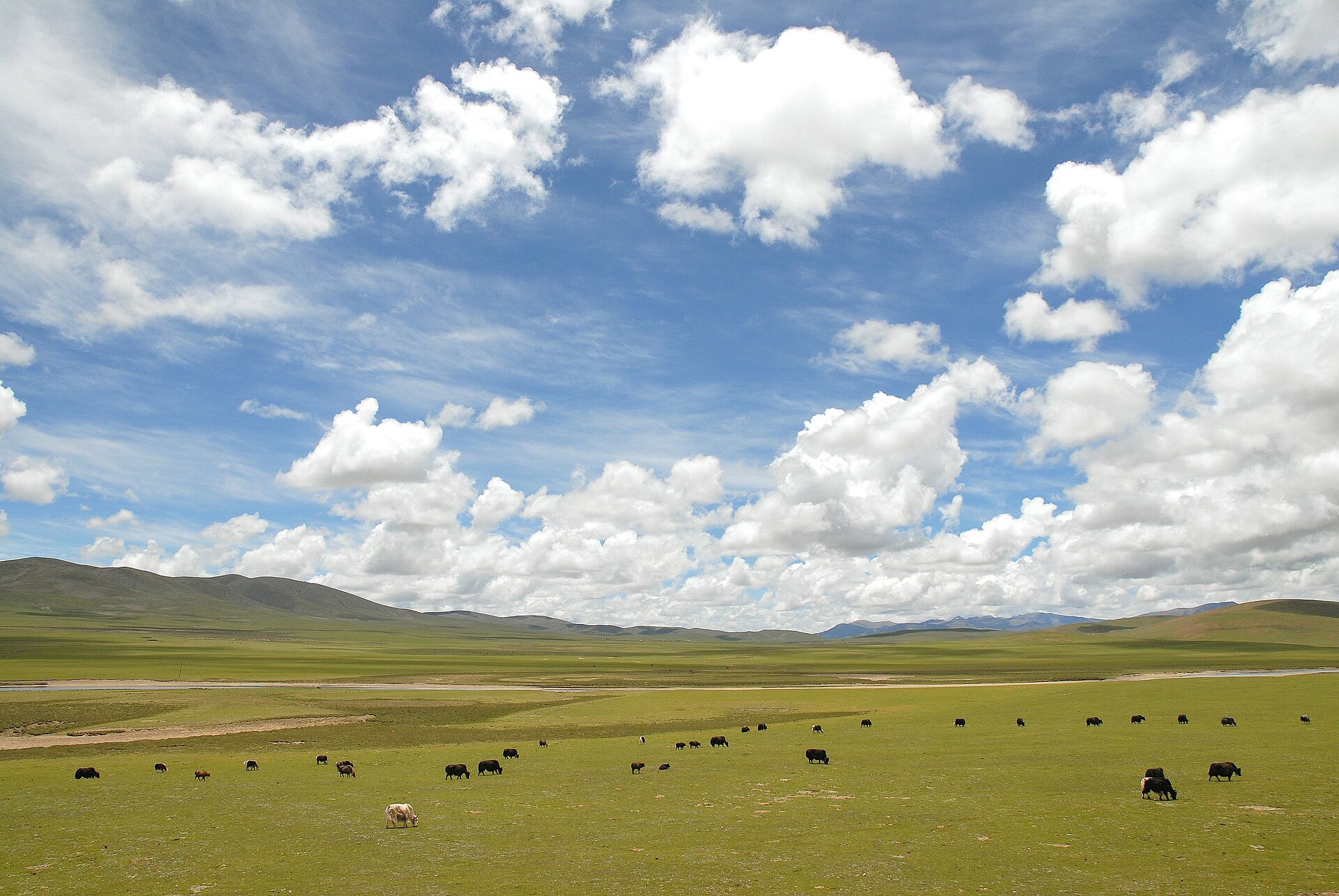
Day 6 — Baingoin → Amdo
We return toward the Qinghai–Tibet highway without going into Nagqu city, and then drive north to Amdo. This is the start of the part of the route where wild yak, chiru and kiang are seen more often than near the villages. We stop wherever the guide sees animals.
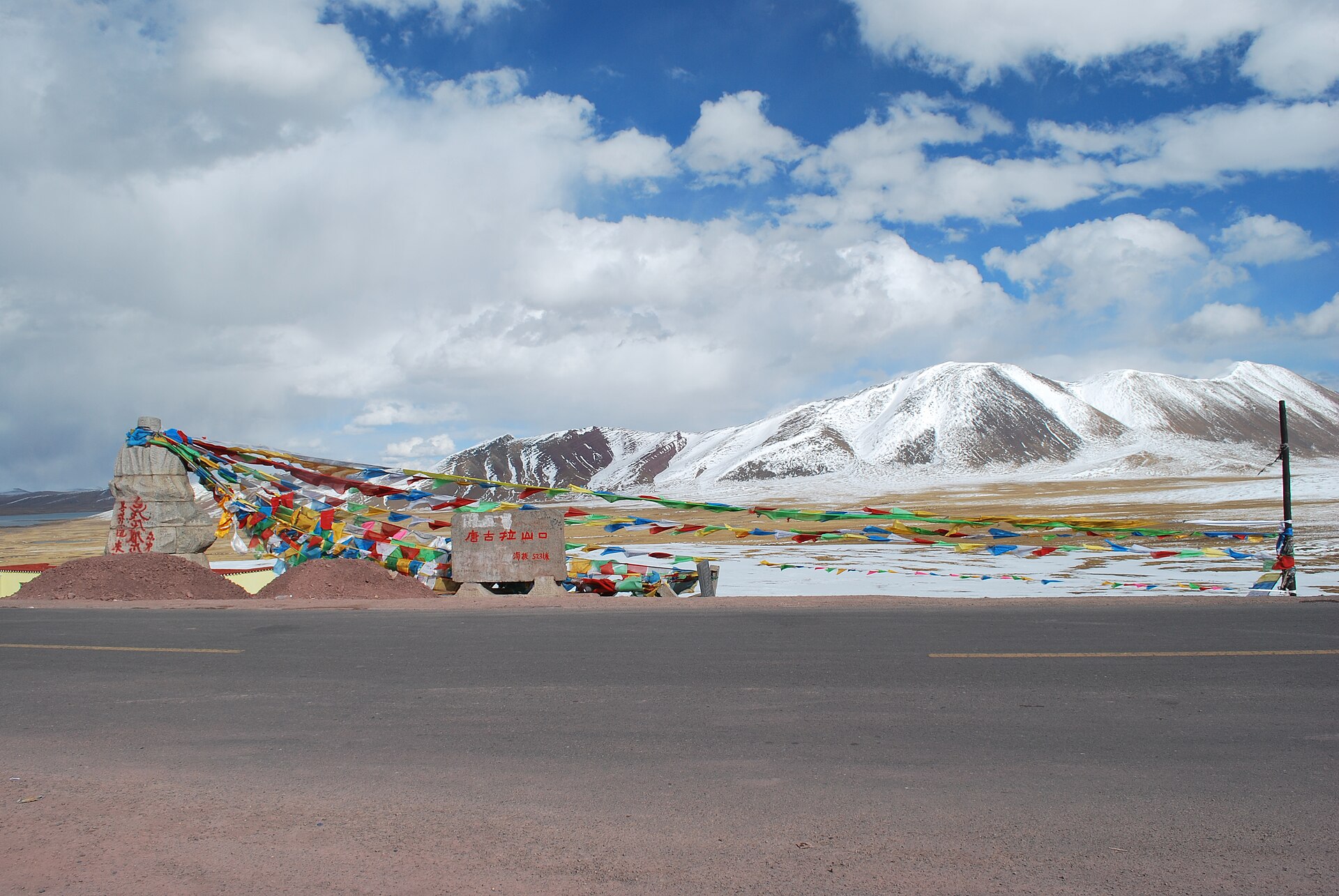
Day 7 — Amdo → Tanggula Pass (5,231 m) → Tuotuohe
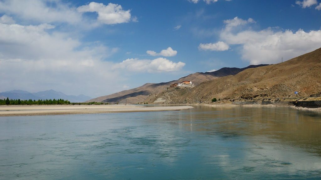
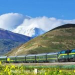
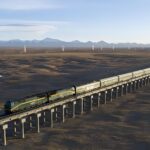
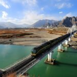
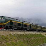
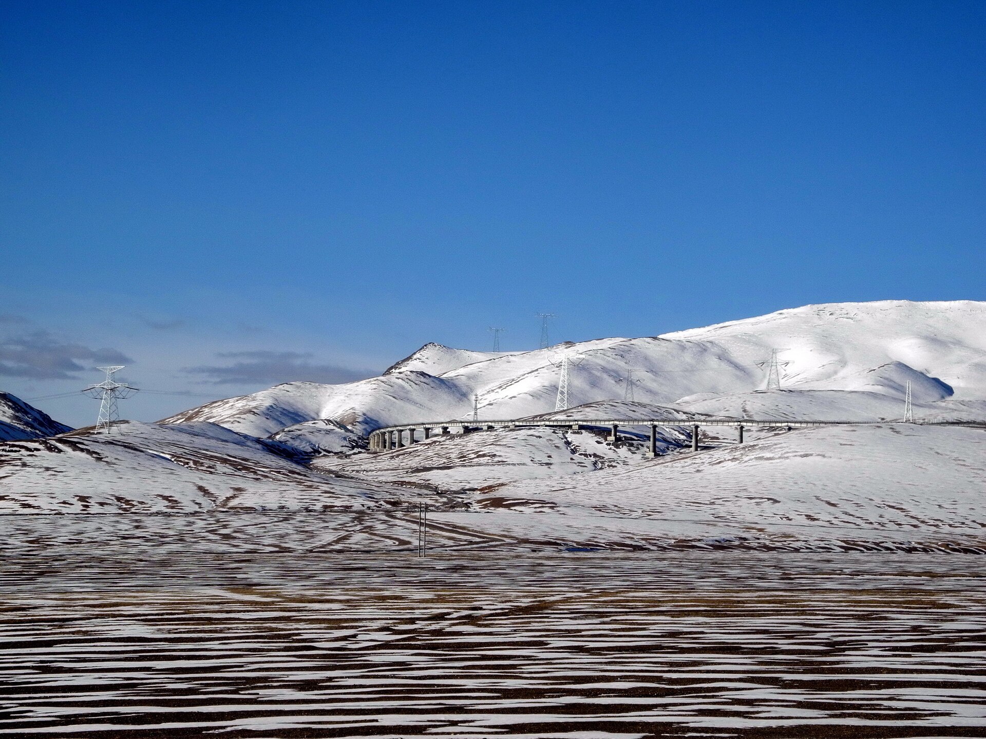
The highway crosses Tanggula Pass, the highest point of the route, and enters Qinghai near the source area of the Yangtze River. We drive slowly along the foot of the Tanggula mountains, where wild yak and blue sheep are possible on the slopes, and stop at Yanshiping and wherever the guide sees animals. The Qinghai–Tibet railway runs beside the road for long stretches. Tuotuohe is a small highway town on the Tuotuo River.
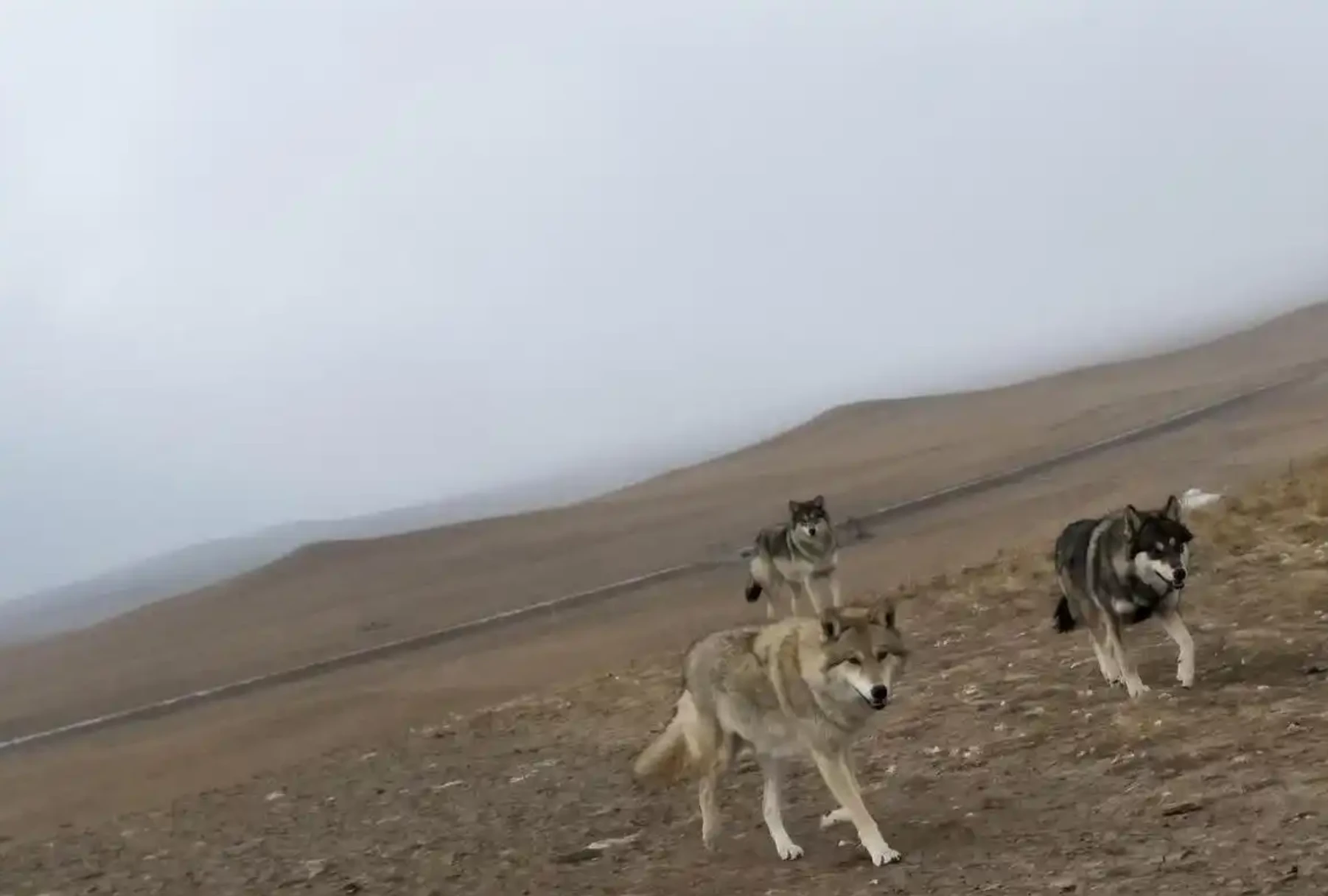
Day 8 — Tuotuohe → Chumar River → Wudaoliang → Budongquan
We leave early, because the morning is the best time for animals. The road runs along the edge of the Hoh Xil region, past the Chumar River, Wudaoliang and the Sonam Dargye protection station. Wudaoliang is a place where Tibetan antelope are watched in the migration season. We watch from the road only, and keep to the rules above, and arrive at Budongquan in the evening light. Hotels in these small places are basic, and every traveller on this road stays here overnight.
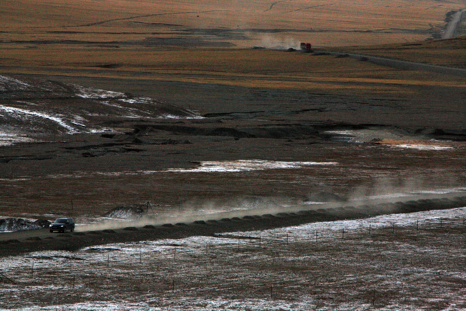
Day 9 — Budongquan → Kunlun Pass → Golmud
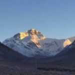
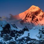
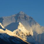
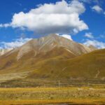
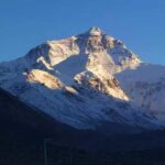
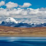
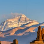
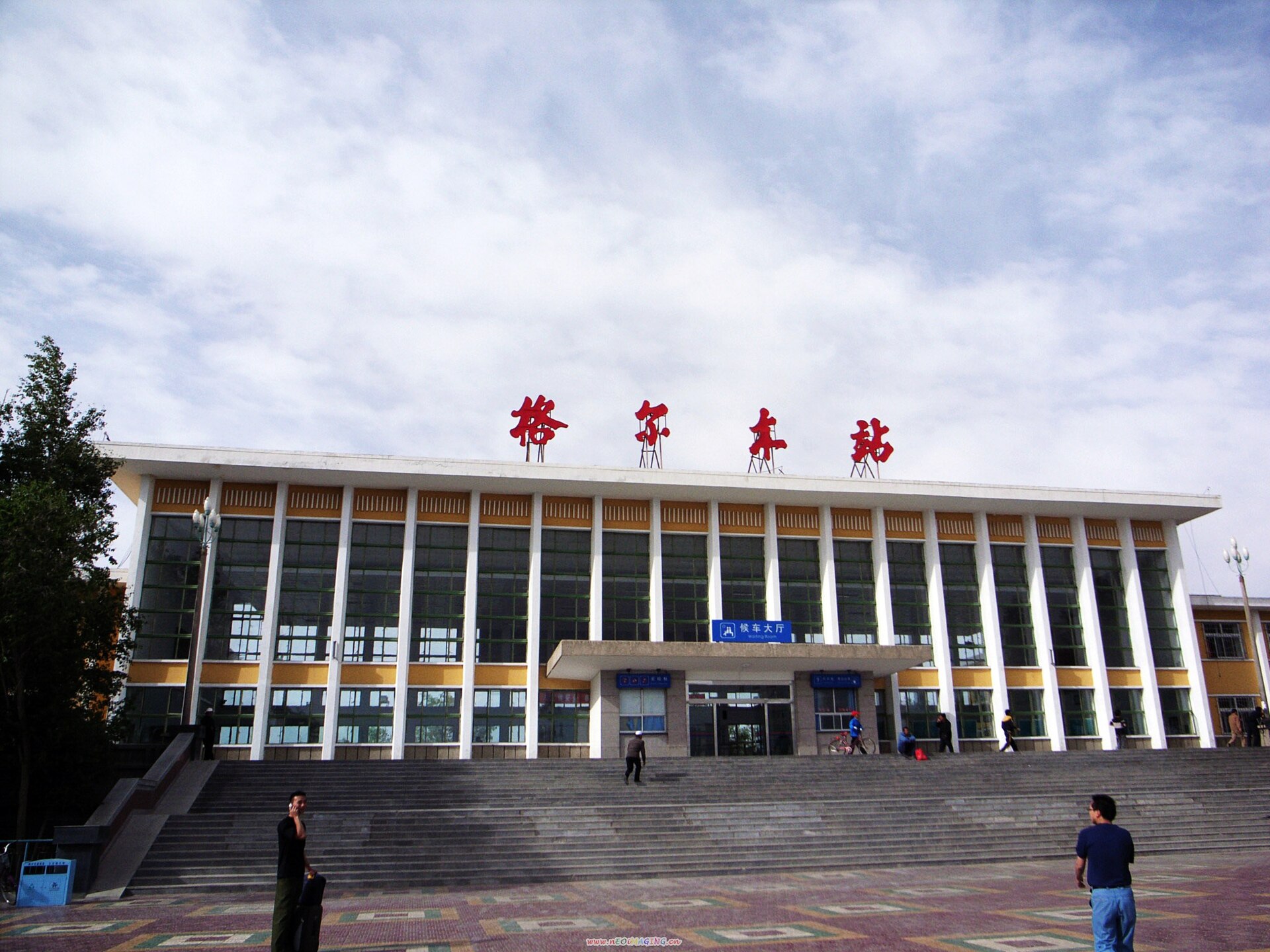
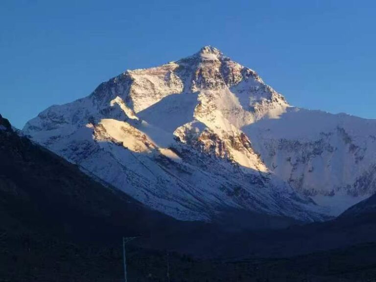
The last morning is another chance for animals. Then the road crosses Kunlun Pass, with the snow peak of Yuzhu Peak in view, and we take our time with photos all the way down to Golmud. Altitude drops by almost 2,000 m in one day, and most guests feel better quickly.
Day 10 — Golmud → Departure
Breakfast · Transfer to Golmud airport or railway station
Fly or take the train from Golmud to Xining and finish your journey there, or continue elsewhere in China. Our guide and driver drive back to Lhasa.
Starting and finishing in Xining
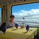
Most photographers choose to start in Xining. You take the Tibet train from Xining to Lhasa, about 21 hours, and we arrange your permit and train tickets. The train climbs slowly, which helps with the altitude, and the first part of the plateau is seen from the window. Train times change by season, so we choose the departure that gives you the most daylight on the plateau and check it when we book. Then our own guide and vehicle take you from Lhasa to Golmud, and you return to Xining by flight or train.
Entering Tibet by road from Xining or Golmud needs a Qinghai permit, Qinghai vehicles and guides as far as Nagqu, and costs several times more, so we do not recommend it.
Photography notes
Bring your longest lens. For wild yak and antelope, 400 mm or more is the practical minimum. A beanbag for the vehicle window is very useful, and so is a spare battery, because cold and altitude shorten battery life. Two more points: the air is dry and dusty, so keep a cleaning kit, and always tell the guide before you get out of the vehicle.
Photo credits
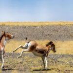
All photos are from Wikimedia Commons, with the photographer and licence shown under each picture. The animal photos are: kiang running, Candle Tree, CC BY-SA 4.0; Tibetan antelope, James Eaton, CC0; kiang herd at Tso Kar in Ladakh, Chinchu2, CC BY-SA 2.0; Tibetan gazelle, Ashwin Viswanathan, CC BY 4.0.
Related tours
See all our wildlife and bird watching tours and photography tours. If you want to continue after Golmud to the Silk Road, see our 14-day Plateau to Silk Road overland tour.
Permits
Tibet Travel Permit — we apply for you, so send us your passport copy at least 15 working days before arrival.
All permits for this route are handled and included.
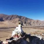
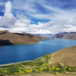
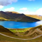
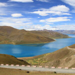
Photos from this route
Want another 10-day choice?
See all 9 tours of 10 days →
Questions travellers ask
Can you see wild yaks and Tibetan antelope on this tour?
Yes, there are real chances. Wild yak, Tibetan antelope (chiru), kiang and Tibetan gazelle live on the plateau along the Qinghai–Tibet highway north of Nagqu. They are wild animals on open land, so we cannot promise a sighting. We give you time, early starts and a guide who knows where they are usually seen.
When is the best time to photograph Tibetan antelope?
Mid-May to June, when the females walk north to give birth. Early June is usually the biggest movement near the highway. In July and August they return south, and in September large groups are gone, but the light is clear and the wild yak are in their mating season.
Can I enter Kekexili (Hoh Xil) nature reserve on this tour?
No. The core zone is closed to all visitors, and we do not apply for any permit to enter it. The highway runs along its edge, and all watching and photography is done from the road. We do not drive off the road, approach the animals or fly drones.
Is this a private tour?
Yes. Photography tours run privately, so the stops follow your plan and your light, not a group schedule. The price is for the vehicle and guide, shared by your party, so a party of two is the base.
Can I start or finish in Xining?
Yes. You can take the Tibet train from Xining to Lhasa, about 21 hours, and we arrange the permit and tickets. Then the tour runs to Golmud, and you return to Xining by train or a short flight. This adds 1 to 2 days at the two ends.
How high is the route and will I get altitude sickness?
Lhasa is 3,650 m, Nagqu 4,510 m, Baingoin about 4,700 m and Tanggula Pass 5,231 m. We spend three nights in Lhasa first, and the route goes down to Golmud (about 2,800 m) at the end. Walk slowly, drink water and tell your guide at once if you feel unwell.