


The Grand Loop
- Duration
- 9 days
- Pace
- Moderate
- Group size
- Private, on your dates
- Best season
- April to June and September to October
The trip at a glance
Central Tibet in full — Everest Base Camp, Yamdrok and Namtso lakes, Yangpachen geothermal springs, and the northern plateau road that most travellers never take. Four roads, no repetition.
Four roads — no road repeated
Read the full overview
South — outbound
Kamba La · Yamdrok · Karo La · Gyantse · Shigatse
Day 4
West — Everest
Gyawu La · Rongbuk · EBC · return to Shigatse
Days 5–6
North — new road
Shogula · Dongula · Yangpachen · Damxung
Day 7
East — lake belt
Namtso · Lhasa Expressway · Lhasa
Day 8
- Lhasa
 Yamdrok
 Gyantse
- Shigatse
 Everest Base Camp
- Yangpachen
 Namtso
- Lhasa
Days 1–3 — The Lhasa Foundation
Potala Palace · Jokhang · Barkhor · Sera debate · Acclimatisation
- Day 1 — Arrival in Lhasa Airport pickup · Acclimatisation · Rest
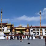
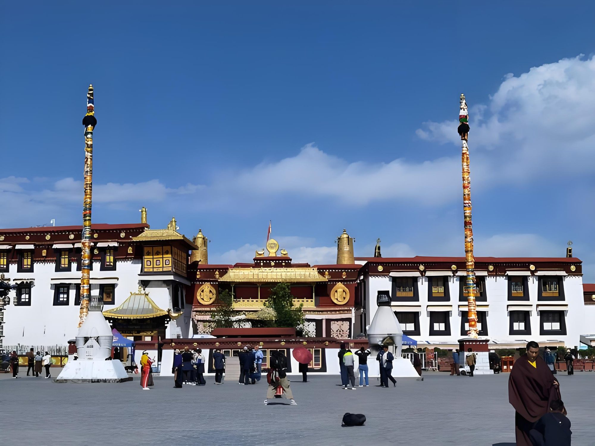
- Day 2 — Jokhang Temple · Barkhor Circuit · Tibet Museum Breakfast
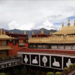
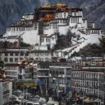
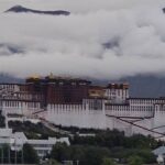
- Day 3 — Potala Palace · Sera Monastery Debate · Local Family Dinner Breakfast & dinner
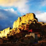
Scenes from the Grand Loop
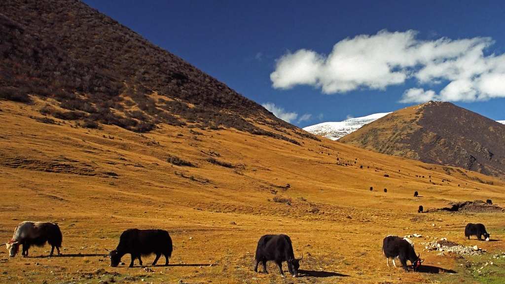
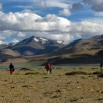
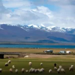
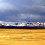
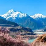
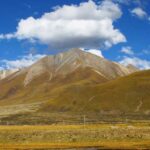
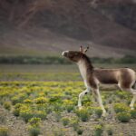
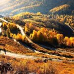
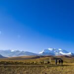
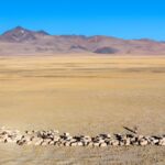
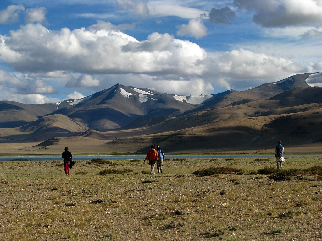
Four roads · Four landscapes. Damxung grassland — yak herds on the autumn steppe, Nyenchen Tanglha behind · Day 7.
Yangpachen — where the earth heats from below. Steam visible from kilometres away. Ground temperatures far above ambient air. Tibet’s first geothermal power station operates here. The hot springs are accessible and unmanaged — plan at least an hour at the field.
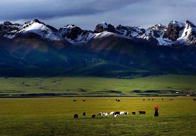
A true geographic loop — four distinct roads
Every road on this itinerary is different. By Day 9 you have seen central Tibet from all four directions.
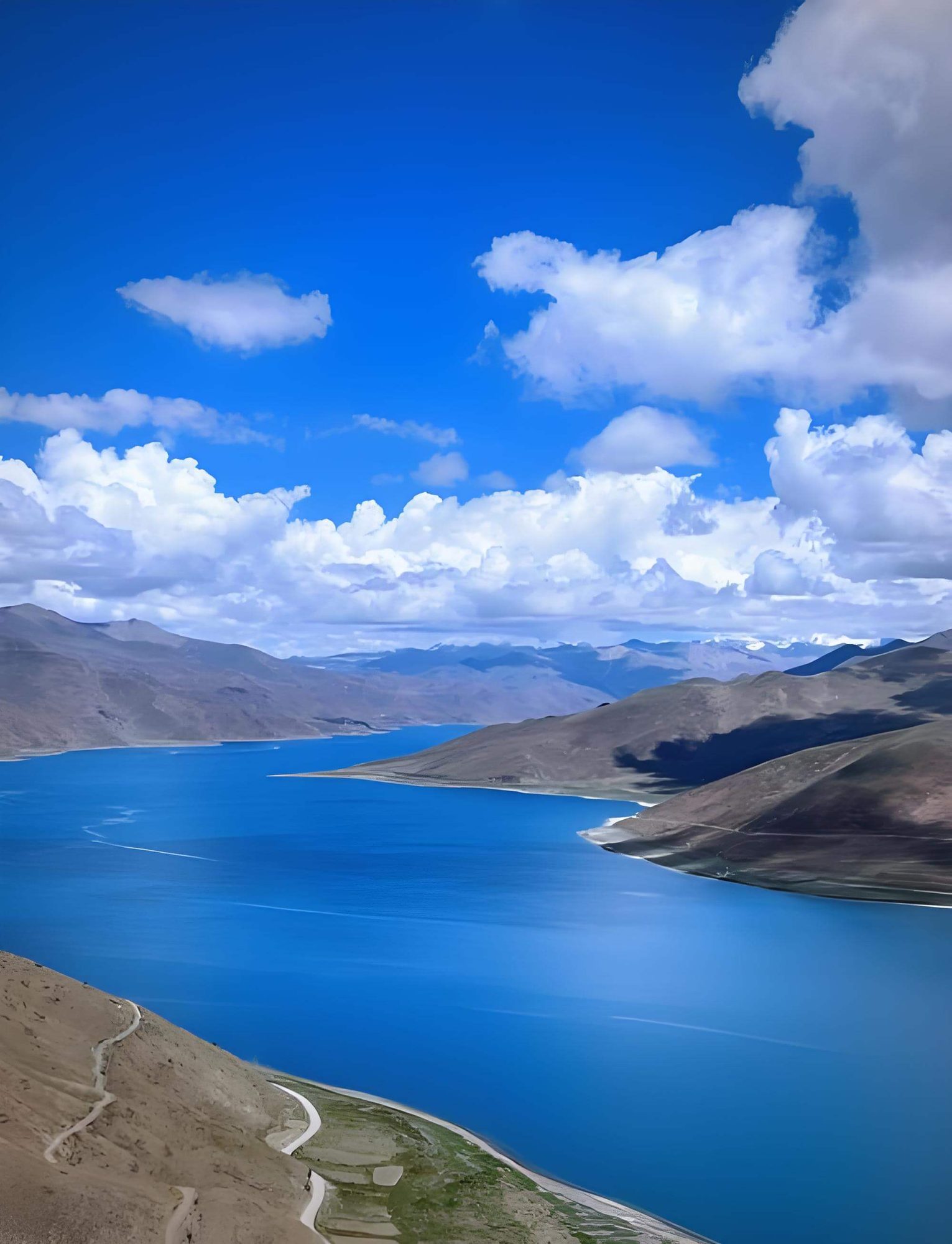
South — Day 4
The classic mountain corridor: Kamba La, Yamdrok, Karo La glacier, Gyantse, Shigatse. The agricultural heartland of Ü and Tsang provinces.
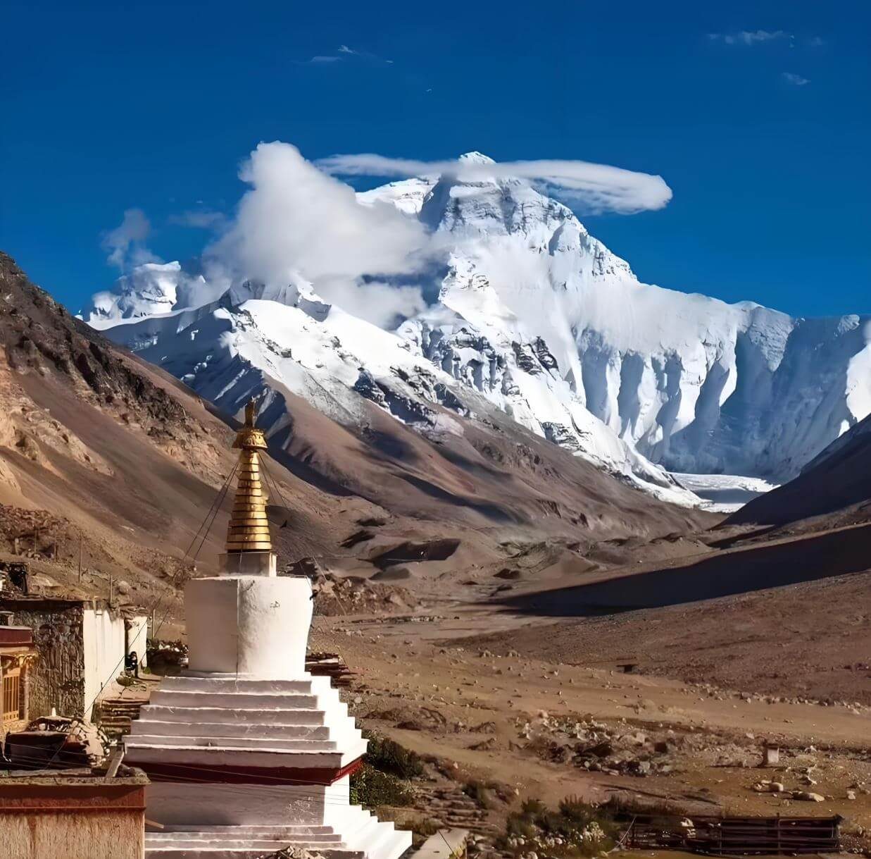
West — Days 5–6
The Friendship Highway to the Everest frontier. Gyawu La with five 8,000-m peaks. Rongbuk at the foot of the North Face. The roof of the world.
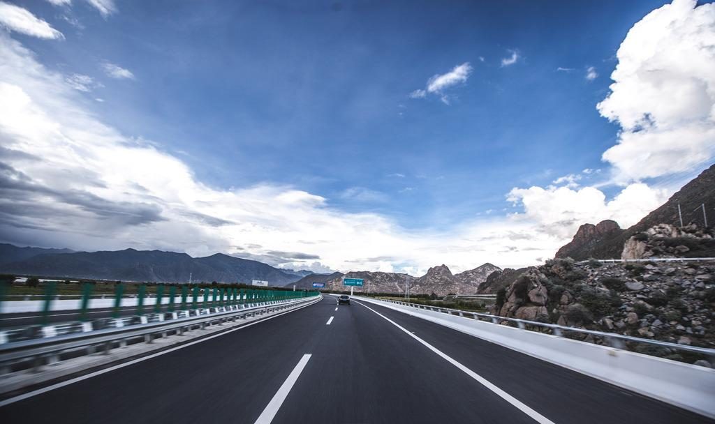
North — Day 7
The road most travellers never take. Shogula, Dongula, the Nyenchen Tanglha foothills. Yangpachen’s steam rising from the earth at 4,300 m.
East — Day 8
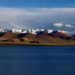
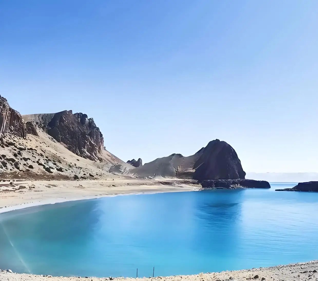
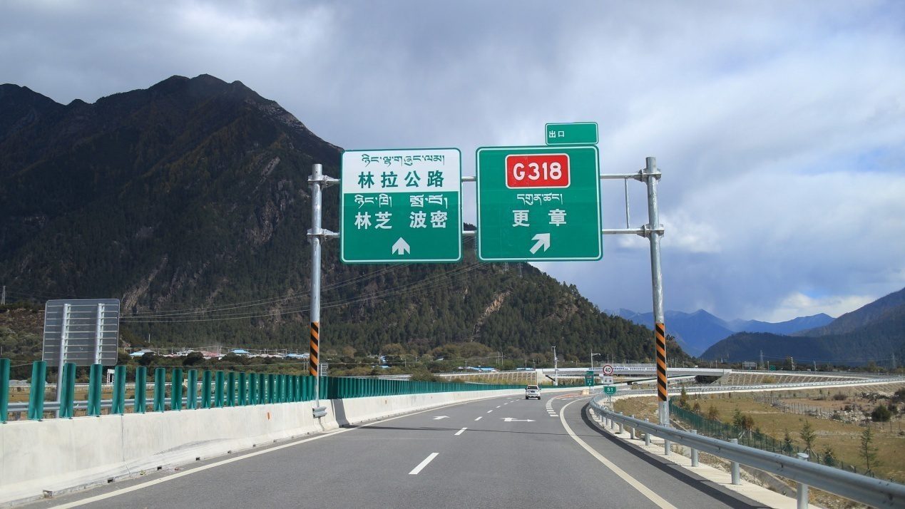
Namtso — 1,920 km² of sacred blue water at 4,718 m, the Nyenchen Tanglha behind it. Then the expressway back to Lhasa, fast and modern.
Plan the Grand Loop
Private guide and vehicle. All permits included. Four roads, nine days, no repetition.
Route at a glance
Lhasa
3,650 m · Cultural foundation
Yamdrok · Karo La · Gyantse · Shigatse
Up to 5,010 m · South road
Gyawu La · Five peaks · Rongbuk
5,198 m pass · 5,100 m overnight
EBC sunrise · Return to Shigatse
5,200 m · West road
Shogula · Dongula · Yangpachen · Damxung
North road · Hot springs
Namtso · Lhasa Expressway · Lhasa
4,718 m lake · East road
Departure — Gonggar Airport
Permits
TTB Permit — mandatory. 15 working days.
Alien’s Travel Permit — all stops west and north of Lhasa.
EBC Restricted Area Permit — required. Included.
Namtso Restricted Area Permit — required. Included.
All permits handled and included.
Where you go, and how high you sleep
The route, stop by stop
Lhasa → Yamdrok → Gyantse → Shigatse → Everest Base Camp → Yangpachen → Namtso → Lhasa
- Kamba LaDay 4
- Shigatse → Gyawu La — Five Peaks → Rongbuk MonasteryDay 5
- Sunrise at Everest Base CampDay 6
- Shigatse → ShogulaDay 7
- Namtso — The Heavenly LakeDay 8
- Free MorningDay 9
Day by day
Kamba La · Yamdrok Lake · Karo La Glacier · Gyantse · Shigatse
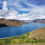
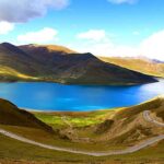
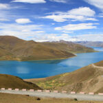
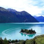
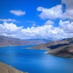
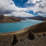
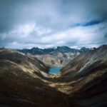
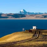
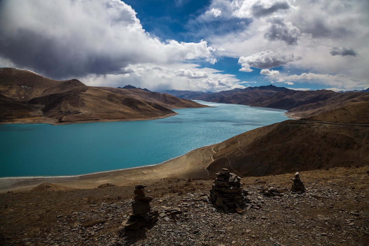
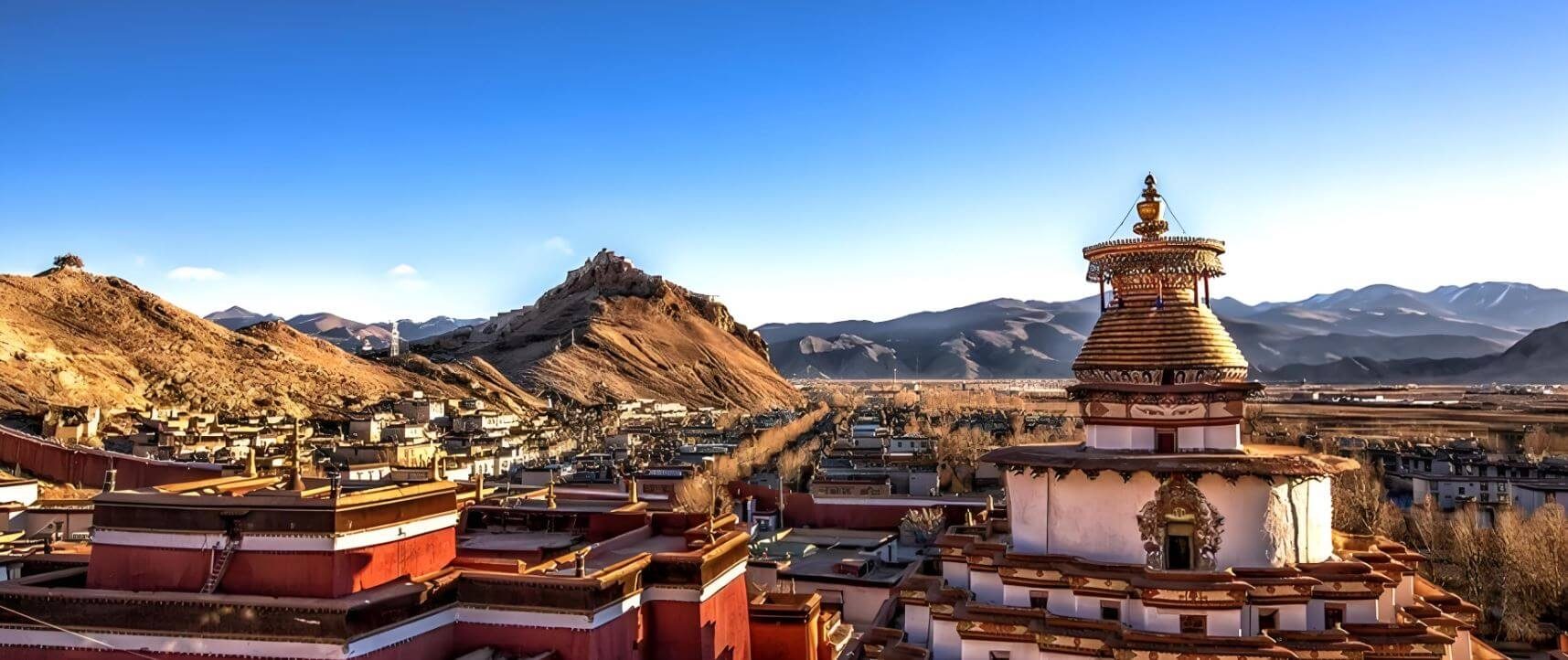
The road south from Lhasa climbs to Kamba La (4,794 m), where Yamdrok Lake opens below — a 72-km arc of turquoise water bounded by ochre mountains. From Yamdrok, cross Karo La at 5,010 m — a glacier at road level, close enough to touch. Gyantse and its Kumbum Stupa fill the afternoon; the Nianchu valley runs west to Shigatse by evening. Overnight Shigatse (3,836 m).
Shigatse → Gyawu La — Five Peaks → Rongbuk Monastery
West from Shigatse the Friendship Highway follows the Yarlung Tsangpo upstream, the valley narrowing, the landscape growing drier and more remote with each kilometre. Lhatse is the last town of any size. Beyond it the plateau empties. Shelkar / New Tingri (4,300 m) is the gateway: from here a 100-km side road turns south toward Everest.
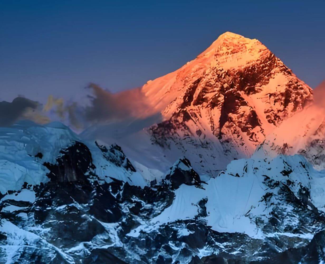
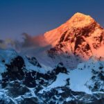
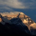
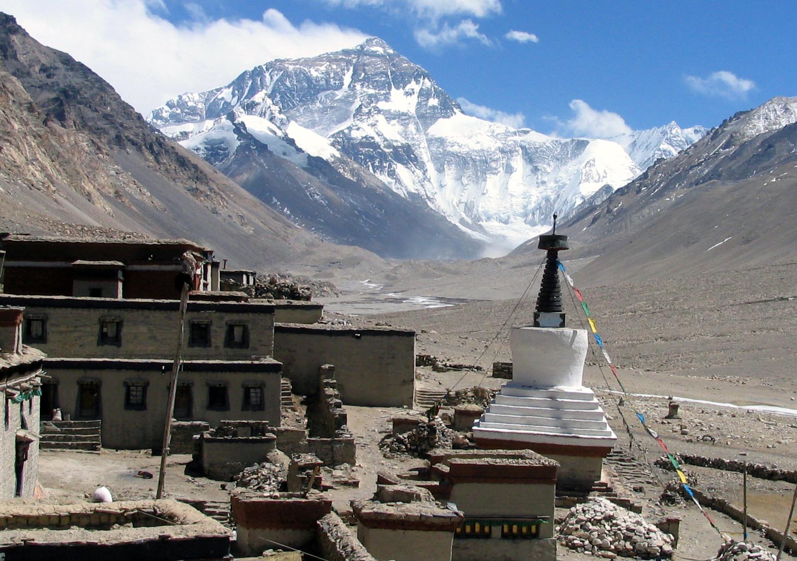
At Gyawu La (5,198 m) the world assembles itself on the southern horizon — five of the earth’s fourteen 8,000-metre peaks simultaneously in frame: Everest (8,848 m), Lhotse (8,516 m), Makalu (8,485 m), Cho Oyu (8,201 m), and Shishapangma (8,027 m). Stop here for as long as you need. Beyond the pass, Rongbuk Monastery (5,100 m) sits directly below the North Face with an unobstructed sight line to the summit. Overnight at the Rongbuk guesthouse — the highest overnight stop of the journey.
Gyawu La — five 8,000-m peaks simultaneously
Everest · Lhotse · Makalu · Cho Oyu · Shishapangma — no other road on earth offers this. Bring your widest lens. Walk slowly at 5,198 m.
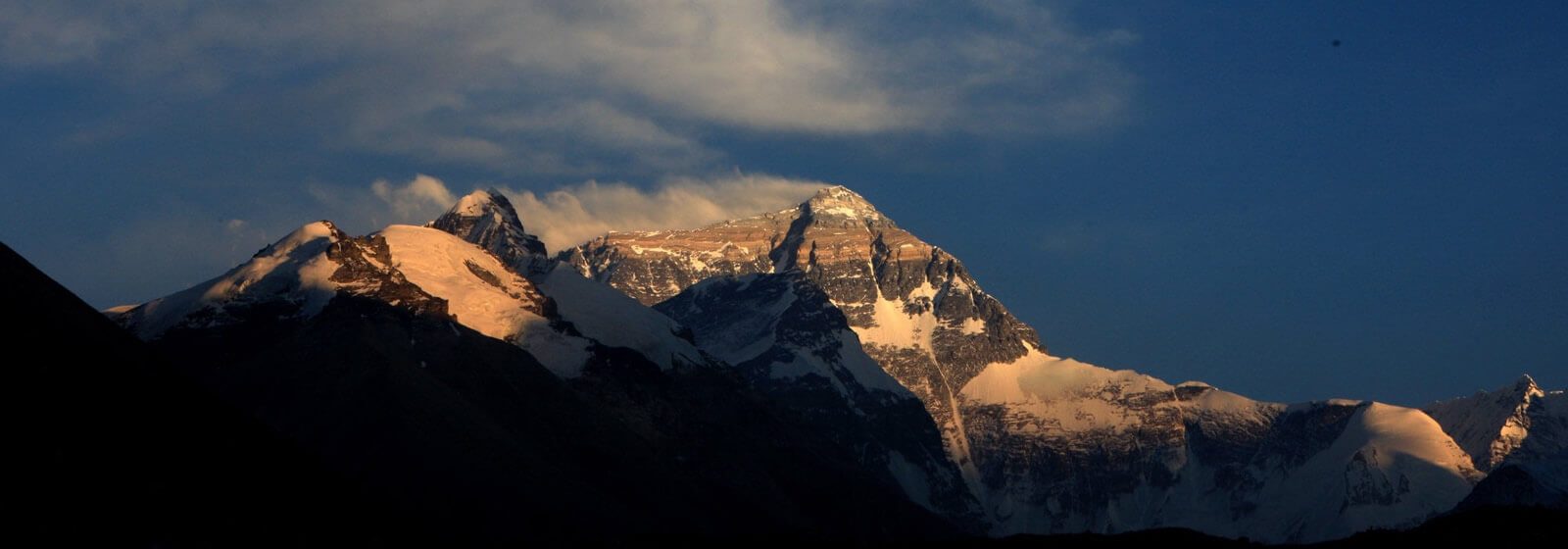
Sunrise at Everest Base Camp · Return East · Shigatse
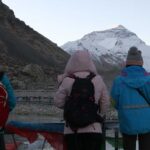
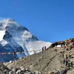
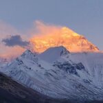
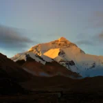
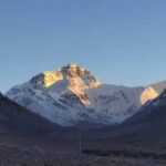
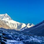
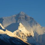
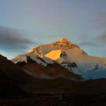
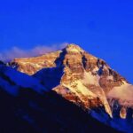
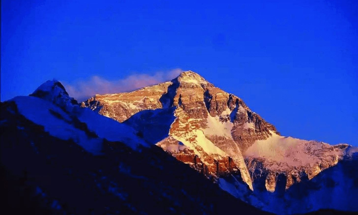
Rise before dawn. The sunrise on the North Face of Everest moves through its colour sequence — purple, rose, gold, blinding white — in about twenty minutes. Everest Base Camp (5,200 m) is 8 km from Rongbuk along the moraine road, reached on foot or by shuttle. The flat gravel at the foot of the Rongbuk Glacier, the prayer flags, the altitude, the silence — the mountain is present in a way that photographs cannot transmit.
After breakfast, leave Rongbuk and drive north, rejoining the Friendship Highway at Shelkar. Then east toward Shigatse. The return leg of this middle section runs through the same Lhatse corridor — the plateau, the Yarlung Tsangpo, the barley fields near Shigatse — but the direction has changed and the quality of light in the afternoon is different. Overnight Shigatse.
Altitude at Base Camp — 5,200 m
Walk very slowly. Drink water. If you feel significantly unwell at Rongbuk, tell your guide — the protocol is to descend to Shelkar (4,300 m) immediately.
Shigatse → Shogula · Dongula Passes → Yangpachen → Damxung
This is the road that most travellers never take. From Shigatse, instead of retracing either the southern mountain route or the Yarlung Tsangpo valley, a northern road climbs through the Nyenchen Tanglha piedmont toward the interior plateau. The passes come quickly: Shogula first, then Dongula, each one crossing a ridge of the range that separates the Tsang valleys from the northern plateau. The landscape on the far side of each pass is progressively more open, more empty, more purely Tibetan in the sense that nothing about it resembles anywhere else on earth.
Yangpachen (4,300 m) announces itself before you arrive. Steam rises from the earth in long columns visible from several kilometres out — Tibet’s most dramatic geothermal field, where the Indo-Eurasian plate collision produces heat at the surface in the form of boiling mud pools, fumaroles, and hot springs strong enough to run a power station. The geothermal plant here was Tibet’s first. The hot springs are accessible and genuine — not managed resort pools but actual ground-level springs at temperatures that make prolonged bathing inadvisable. Soak your feet. The steam against the cold plateau air is an unusual sensation at altitude.
North of Yangpachen the road crosses into the Damxung basin. The Nyenchen Tanglha range lines the eastern horizon — its main peak reaches 7,162 m and is considered the spiritual king of Tibet’s northern mountains. Overnight in Damxung County town (4,200 m), on the main Qinghai-Tibet Highway corridor.
Yangpachen — where the earth heats from below
Steam visible from kilometres away. Ground temperatures far above ambient air. Tibet’s first geothermal power station operates here. The hot springs are accessible and unmanaged — plan at least an hour at the field.
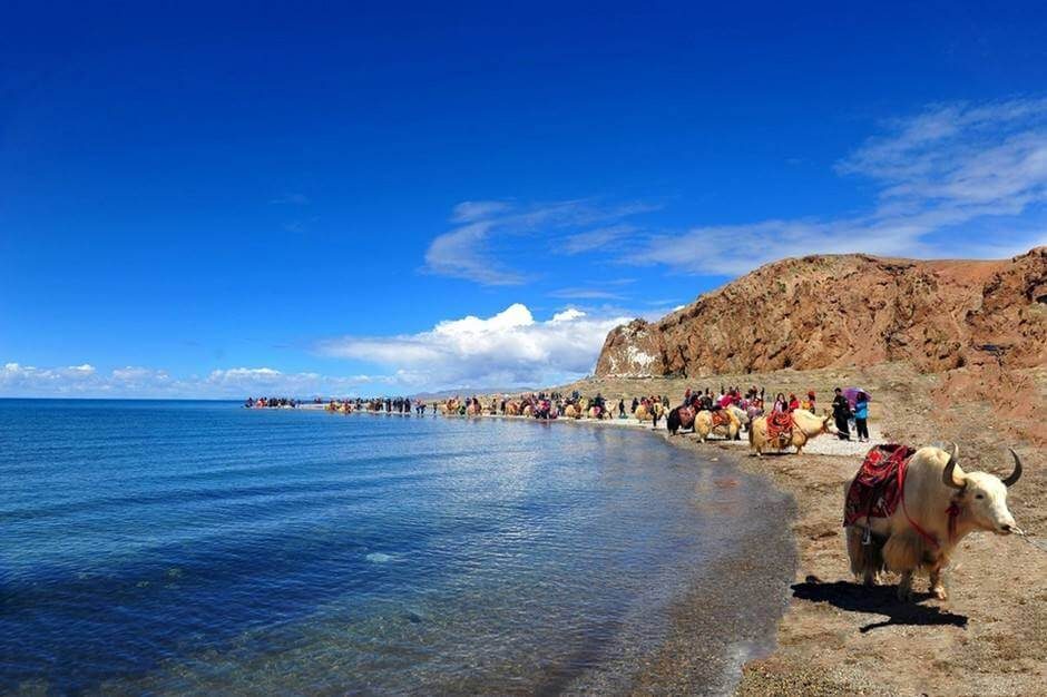
Namtso — The Heavenly Lake · Lhasa Expressway · Lhasa
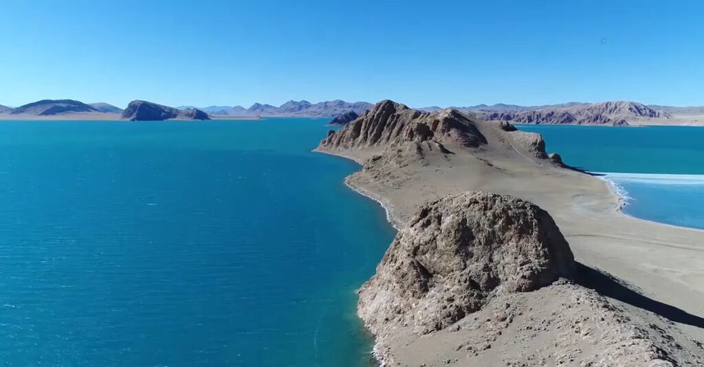
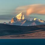
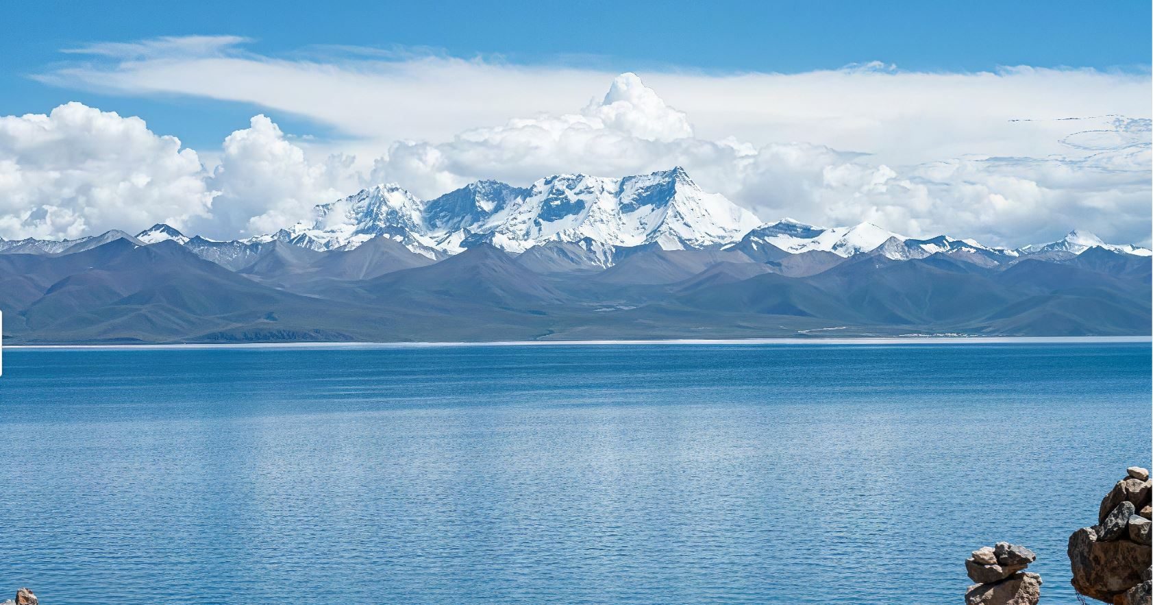
From Damxung, the road east to Namtso climbs over the Largen La pass before the lake appears on the far side — and when it does, the scale is genuinely disorienting. Namtso is 1,920 km² of cold blue water at 4,718 m above sea level, ringed by the Nyenchen Tanglha to the south and the Changtang plateau to the north. It is the highest saltwater lake in the world and one of the three sacred lakes of Tibet.
The water at Namtso changes colour with the light and the angle of view — turquoise near the shore, cobalt further out, almost black at the horizon under cloud. Tashi Dor peninsula on the southern shore holds a cluster of monastery buildings and cave retreats, occupied by monks and hermits for centuries. Pilgrims walk the 70-km circumambulation of the lake in three days. There is nothing rushed about the relationship Tibetan Buddhism has with Namtso.
After several hours at the lake, return to Damxung and join the Lhasa Expressway heading south. The road runs straight through the Doilungdêqên valley and arrives in Lhasa in approximately three hours — a fast, sealed highway, the contrast with the week of passes and plateau roads behind you considerable. Overnight Lhasa.
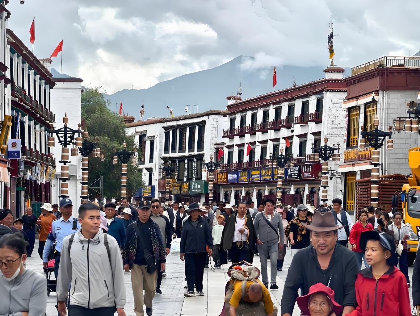
Free Morning · Departure — Gonggar Airport
A final morning in Lhasa. The Barkhor circuit at dawn, or simply the city — the streets calm before the pilgrims arrive in numbers. Transfer to Gonggar Airport (70 km south of Lhasa, approximately one hour). Alternatively, depart by train from Lhasa railway station. Tour services end at the point of departure.
Photos from this route
Want another 9-day choice?
See all 12 tours of 9 days →

Questions travellers ask
What makes this a 'grand loop' — how does the route differ from the 8-day Everest tour?
The 8-day Everest tour returns to Lhasa via the Yarlung Tsangpo river valley. This 9-day tour continues north from Shigatse on an entirely different road — over the Shogula and Dongula passes through the Nyenchen Tanglha foothills — reaching Yangpachen and Damxung before visiting Namtso and returning to Lhasa by expressway. By the end, you have circled central Tibet on four completely different roads, covering the southern mountain corridor, the Everest frontier, the northern plateau approach, and the lake belt. No road is repeated.
How does Namtso compare to Yamdrok — aren't both sacred lakes?
Yes — both are among Tibet's three holy lakes (the third is Manasarovar, near Kailash). Yamdrok at 4,441 m is warmer, lower, and more intimate — 72 km long but enclosed by mountains. Namtso at 4,718 m is vast and open — 1,920 km², the sky enormous, the Nyenchen Tanglha rising from its southern shore to 7,162 m. Yamdrok feels like a jewel set in mountains; Namtso feels like an inland sea. Most travellers who see both say the contrast between them is one of the highlights of the loop.
What are the Yangpachen hot springs like?
Yangpachen is Tibet's most significant geothermal area — a field of fumaroles, boiling mud pools, and hot springs at around 4,300 m. A geothermal power station operates here. The springs accessible to visitors are genuine natural features, not a managed spa. Water temperatures vary across the field; some pools are cool enough for soaking, others are near boiling. The visual effect — columns of white steam rising against the backdrop of the northern Himalayan foothills and a very blue sky — is extraordinary.
Is the northern road (Shigatse–Yangpachen) sealed and reliable?
Yes — the route via Shogula and Dongula is fully paved. It is less travelled than the Friendship Highway or the Yamdrok corridor, which means lighter traffic and a sense of genuine remoteness, but it does not require a 4WD vehicle or special off-road capability. Driving time from Shigatse to Damxung via Yangpachen is approximately six to eight hours, including stops at the passes and the geothermal field.
What is the highest point of this tour?
Everest Base Camp at 5,200 m is the highest point visited. Gyawu La at 5,198 m is the highest road point. After the EBC night (Rongbuk, 5,100 m), the tour descends progressively: Shigatse (3,836 m), Yangpachen (4,300 m), Damxung (4,200 m), Namtso (4,718 m), and Lhasa (3,650 m). The altitude profile is a single high excursion to EBC followed by a gradual loop back — most travellers find Days 7–8 comfortable after the EBC acclimatisation.