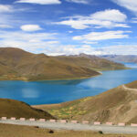
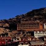
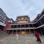
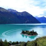



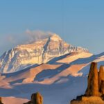
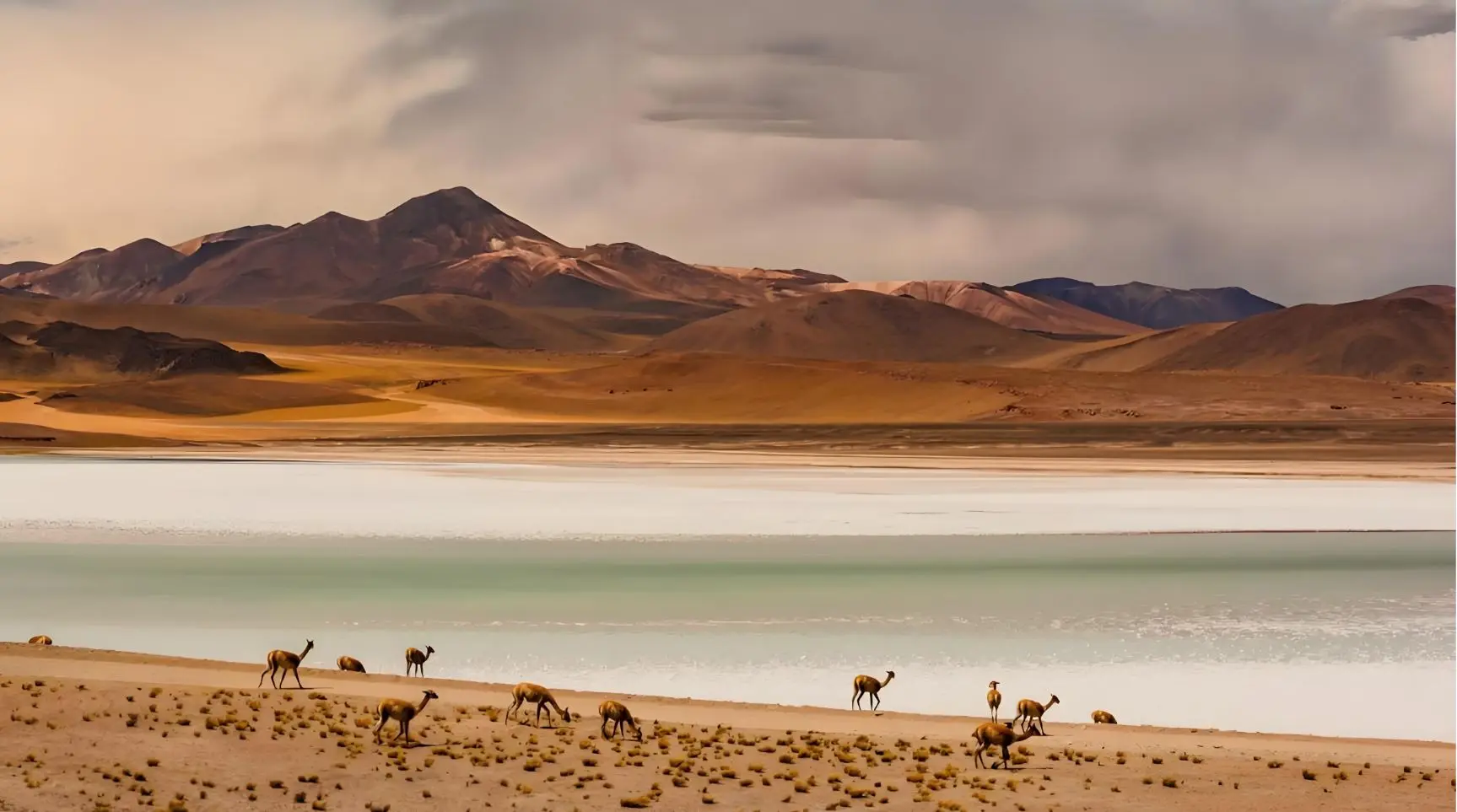
Plateau to Silk Road
Hoh Xil Wildlife Reserve · Qaidam Basin · Ancient Cultural Corridor
From Lhasa north through the Hoh Xil (Kekexili) UNESCO Wildlife Reserve — home to 70,000 Tibetan antelope — across the Qaidam Basin and Lenghu Mars landscape to the Mogao Caves of Dunhuang. The same corridor ancient Tibetan monks and messengers travelled to the Silk Road, a thousand years ago.
Important: Hoh Xil core reserve is closed to general tourism — all wildlife observation takes place alongside the G109 highway through the buffer zone, where wildlife is regularly visible from the road. Altun Mountains interior is off-limits; Wild Bactrian Camel sightings along the periphery are opportunistic. No wilderness off-road camping. Best operating season: June–September .
Four ecosystems — one overland corridor
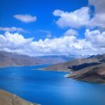
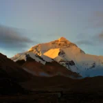
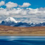
Tibetan Plateau
3,650–4,510 m · Days 1–4
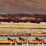
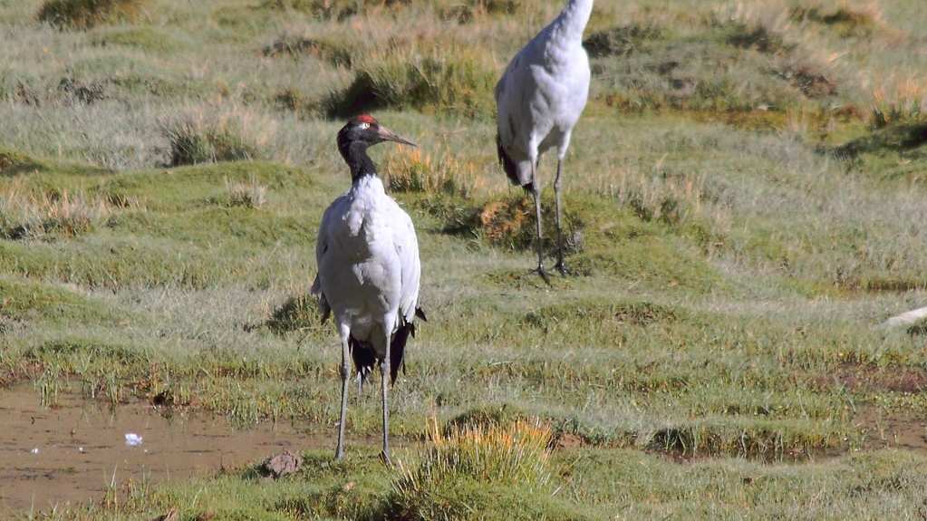
Tibetan Gazelle · Kiang · Black-Necked Crane
Alpine steppe · Sacred river valleys · Nomadic grassland
Hoh Xil UNESCO Reserve
4,600–5,000 m · Days 5–6
Chiru · Wild Yak · Tibetan Wolf · Snow Leopard habitat
Vast plateau wilderness · Yangtze headwaters · Calving grounds
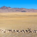
Qaidam Basin
2,750–3,170 m · Days 7–10
Przewalski’s Gazelle · Flamingo colonies · Desert raptors
Salt lakes · Yardang formations · Mars landscape at Lenghu
Dunhuang Silk Road Oasis
1,140 m · Days 11–14
Desert passerines · Oasis migrants · Dune raptors
Singing sand dunes · Crescent Moon Spring · Mogao Caves
Tour Overview
Tibet’s Ancient Land-Bridge — from the Plateau to the Silk Road
This 14-day overland expedition follows the ancient land-bridge between Tibet’s high-plateau civilisation and the Silk Road hub of Dunhuang. Beyond its primary focus on high-altitude wildlife observation across the Changtang grasslands and the Hoh Xil (Kekexili) UNESCO Wildlife Reserve — home to 70,000 Tibetan antelope (Chiru), wild yak, Tibetan wolf, and Przewalski’s gazelle — the tour tells a deeper historical story: during the Tubo period (7th–9th centuries CE), this very corridor carried monks, messengers and manuscripts between the Tibetan plateau and the Hexi Corridor.
Thousands of ancient Tibetan-language scrolls discovered in the Mogao Library Cave at Dunhuang provide surviving written evidence of that long-distance cultural exchange — and we connect those threads across the full length of the route, from the Tibet Natural History Museum in Lhasa on Day 3 to the cave where the manuscripts were sealed for a thousand years on Day 13. The itinerary also includes the Tuotuo River Bridge — the first major bridge ever built across the Yangtze, spanning the river at its headwaters at 4,800 m — a key geographic landmark of North Tibet that almost no tour itinerary in the world includes.
Daily driving: Airport transfer only.
Daily driving: Minimal city movement.
Day-by-day itinerary — click any day to expand
Day1
Arrive Lhasa
Arrival in Lhasa at 3,650 metres. No sightseeing today — this is intentional. The body needs time to begin adjusting to high altitude before this journey carries you to 4,600 m on Days 5 and 6. Rest at the hotel, drink plenty of water, eat lightly. A slow walk around the Barkhor circuit in the evening is fine if you feel comfortable, but keep the pace gentle. The plateau will reveal itself over the coming days; the first day belongs to the lungs.
Daily driving: Airport transfer only.
Day2
Extra Acclimatisation Day
A second full day at Lhasa altitude — a deliberate buffer day that significantly reduces altitude sickness risk before you ascend to the high northern plateau. This extra day is not a concession; it is insurance. Groups that skip it frequently experience serious symptoms at Nagqu (4,510 m) and Wudaoliang (4,610 m). Light walking only. No monastery staircases, no uphill sections. Your guide is available for briefings, map review, and informal introductions to the journey ahead.
Daily driving: Minimal city movement.
Day3
Lhasa — Natural History Briefing & Cultural Grounding
Morning: Tibet Natural History Museum. This is not a routine museum visit — for a wildlife-focused journey, it is a field briefing. The museum holds the most comprehensive public display of native Tibetan plateau species in any collection: taxonomy, habitat distribution maps, seasonal behaviour, and the ecological context for the animals you are about to observe in the field. Tibetan antelope, kiang, wild yak, Tibetan wolf, and Przewalski’s gazelle are all documented here. Your guide will introduce each species before you encounter them in person.
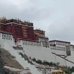
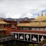
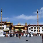
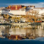
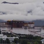
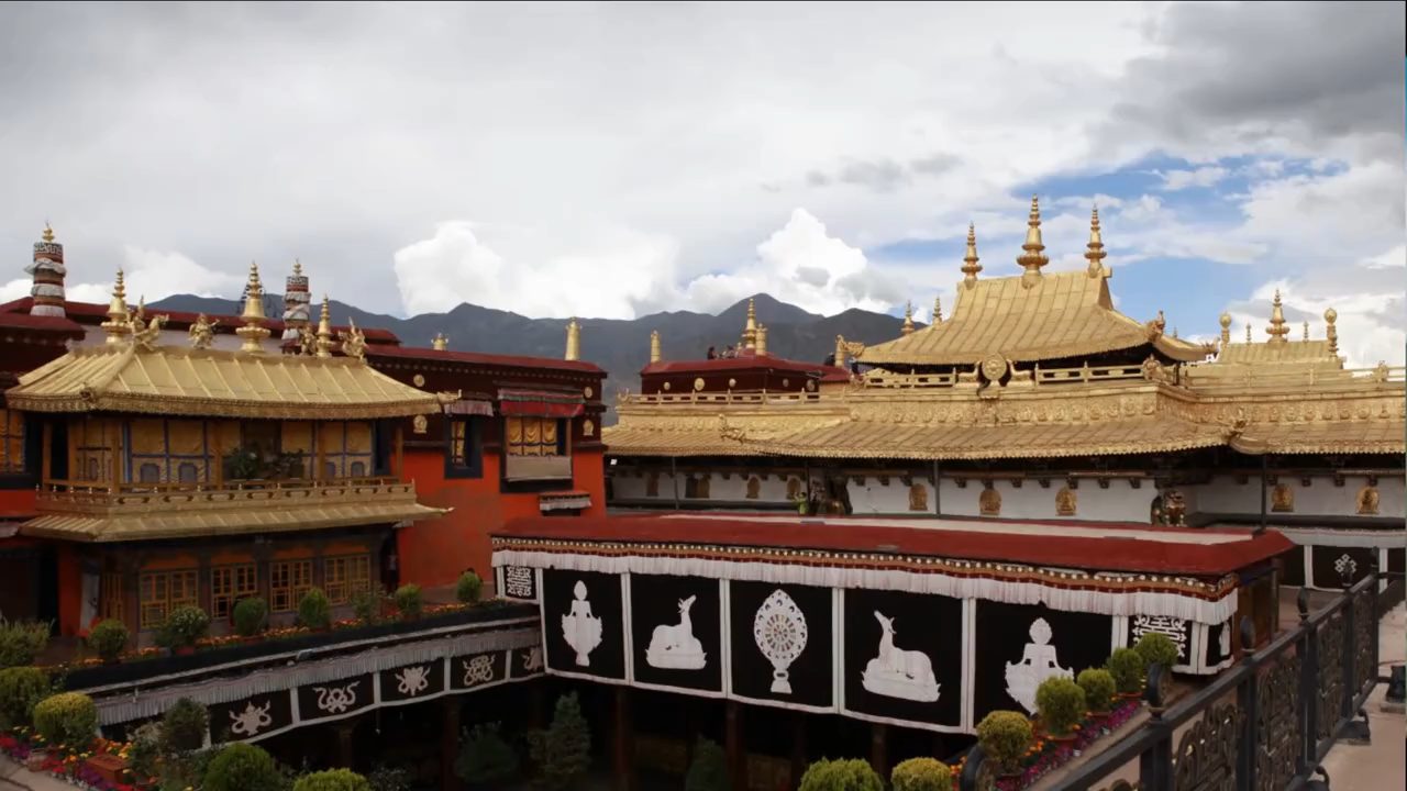
Afternoon: Potala Palace and Jokhang Temple. Beyond their spiritual significance, your guide will introduce a specific historical dimension of this journey: during the Tubo period (7th–9th centuries CE), this corridor north from Lhasa carried monks, messengers, and manuscripts between the Tibetan plateau civilisation and the Hexi Corridor — the same route we will follow all the way to Dunhuang. The thousands of ancient Tibetan-language scrolls discovered in the Mogao Library Cave at Dunhuang are the surviving written evidence of that long-distance cultural exchange. We will connect these threads across the full length of the route.
Daily driving: Short urban transfers.
Day4
Lhasa → Nagqu
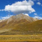
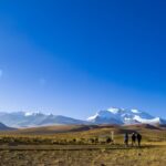
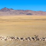
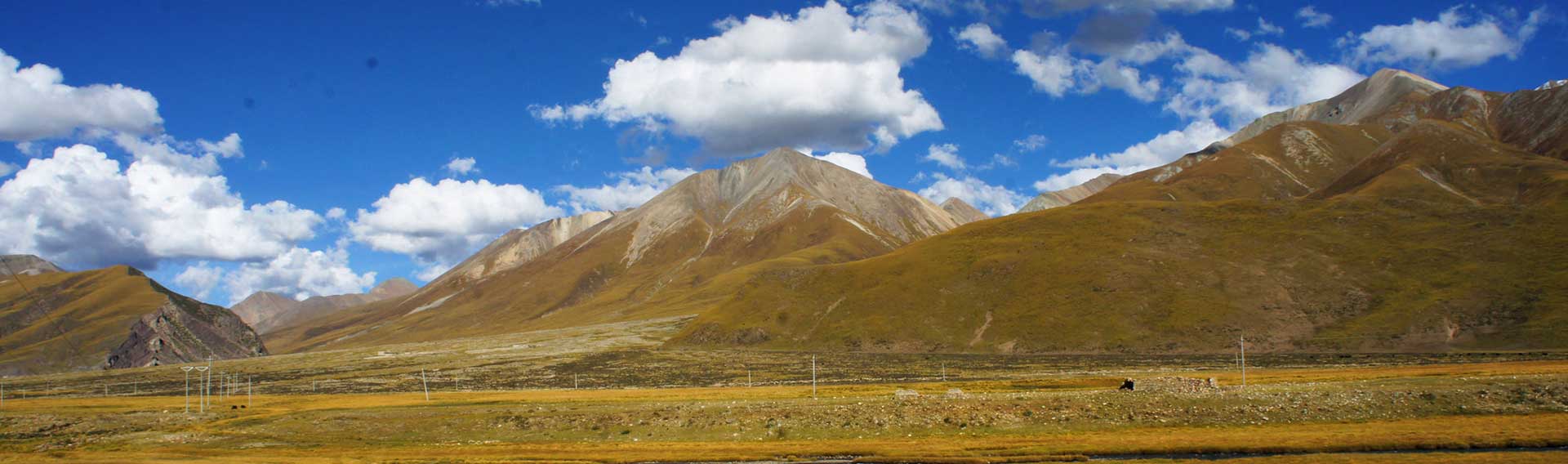
The road north from Lhasa climbs through the Nyenchen Tanglha range and descends onto the open Changtang grasslands. The landscape changes dramatically: from the agricultural river valleys of central Tibet to the wind-stripped, brown-green steppe of the northern plateau. Nagqu sits at 4,510 m — the administrative capital of northern Tibet and the last significant town before the road enters true wilderness.
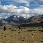
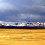
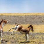
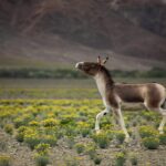
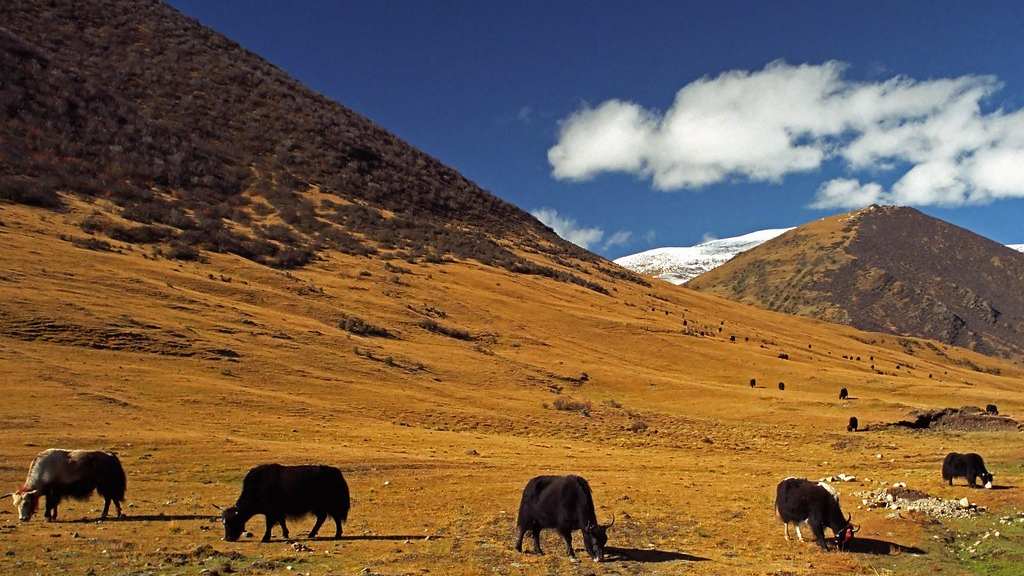
Tibetan gazelles appear along the roadside from this point onward. The scale of the Changtang becomes apparent on the descent: from the ridge above Nagqu, the plateau extends north to the horizon without interruption, the mountains very distant and very flat-topped. You have entered a different world.
Route: 330 km · Approx 6–7 hours including wildlife photo stops.
Day5
Nagqu → Tuotuo River Bridge → Wudaoliang
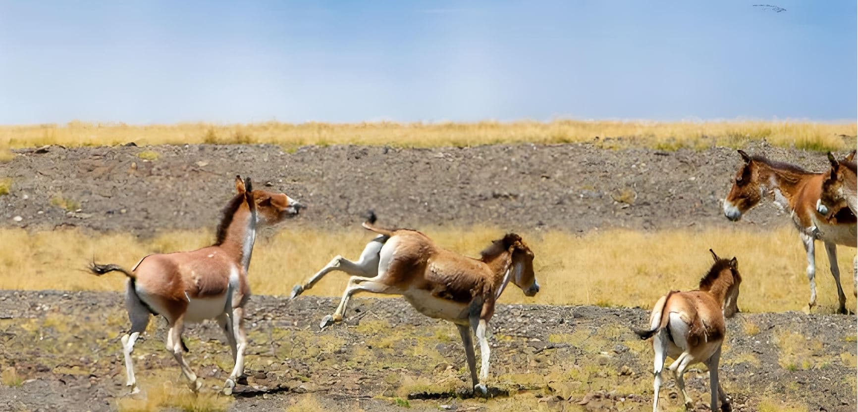
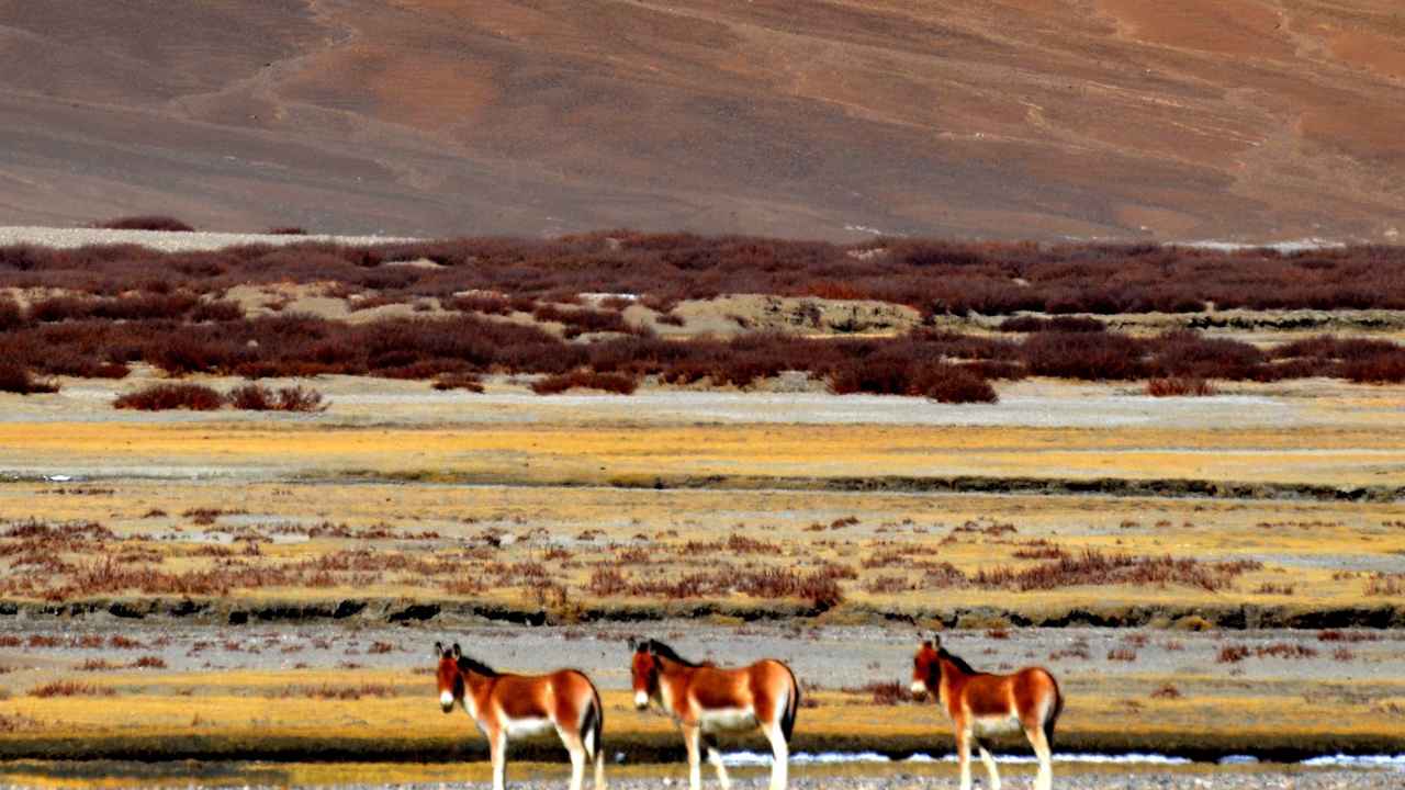
One of the great driving days of the journey. The G109 highway runs northwest from Nagqu through progressively emptier terrain — settlement density drops to near zero, nomad camps become rare, and wildlife becomes the dominant presence along the road. Kiang (Tibetan wild ass) herds of 50 to 200 animals are common from this point; a group moving at speed across the open grassland is one of the defining sights of the plateau.
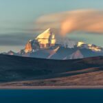
Mid-journey stop: the Tuotuo River Bridge — the first major bridge ever built across the Yangtze River, spanning the Tuotuo River tributary at the Yangtze’s headwaters. The Yangtze begins here, at 4,800 m on the Tibetan plateau, before descending 6,300 km to Shanghai. Standing on this bridge is a genuine geographic moment.
No overnight at Tuotuo River (extreme altitude, significant sickness risk). Continue to Wudaoliang on the edge of the Hoh Xil buffer zone — the base for tomorrow’s wildlife day.
Route: 420 km · Approx 7–8 hours including stops.
Day6
Full-Day Hoh Xil (Kekexili) Wildlife Observation
Hoh Xil — “beautiful girl” in Mongolian — is 45,000 km² of high plateau designated as a UNESCO World Heritage Site in 2017 specifically for its role as the primary calving ground of the Tibetan antelope (Chiru). In June and July, female Chiru migrate here in their tens of thousands from their winter ranges across Tibet to give birth before returning south — one of the largest remaining ungulate migrations on earth. Outside calving season, year-round herds of wild yak, kiang, and Tibetan antelope are regularly observed along the highway corridor.
Important: the Hoh Xil strict core reserve is closed to general tourism. All wildlife observation takes place alongside the G109 highway, which runs through the buffer zone — a corridor where wildlife is regularly and often spectacularly visible from the road. No off-road driving into the reserve interior.
First stop: Sonam Dargye Anti-Poaching Memorial Station. In the 1990s, Chiru had been reduced to around 10,000 individuals by industrial-scale poaching for shahtoosh wool. The patrol rangers — initially operating without formal government backing — lost several members to armed poachers in the field. The recovery of the population to its current 70,000+ is a conservation story with few equivalents in Asia, and one that your guide will tell in full at the station.
The Tibetan wolf is present in the reserve and occasionally visible from the road. Snow leopard tracks are recorded by rangers; a sighting has been documented by visitors but is extremely rare and cannot be expected.
Route: Short mobile patrol along G109, approx 80–120 km round-trip · Driving time flexible, wildlife-focused.
Day7
Wudaoliang → Golmud
The road north crosses Kunlun Mountain Pass before gradually descending from the high-altitude zone into the transition landscape where the Tibetan world meets the administrative boundary of Qinghai province. The descent is gradual but the change in air density is immediately perceptible — at 2,808 m, Golmud feels genuinely lower after four consecutive nights above 4,500 m.
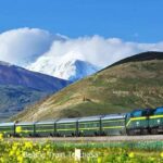
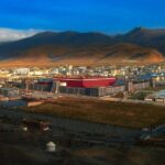
Golmud is not a tourist city. It is a logistics hub for the Qinghai-Tibet Railway and Highway corridor and a key node in China’s western infrastructure. This is a genuine rest stop — a night at lower altitude, a proper hotel, and a physical recovery before the Qaidam Basin crossing.
Your guide will introduce the Qaidam Basin as the historic land bridge linking the Tibetan plateau to the Silk Road — the geographic passage that made this entire ancient corridor possible.
Route: 270 km · Approx 5–6 hours.
Day8
Golmud → Western Qaidam → Mangya
West from Golmud on the G315 highway, the landscape transforms again: plateau grassland gives way to the Qaidam Basin — a vast inland depression between mountain ranges, its floor a mosaic of salt flats, dry lake beds, and high desert. The Qaidam is one of the least-visited landscapes in China and among the most visually extreme.
Przevalski’s gazelle — critically endangered, endemic to Qinghai, estimated at fewer than 2,500 individuals — inhabit the basin margins. Flamingo colonies have been documented at the larger salt lakes, particularly during migration. The road passes through a world that looks constructed rather than natural: white salt encrusting the lake margins in crystalline formations, the mountains behind rising rose-purple at dusk.
Route: 530 km · Approx 7–8 hours.
Day9
Mangya → Nanbaxian Yardang → Da Qaidam
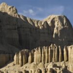
Drive toward Da Qaidam with a stop at the Nanbaxian Yardang — wind-eroded rock and clay formations sculpted by Qaidam Basin desert winds into irregular towers, ridges, and hollows. The effect is one of geological theatre: a landscape shaped entirely by erosion over millions of years, without human reference of any kind.
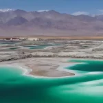
Further along, Da Qaidam’s Emerald Salt Lake presents a startling contrast — vivid turquoise water set against the tawny desert, the colour produced by specific mineral concentrations in a basin that once held a much larger inland sea. This scenic section deepens the Qaidam Basin story without removing any of the core programme ahead.
Route: 340 km · Approx 5.5–6 hours.
Day10
Da Qaidam → Lenghu — The Mars Landscape & Dark-Sky Observatory
Lenghu was an oil-exploration settlement built in the 1950s and largely abandoned when the reserves ran out. Its ghost-town remnants — empty dormitory blocks, rusted equipment yards, streets that end in open desert — sit within a landscape that China’s space agencies have used as a Mars simulation environment: the eroded clay formations surrounding Lenghu produce topography so precisely Mars-like in colour, texture, and absolute barrenness that rover-testing has been conducted here.
In 2020, astronomers confirmed that Lenghu has among the clearest and driest night skies of any inhabited location in China — darker than any major observatory site in Europe. A professional astronomy research base is now established at Saishiteng Mountain above the town. Evening stargazing from designated safe points within Lenghu town limits (no off-road driving into unpatrolled desert). The star canopy over the Qaidam desert is among the most extraordinary night skies in Asia.
Note: Book Lenghu accommodation well in advance during peak season (June–August).
Route: 260 km · Approx 4.5–5 hours.
Day11
Lenghu → Altun Mountains Corridor → Dunhuang
North from Lenghu, the road follows the outer boundary of the Altun Mountains National Nature Reserve — one of the last remaining habitats of the wild Bactrian camel, among the world’s most critically endangered large mammals (fewer than 1,000 in the wild, entirely genetically distinct from domestic camels). The reserve interior is not open to general visitors. However, wild Bactrian camels are known to move outside reserve boundaries along established water routes, and sightings along this corridor have been documented — they are possible, not guaranteed.
The landscape transitions slowly but decisively: high desert gives way to the stone-and-sand terrain of the Hexi Corridor, the ancient passage between the Tibetan plateau and Central Asia. The first dunes of the Gobi fringe appear to the northwest. Dunhuang announces itself by its trees — poplars lining irrigation channels, the green of an oasis city that has survived in the middle of one of Asia’s driest deserts for more than two thousand years.
Your guide will connect the overland journey you have just completed to the historical corridor: this is the route along which Tibetan monks, scribes, and imperial envoys travelled during the Tubo period, carrying manuscripts that eventually came to rest in the sealed Library Cave at Mogao. Tomorrow you will see what survived.
Route: 330 km · Approx 6–7 hours.
Day12
Dunhuang — Singing Sand Dunes & Crescent Moon Spring
The afternoon belongs to the Singing Sand Dunes and Crescent Moon Spring — a freshwater lake that has survived, inexplicably, in the centre of a dune field for at least a thousand years, fed by underground springs that the encroaching desert has never managed to seal. The dunes sing audibly in certain wind conditions: a low, resonant harmonic produced by grain-on-grain movement that Tang Dynasty poets documented and that physicists have still not fully explained.
Climb the dune ridge for sunset. At the height of the ridge, the full geometry of the oasis is visible: the crescent lake below, the desert extending in every direction, and the distant silhouette of the Qilian Mountains to the north. After two weeks on the plateau and across the basin, arriving at this oasis is a particular kind of relief.
Daily driving: Short city transfer.
Day13
Mogao Caves · Yumen Pass · Yang Pass
Morning: Mogao Caves. The finest surviving repository of Buddhist art from the Silk Road era — 492 surviving cave temples carved into a cliff face from the 4th to the 14th century CE, containing murals covering 45,000 m² of wall space and more than 2,000 painted sculptures across a span of ten dynasties. The Tang-era caves are generally considered the finest; their bodhisattvas have a warmth and physical presence that later periods did not maintain.
For this tour specifically, your guide will focus on the Dunhuang Library Cave (Cave 17): sealed around 1000 CE and rediscovered in 1900, it contained approximately 40,000 manuscripts and documents in multiple languages — including thousands of Tibetan-language scrolls. These manuscripts are the direct physical evidence of the cultural corridor you have just travelled: Buddhist texts, administrative documents, and correspondence between the Tibetan plateau and the Silk Road written during the Tubo period. The journey across fourteen days resolves here, in these caves.
Book Class A tickets in advance — they allow access to additional caves normally closed to standard visitors and include an English-language guided programme.
Afternoon: Yumen Pass (Jade Gate) and Yang Pass, 80 km west — the two ancient gateways through which the northern and southern Silk Road branches diverged. Caravans carrying silk, horses, glassware, and Buddhist manuscripts passed through these points for a thousand years. The remains are modest (earth ramparts, a watch tower), but the historical weight of standing at the precise point where the ancient world divided east from west is not modest at all.
Route: Approx 160 km west-loop day trip · 3.5 hours driving plus site visits.
Day14
Departure — Dunhuang Airport
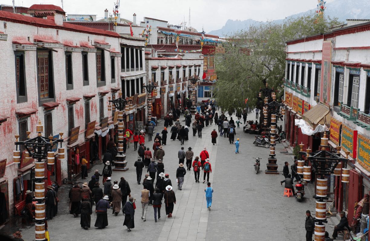
A final morning in Dunhuang — the old town, the covered market, one more walk through the irrigation-lined streets of an oasis city that has been welcoming travellers for two thousand years. Dunhuang Airport connects to Beijing, Xi’an, Chengdu, and major Chinese cities. For those wishing to continue west along the Silk Road, the road to Turpan, Kashgar, and the Karakoram Highway begins from here — this overland ends where another can begin.
No overnight. Tour concludes upon airport drop-off.
Plan this overland
Private guide and vehicle throughout. All Tibet permits included. One-way: Lhasa to Dunhuang. Best June–July for Chiru calving migration.
Route at a glance
Lhasa
3,650 m · Altitude acclimatisation
Lhasa
Natural History Museum · Potala · Jokhang
Lhasa → Nagqu
4,510 m · First plateau wildlife
Nagqu → Tuotuo River → Wudaoliang
4,610 m · Yangtze source · Kiang herds
Full-day Hoh Xil Wildlife
G109 corridor · Chiru · Wild Yak · Sonam Dargye Station
Wudaoliang → Golmud
2,808 m · Kunlun Pass · Descend plateau
Golmud → Mangya (W. Qaidam)
2,900 m · Salt lakes · Przewalski’s Gazelle
Mangya → Da Qaidam
3,170 m · Nanbaxian Yardang · Emerald Salt Lake
Da Qaidam → Lenghu
2,750 m · Mars landscape · Stargazing
Lenghu → Dunhuang
1,140 m · Altun corridor · Bactrian Camel range
Dunhuang — Sand Dunes & Crescent Lake
Singing dunes · Golden-hour sunset
Mogao Caves · Yumen Pass · Yang Pass
2 × UNESCO · Tibetan manuscripts · Silk Road gates
Departure — Dunhuang Airport
Best season
June–July — Peak Chiru calving migration in Hoh Xil. Largest antelope herds of the year. Green plateau scenery. Optimal wildlife photography conditions.
August–September — Stable road conditions. Green-gold plateau. Regular wildlife herds (no large-scale calving migration). Fewer crowds at Mogao.
October–May: strongly discouraged — extreme cold, heavy snow risk, possible road closures on the G109 plateau section.
Permits
Tibet Travel Permit (TTB) — mandatory. Allow about 15 days, sometimes up to 20, for processing.
Alien’s Travel Permit — required for areas north of Lhasa including Nagqu.
No Tibet permits required once you cross into Qinghai province (from Day 7). Dunhuang and all Qinghai sections are freely accessible to all nationalities.
All Tibet permits handled and included in the tour.
Other wildlife tours
14-Day Hoh Xil & Dunhuang — Plateau to Silk Road
Private guide · All Tibet permits included · One-way Lhasa to Dunhuang
10-Day Tibet Wildlife Photography Tour — Lhasa to Golmud
Private guide · Photography-led · From $3,086 per person · View this route
Frequently asked questions
What is the Hoh Xil (Kekexili) reserve?
Hoh Xil is a UNESCO-listed wildlife reserve on the Qinghai–Tibet plateau, home to around 70,000 Tibetan antelope. This journey crosses it on the way north from Lhasa towards Dunhuang.
How long is this overland journey?
It is a private 14-day overland journey from Lhasa, through the Hoh Xil reserve, the Qaidam Basin and the Lenghu ‘Mars’ landscape, to the Mogao Caves at Dunhuang.
Is this route suitable for everyone?
It involves long driving days across very remote country at high altitude, so a reasonable tolerance for long road journeys helps. It is one of our more adventurous overland routes.
We answer within 12 hours, Monday to Saturday.