


Lhasa to Kathmandu
- Duration
- 7 days
- Pace
- Moderate
- Group size
- Private, on your dates
- Best season
- April to June and September to October
The trip at a glance
Lhasa to Everest Base Camp and five 8,000-metre peaks, with the sacred Peiku Tso below Shishapangma — then a morning flight over the Himalaya to Kathmandu.
Border status. The Gyirong land border between Tibet and Nepal is closed at present, with no date for rebuilding, and the Zhangmu crossing is not supported for tourist travel. We plan the crossing by air and confirm the current position with you before you book. See our Gyirong border travel advisory.
Read the full overview
Five 8,000 m peaks on one road
Shishapangma
8,027 m
Cho Oyu
8,201 m
Everest
8,848 m
Lhotse
8,516 m
Makalu
8,485 m
- Lhasa
 Yamdrok Lake
 Gyantse
- Shigatse
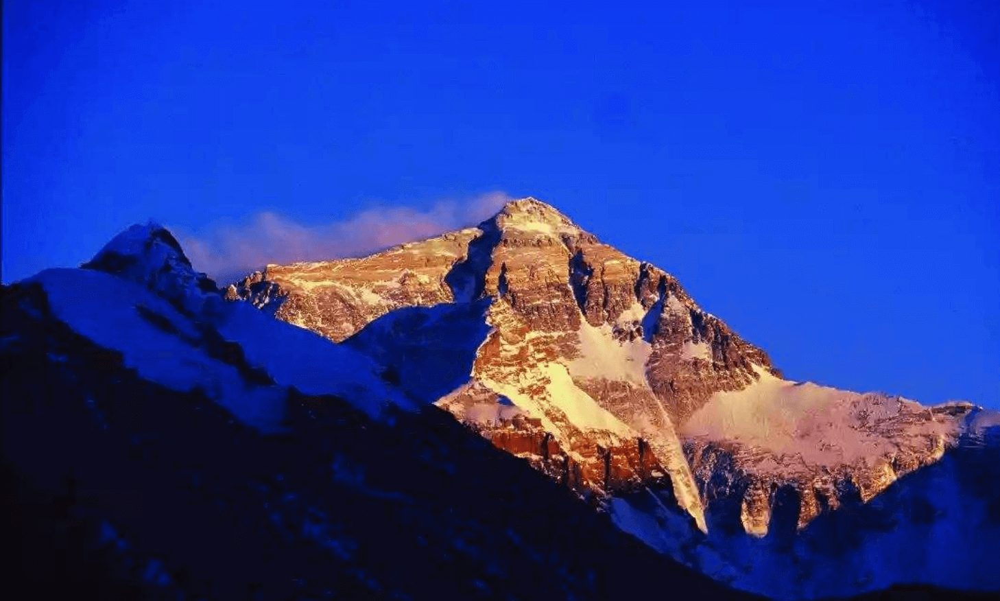 Everest Base Camp
- Peiku Tso
- Sakya
- Shigatse
- Lhasa
- fly to Kathmandu
Days 1–2 — The Lhasa Foundation
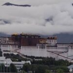
Potala Palace · Jokhang · Sera debate · Local family dinner
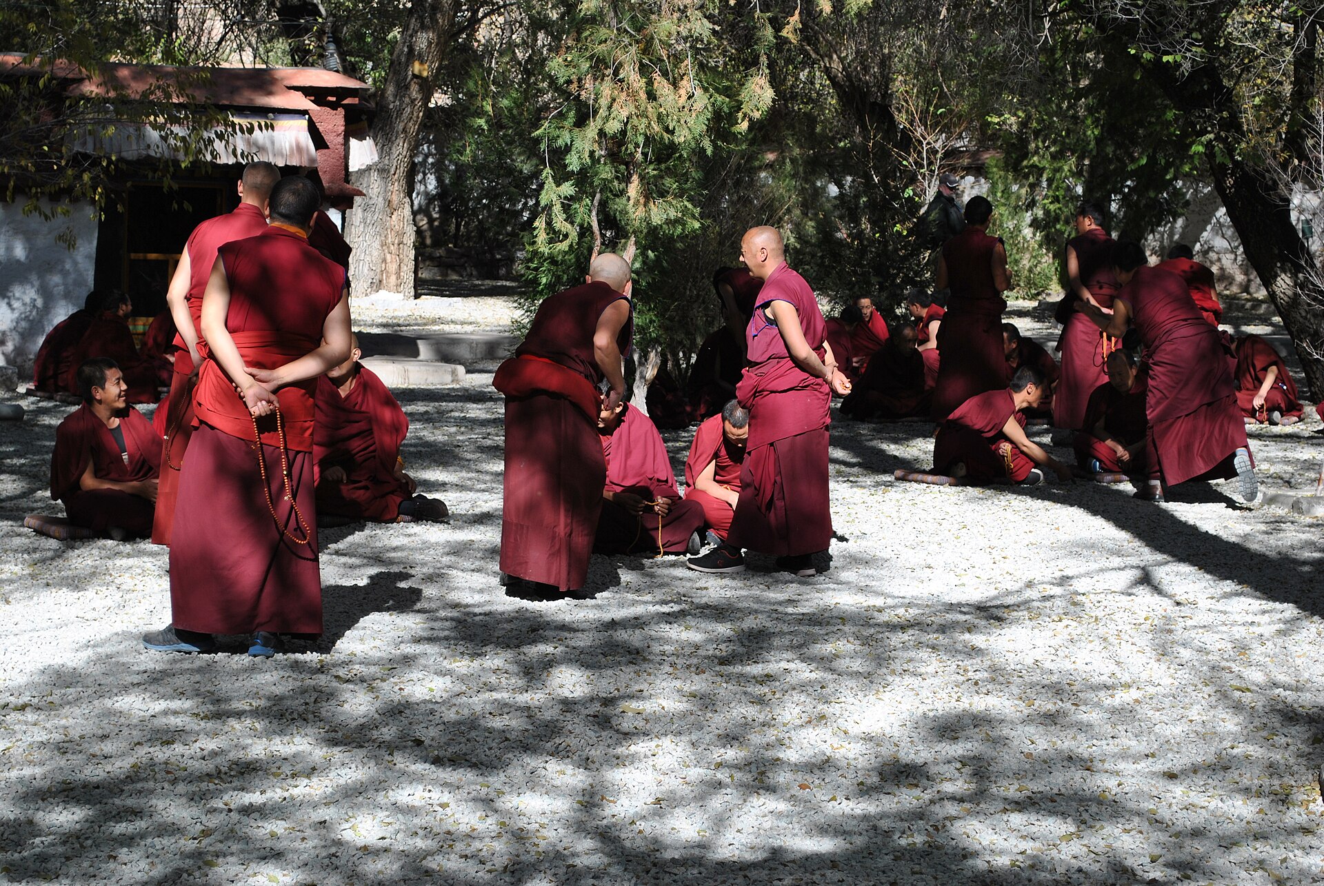
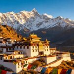
Day 1 — Arrival in Lhasa
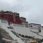
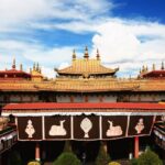
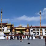
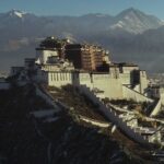
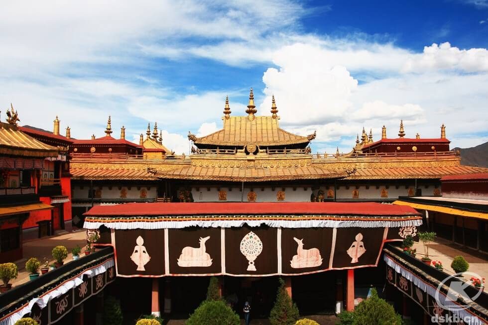
Day 2 — Potala Palace · Jokhang Temple · Barkhor · Local Family Dinner
Potala in the morning, with entry timed by the palace administration; the Jokhang and the Barkhor in the afternoon; dinner with a Tibetan family in the evening. If you want a second full day in the city — Sera’s monk debates, the Tibet Museum, Norbulingka — tell us and we will build the tour at eight days instead.
Days 3–7 — The Road West and the Flight Out
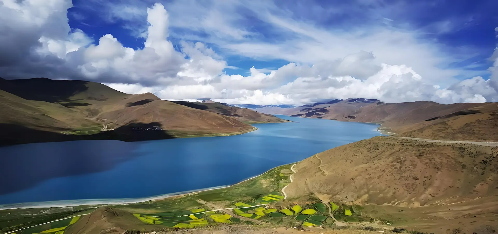
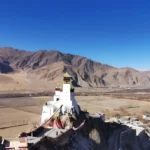
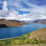
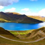
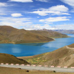
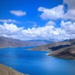
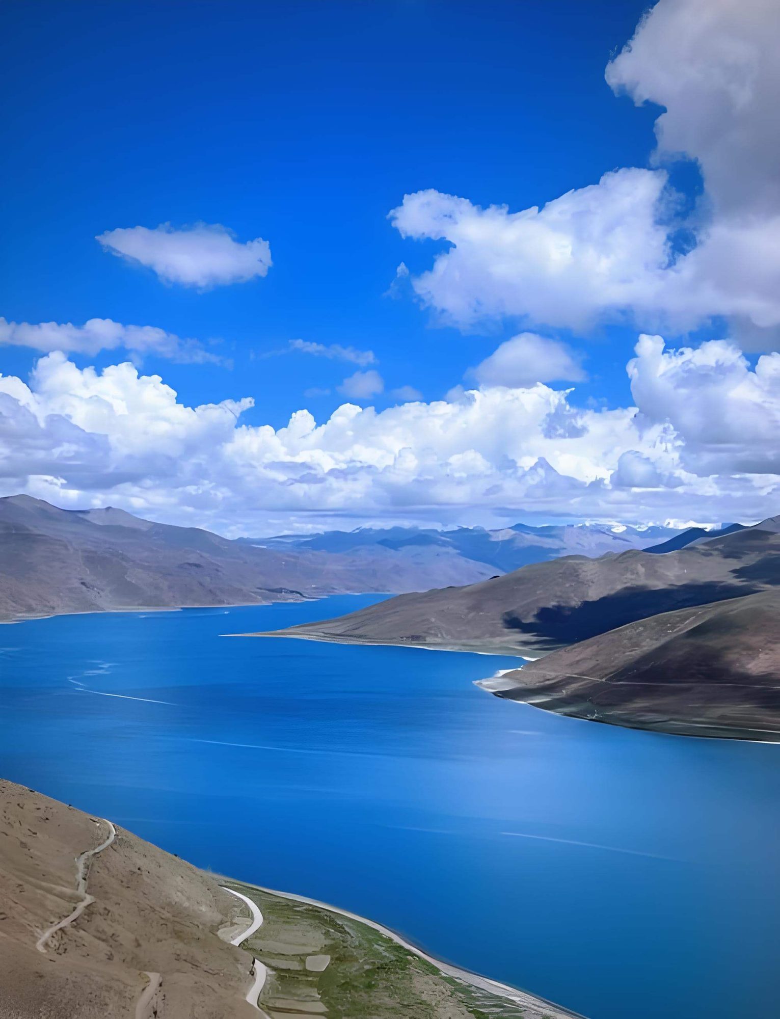
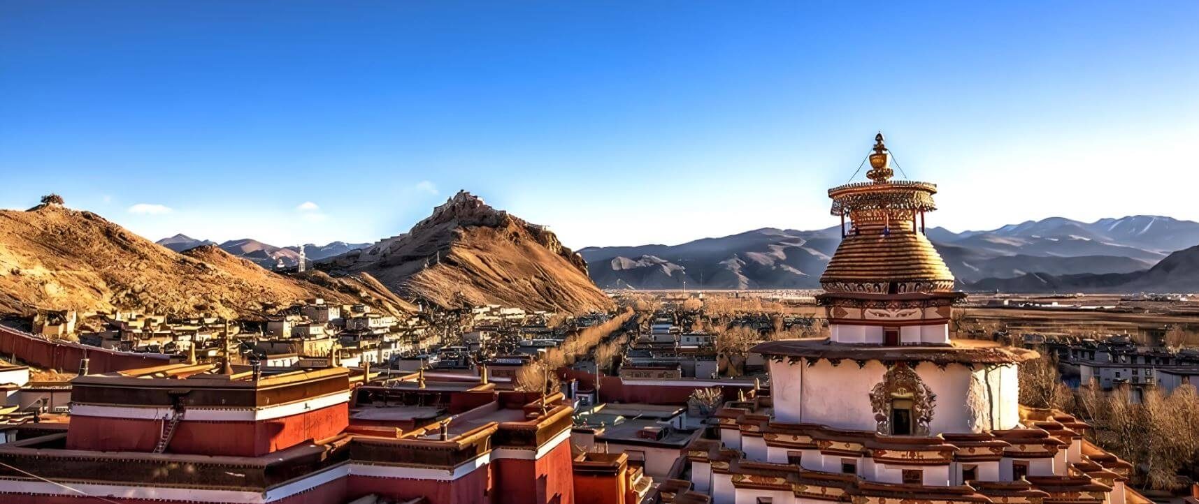
The road south from Lhasa climbs over Kamba La at 4,794 m, and Yamdrok Lake opens below — 72 km of turquoise water encircling the mountains. From Yamdrok the road crosses Karo La at 5,010 m, where a glacier comes within metres of the surface. Gyantse and its Kumbum Stupa — nine storeys, 77 chapels, built in 1427 — occupy the early afternoon before the road runs west through the Nianchu valley to Shigatse. Overnight in Shigatse at 3,836 m.
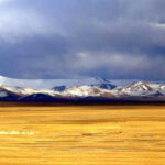
West from Shigatse, the Friendship Highway follows the Yarlung Tsangpo upstream — the river narrowing, the landscape growing drier and more remote with each kilometre. Lhatse is the last substantial town and a good lunch stop. Beyond Lhatse the plateau opens: wide, brown, treeless, the sky enormous. Shelkar / New Tingri at 4,300 m is the gateway for Everest; from here a road turns south and climbs 100 km into the mountains.
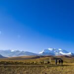
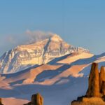
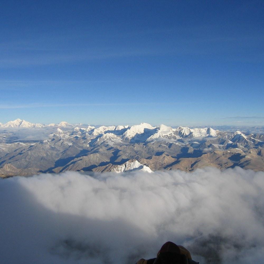
The ascent to Gyawu La (5,198 m) is one of the great drives in Asia. As the road rises through the moraines, the southern Himalayan wall assembles itself on the horizon — and then, from the pass, five of the world’s fourteen 8,000-metre peaks appear simultaneously in a single panoramic frame: Everest (8,848 m) directly ahead, Lhotse (8,516 m) immediately to its right, Makalu (8,485 m) further east, Cho Oyu (8,201 m) to the west, and the broad mass of Shishapangma (8,027 m) further west still. There is no other road on earth from which five 8,000-metre peaks can be seen at once. Stop here for as long as you need.
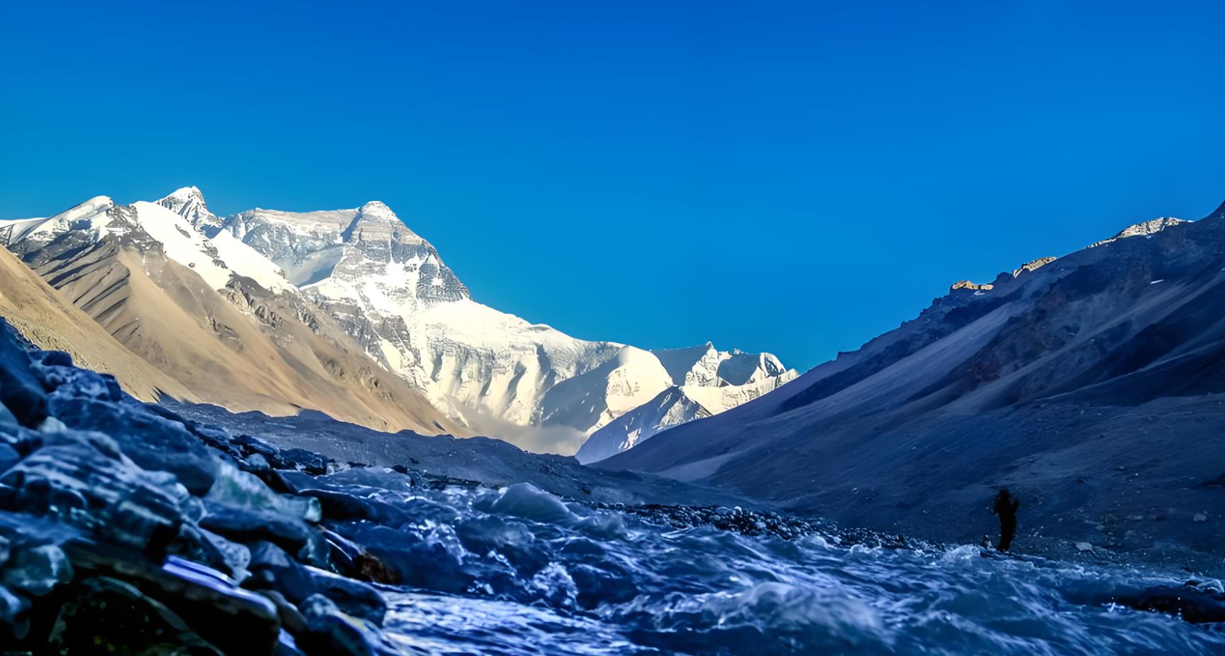
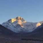
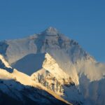
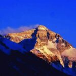
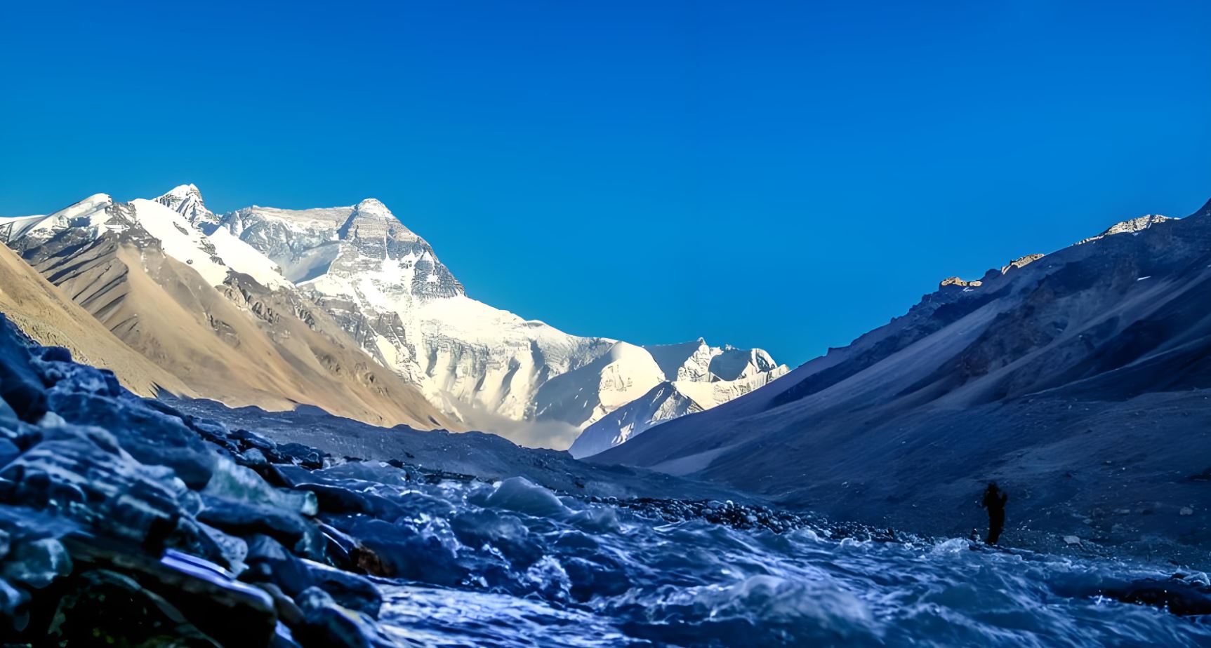
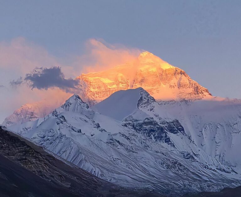
Rongbuk Monastery (5,100 m), founded in 1902, sits directly below the North Face with an unobstructed sight line to the summit. The monks who live here permanently have the most extraordinary address on the planet. Walk out into the courtyard, face south: the summit pyramid of Everest fills the sky above the valley. Overnight at the Rongbuk Monastery guesthouse.
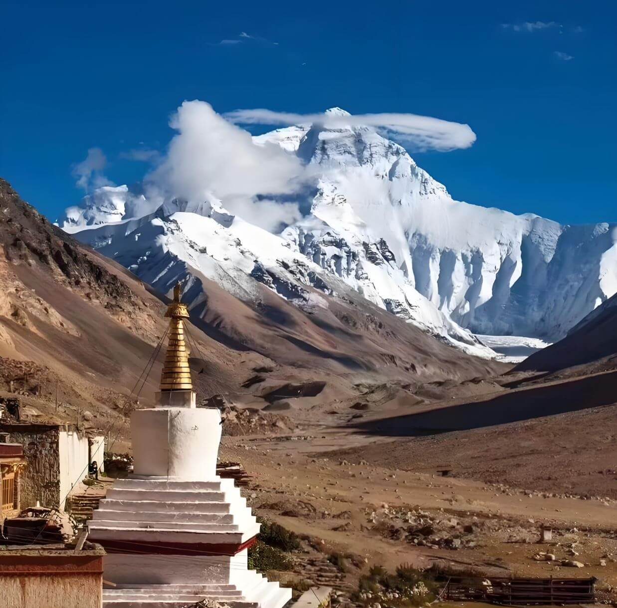
Gyawu La — the five-peak frame
Everest · Lhotse · Makalu · Cho Oyu · Shishapangma — five 8,000-metre peaks simultaneously visible from one mountain pass. Bring your widest lens. This is the highest point of the journey at 5,198 m; walk slowly when you stop.
Day 5 — EBC at Dawn · Peiku Tso · Sakya · Shigatse
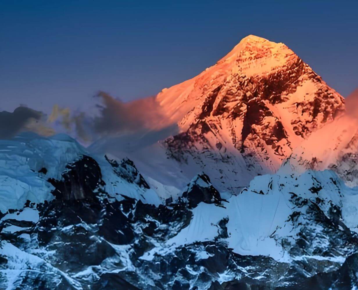
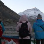
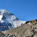
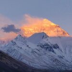
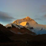
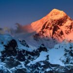
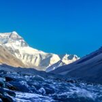
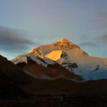
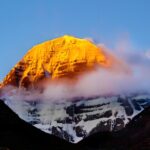
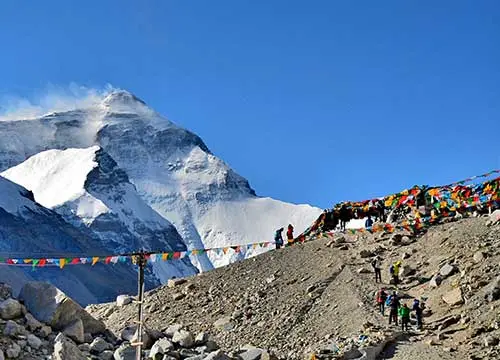
Rise before dawn to walk toward Base Camp. The North Face in the minutes before sunrise moves through its colour sequence — deep purple, rose, gold, blinding white — in about twenty minutes. Everest Base Camp (5,200 m) is reached by a further 8 km on foot or by shuttle vehicle. The flat moraine at the foot of the Rongbuk Glacier, the prayer flags, the silence — the mountain commands everything around it. Morning at the highest and most remote camp of this journey.
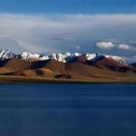
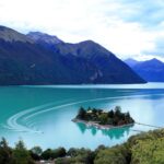
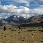
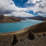
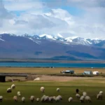
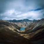
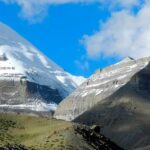
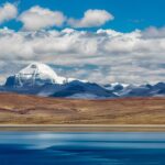
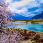
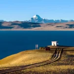
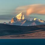
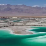
After breakfast the road turns west rather than south. Peiku Tso (4,590 m) lies about two hours from Rongbuk, on the open plateau below the Gyirong turnoff: a wide sheet of cold blue water with Shishapangma (8,027 m) and its whole range rising from the far shore. On a still morning the reflection is sharper than the mountain. Almost no standard Tibet itinerary comes this far.
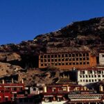
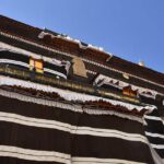
This is as far towards Nepal as the tour goes. From the lake the road turns back east — not the way it came, but through Dingjie and past Sakya Monastery, whose walls are painted in the grey, white and red stripes of the Sakya school, to Shigatse for the night. It is a long day: about nine hours in the vehicle with stops, and the light on the plateau in the late afternoon is worth the distance.
Day 6 — Shigatse to Lhasa, the Easy Day
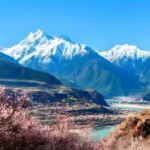
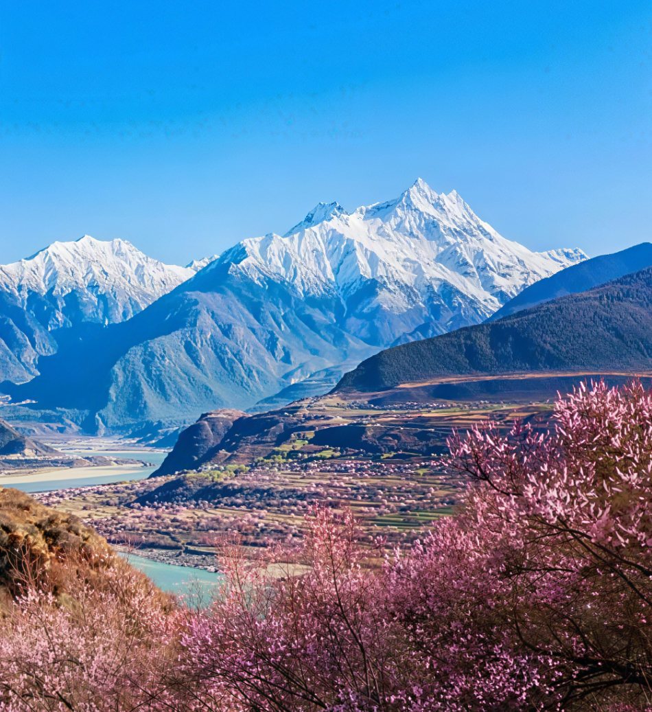
The road east follows the Yarlung Tsangpo — the river that becomes the Brahmaputra in India — through Nyemo and Renbu, a slow green valley of barley fields and whitewashed farms quite unlike the plateau behind you. Lhasa in the early afternoon. The evening is yours: the Barkhor, a tea house, or a last dinner in the old town.
Day 7 — The Flight to Kathmandu
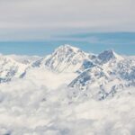
Gonggar Airport is an hour from the city and the flight leaves in the morning. It crosses the Himalaya in a little over an hour; on a clear day the highest peaks in the world sit below the wing. Services end at Kathmandu. We book the flight for you, and our Nepal partner can meet you on arrival and take over from there.
Two Tibets along the Friendship Highway
Eastern section — Farming valleys
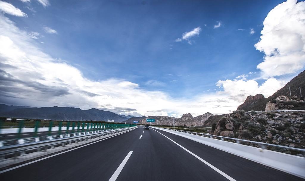
Kyichu valley, Nianchu valley around Gyantse. Barley terraces, willow-lined irrigation channels, whitewashed farms. The agricultural heartland of central Tibet — producing barley and wheat for fourteen centuries.
Western section — Pastoral plateau
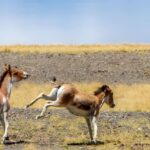
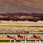
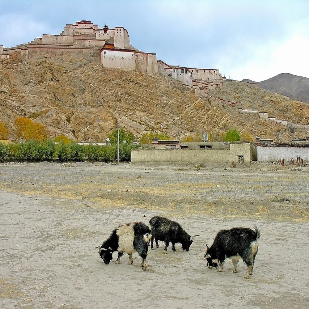
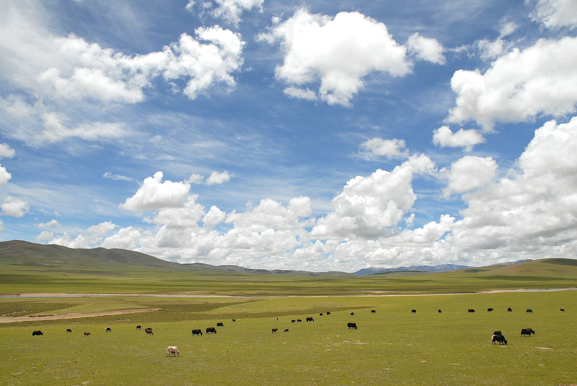
Beyond Lhatse, the valley farming gives way to open plateau and nomadic pastoralism. Yak herds on brown grassland, black tents, the wind. A different world from the river-valley east — older, wilder, less visited.
Plan this journey
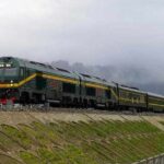
Private guide and vehicle. Lhasa–Kathmandu flight booked for you. All Tibet permits included.
Route at a glance
Lhasa
3,650 m · Cultural foundation
Yamdrok · Karo La · Gyantse · Shigatse
4,794 m → 5,010 m → 3,836 m
Gyawu La · Five peaks · Rongbuk overnight
5,198 m pass · 5,100 m monastery
EBC dawn · Peiku Tso · Sakya
5,200 m → 4,590 m → 3,836 m
Lhasa → Kathmandu
Morning flight over the Himalaya
Permits
TTB Permit — mandatory. 15 working days.
Alien’s Travel Permit — for all stops west of Lhasa.
EBC Restricted Area Permit — required for Rongbuk and Base Camp. Included.
All permits handled and included.
Photos from this route
Questions travellers ask
How many 8,000-metre peaks are visible on this route?
Five, if conditions permit: Cho Oyu (8,201 m) from the Tingri plateau, Everest (8,848 m) and Lhotse (8,516 m) from Rongbuk and Base Camp, Makalu (8,485 m) from the EBC area to the southeast, and Shishapangma (8,027 m) from Peiku Tso on the road west of Tingri. No other single road in the world passes this number of 8,000-metre peaks.
How do we get from Tibet to Nepal?
By air, at present. The tour ends with a morning flight from Lhasa to Kathmandu — a little over an hour over the Himalaya, booked by us as part of the tour. Our Nepal partner can meet you at Tribhuvan International Airport and take over from there. The Gyirong land border is closed with no date for rebuilding, so no overland exit is involved.
Do we visit Everest Base Camp on this route?
Yes — it is the core of Day 4 and 5, not an optional extra. On Day 4 we cross Gyawu La (5,198 m) for the five-peak panorama, then overnight at Rongbuk Monastery guesthouse (5,100 m). On Day 5 morning we walk to Everest Base Camp (5,200 m) for the sunrise on the North Face, then continue to Peiku Tso and back east to Shigatse.
Is Peiku Tso on the standard tourist map?
It appears on most detailed maps but is not on the classic southern Tibet tourist circuit, which historically ran via Zhangmu rather than Gyirong. The 2015 earthquake and the subsequent reopening of Gyirong as the main border crossing brought Peiku Tso onto the mainstream route. Most travellers who have done this route since 2016 rate the Peiku Tso section as one of its highlights.
Can we do this route in reverse — fly into Kathmandu and out of Lhasa?
Yes. The reverse direction works equally well and is popular with travellers who have more flexibility in their Nepal itinerary. The permit logistics are the same. Ask about it when you inquire.