


Wild Tibet — Into the Changtang
- Duration
- 9 days
- Pace
- Moderate
- Group size
- Private, on your dates
- Best season
- Early spring and autumn (late March–May, September–November)
The trip at a glance
Three lakes, two early-morning wildlife windows and the open northern plateau: a slow nine-day loop north of Lhasa where you stop whenever there are animals, and stop again when the light changes.
This is a private wildlife tour for people who want to watch and photograph the animals of the Changtang: kiang, Tibetan gazelle, yak, cranes and water birds. We run it for your own party only, on your dates, and we do not join photographers into groups, so the vehicle stops when you ask. Wildlife is wild, so we do not promise any animal, and we watch from the road only.
Read the full overview
North, not south
Most Tibet routes go south and west. This one goes north, into the Changtang — the least visited part of Tibet, and the part where large wild animals are still seen in numbers from the road. This is one of our wildlife and bird watching tours, and it is also a true loop: out by Reting and Nagqu, back by Shigatse, never the same road twice. See all our Tibet loop tours.
Prefer a one-way road journey for photographers, ending in Qinghai instead of coming back to Lhasa? See our 10-day Tibet wildlife photography tour from Lhasa to Golmud, which follows the Qinghai–Tibet highway over Tanggula Pass.
Slow travel design
The itinerary reserves morning golden hours specifically for wildlife. No rushing. Stop-and-go photography is the norm, not the exception. The driving distances are long, but the pace is deliberate.
Fully paved — no 4WD
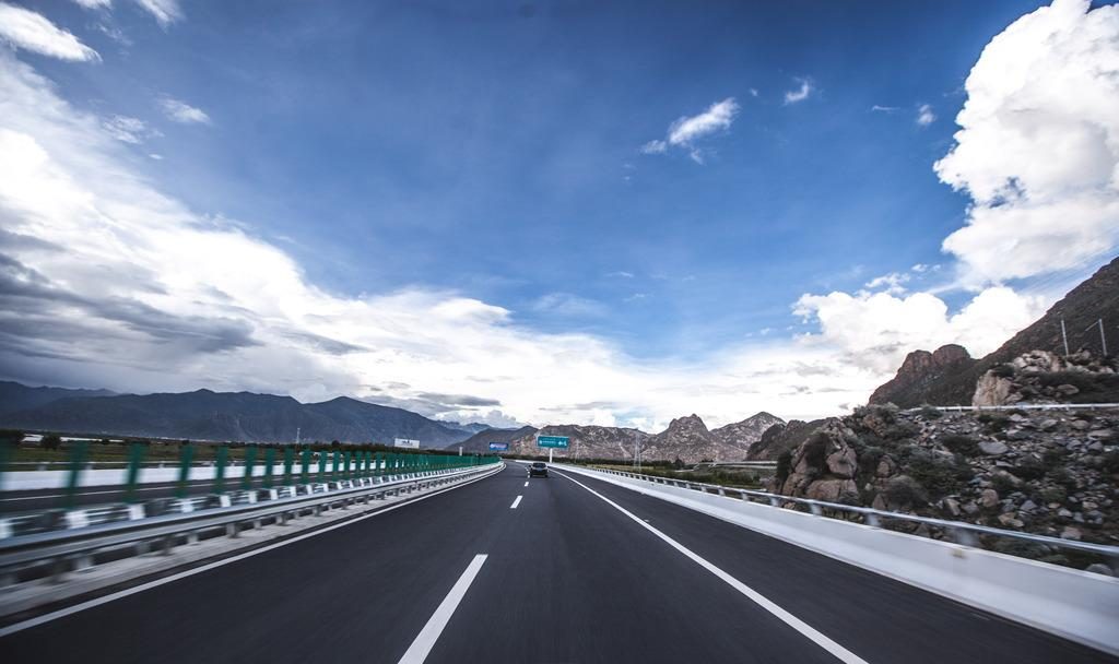
All roads on this route are sealed asphalt, so we use a normal tourist vehicle: no off-road driving, no driving on the grassland and no chasing animals. The route follows the road, and the animals come to you.
When to go: early spring and autumn
This route is at its best in two windows. Late March to May — early spring, before the summer cloud builds — brings clear light, dry roads and animals back out on open grassland. September to November, after the monsoon clears, gives the sharpest air of the year and the best conditions for long-lens work on the lakes.
Summer (June to August) is greener and warmer, but the plateau is under cloud and rain for much of it, and the long views that make this loop are the first thing to go. Winter is possible — the black-necked cranes are at Bamu Tso then — but the Changtang is at its harshest, so in winter we run it only as a separately quoted private trip — see Winter in Tibet.
- Lhasa
- Lhunzhub
- Damxung
 Nagqu
- Peng Tso
- Bamu Tso
 Baingoin
- Siling Co
 Xainza
- Namling
- Shigatse
- Nyemo
- Lhasa
Price and season
The “from” price of US$2,299 per person is the low-season price for two travellers on a private tour, with 3-star hotels in Lhasa and Nagqu and the best local hotel in every other place. Other seasons, and a different number of travellers, are priced for you, so please ask us. Namtso Lake is not in this route, because Peng Tso, Bamu Tso and Siling Co are already on it; if you want to add Namtso, it is an extra cost. Train tickets and flights are not included.
Wildlife you may encounter
Sightings are not guaranteed — wildlife is wild. Days 5 and 6 are the highest-probability days.
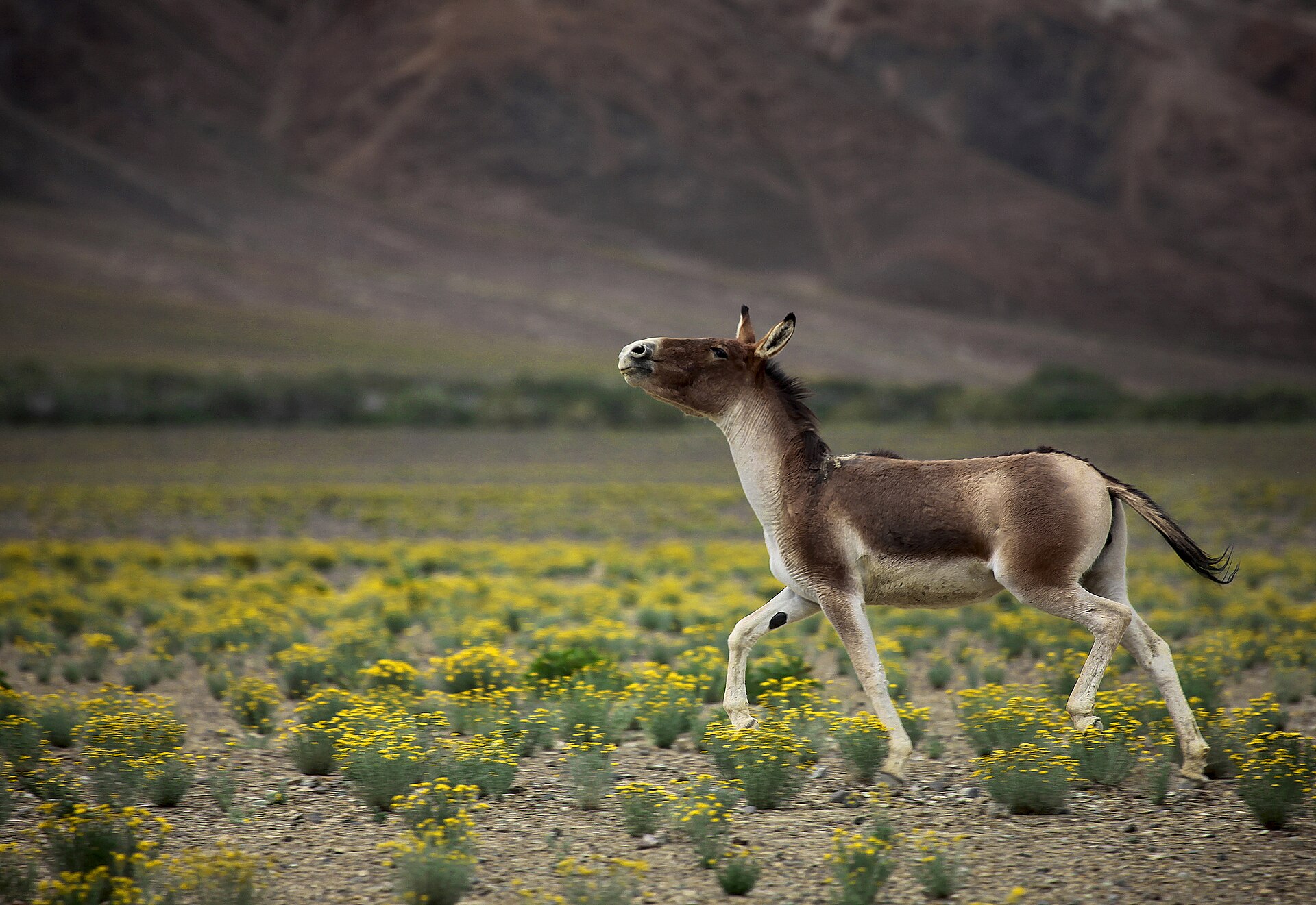
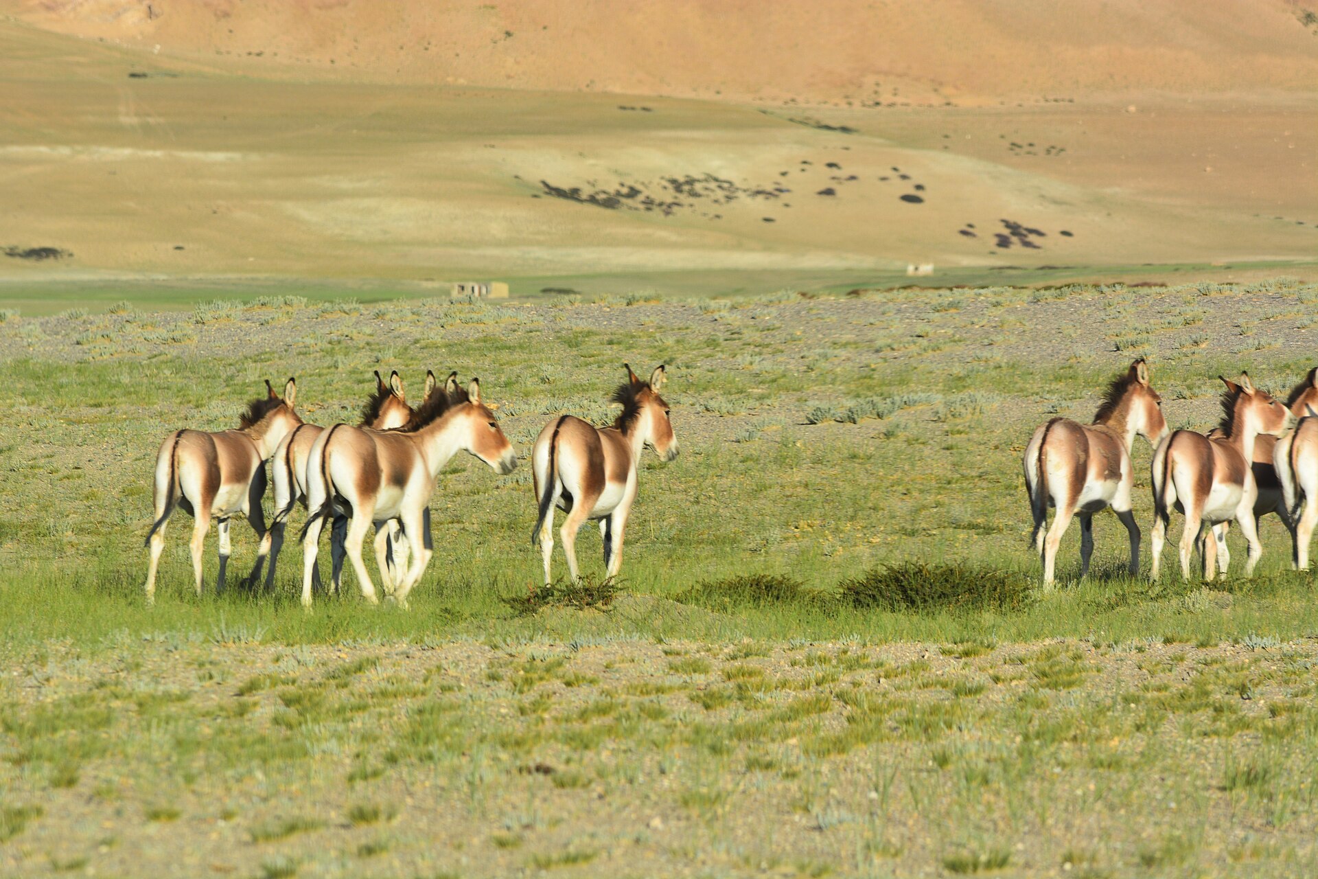
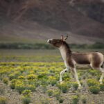
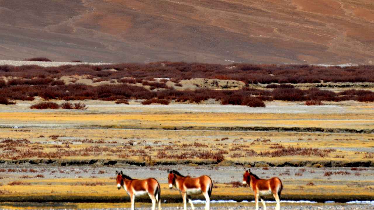
Tibetan Wild Ass (Kiang)
Equus kiang
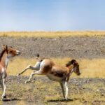
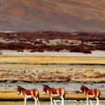
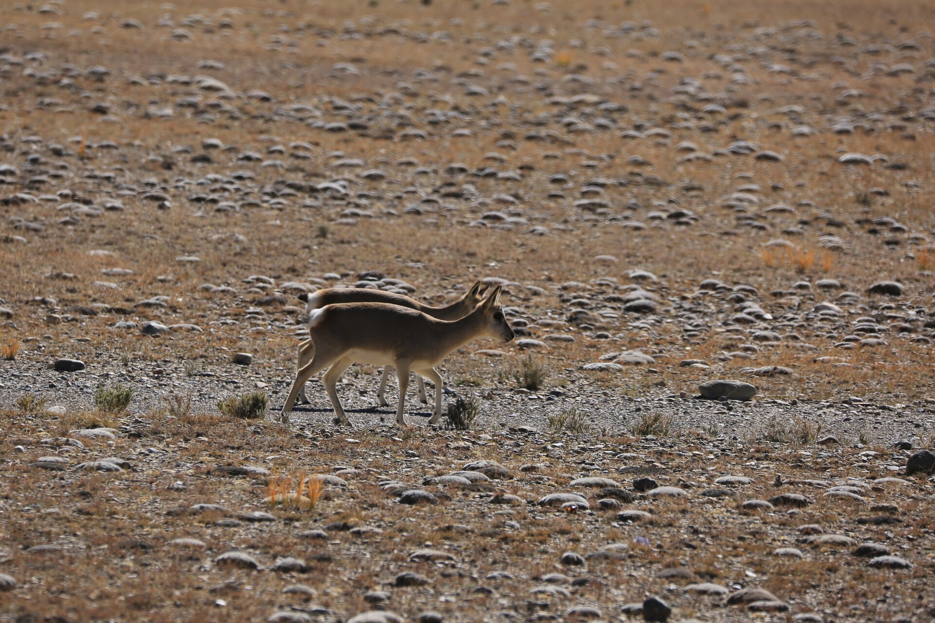
Most visible at Peng Tso — groups of a few to a few dozen are usual; herds of 100 or more in autumn
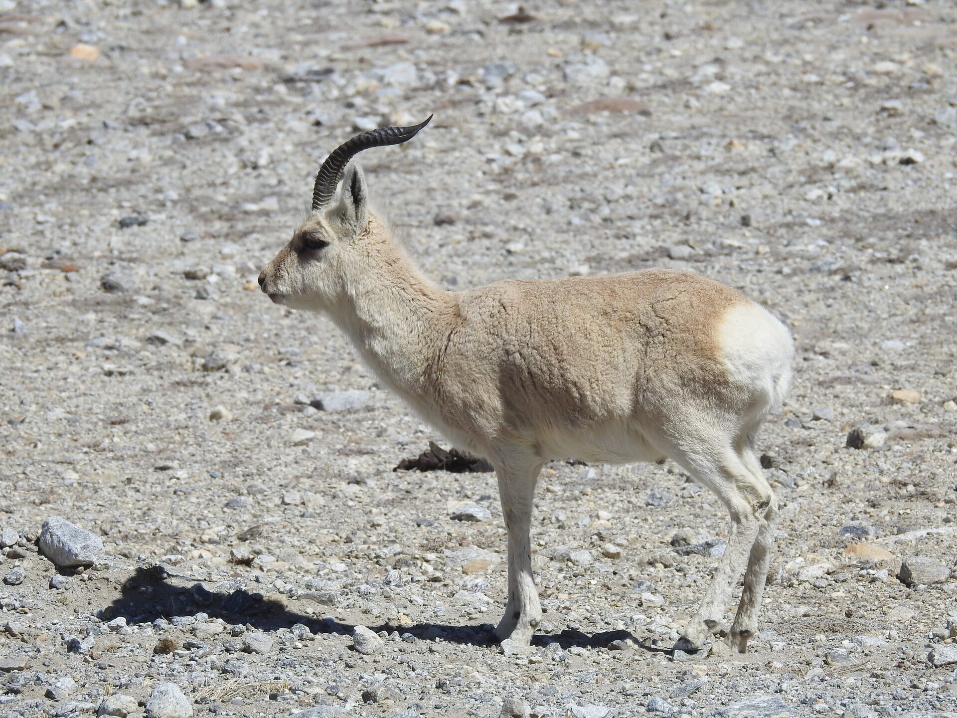
Tibetan Gazelle
Procapra picticaudata
Peng Tso and Bamu Tso · Fast, alert, often in family groups
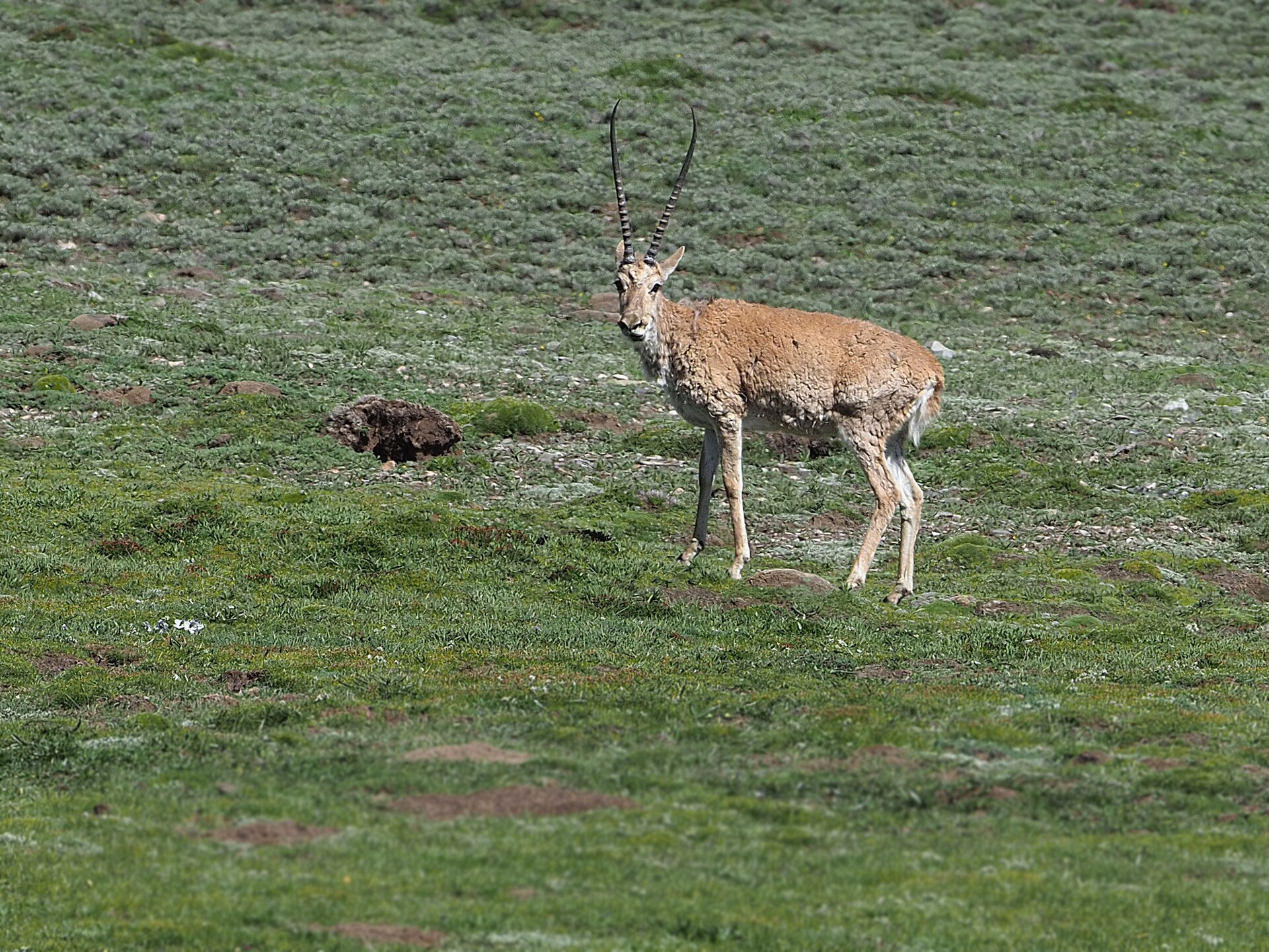
Tibetan Antelope (Chiru)
Pantholops hodgsonii
Core Changtang reserve · Near Threatened (IUCN), numbers recovering since the 1990s · Male has long straight horns
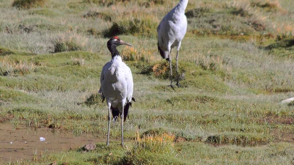
Black-Necked Crane
Grus nigricollis
Bamu Tso wetland · Winters at Lhunzhub (Pengbo valley), November to March · The world’s only alpine crane
Bar-Headed Goose
Anser indicus
Lakes throughout the route · Migrates higher than any other bird
Tibetan Brown Bear
Ursus arctos pruinosus
Rare sighting · Changtang wilderness · Dawn and dusk
Day 1 — Arrive in Lhasa (3,650 m)
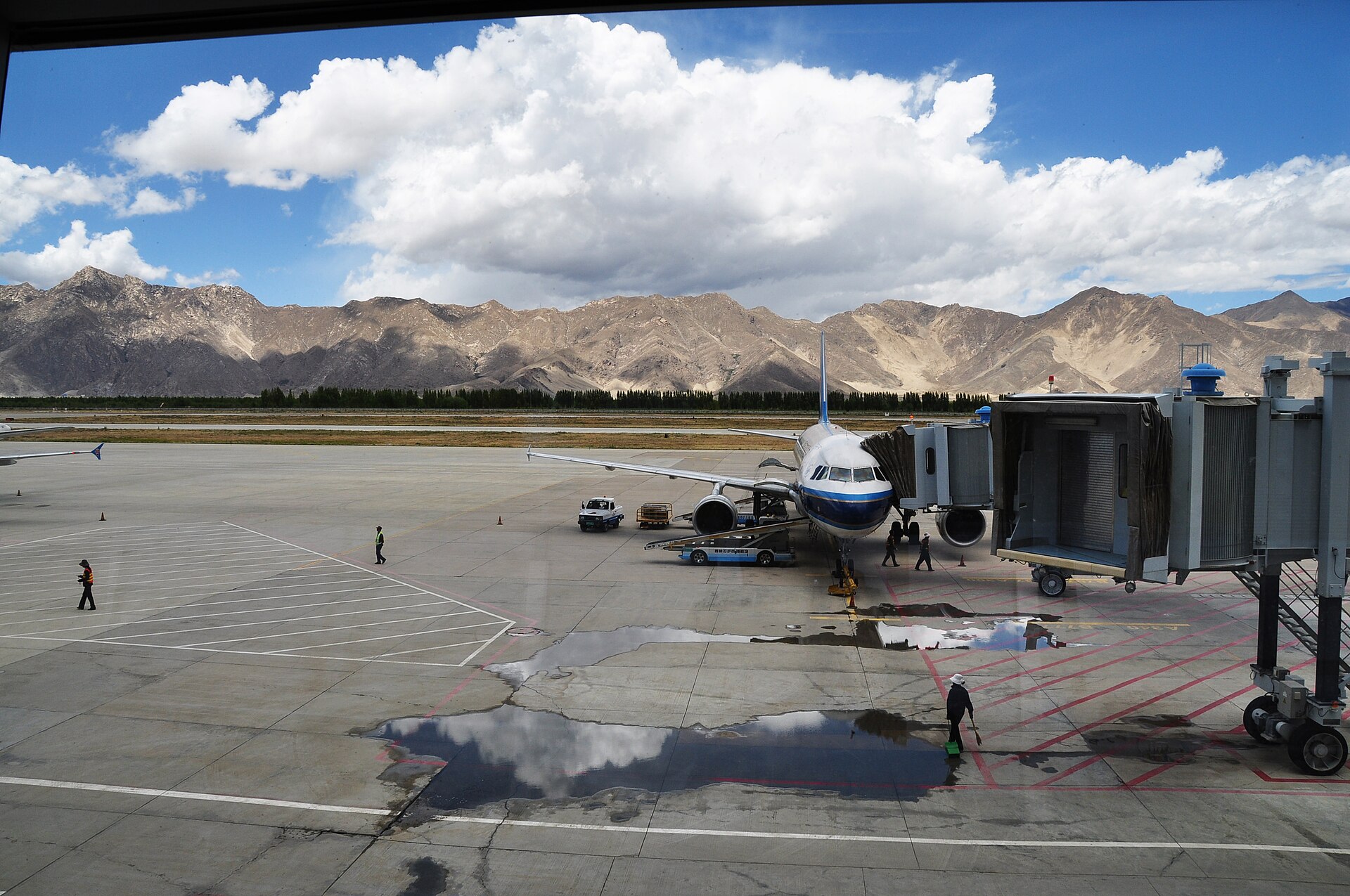
Airport pickup · Rest · Begin altitude adaptation
Lhasa is the beginning and end of this loop. The first day asks nothing from you except to arrive, rest, and not push altitude adaptation. Walk slowly. Drink water. Sleep at whatever hour your body chooses. The city will be here for two more days.
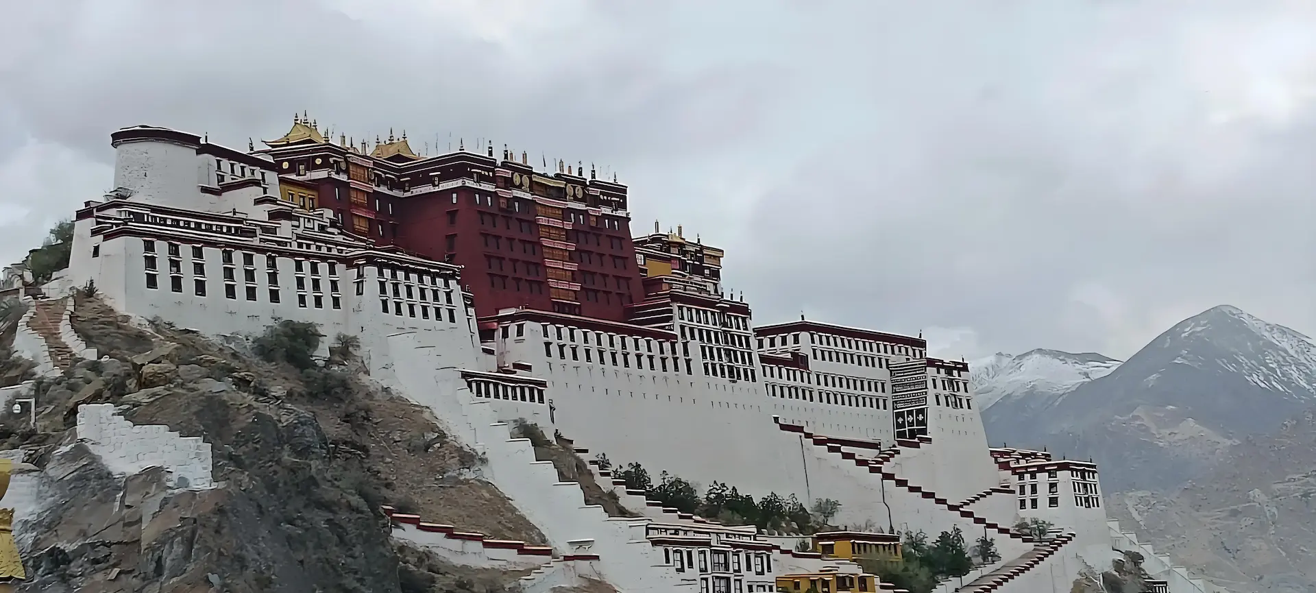
Day 2 — Lhasa: Potala Palace · Jokhang · Barkhor
Breakfast · Core Lhasa cultural programme
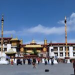
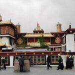
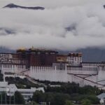
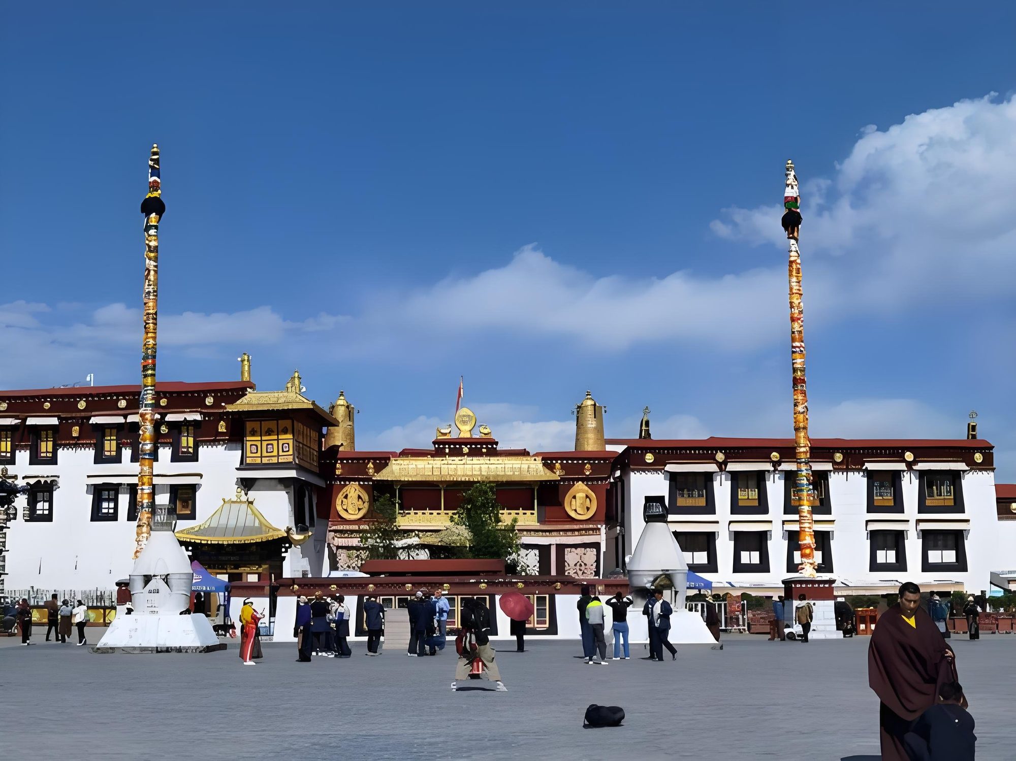
Potala Palace and the Jokhang Temple are the two poles of Lhasa’s religious geography — the political-monastic palace on its red hill and the pilgrimage temple at the city’s heart, the Barkhor circuit running around it. This day provides the cultural context for a journey that spends the next four days in open country.
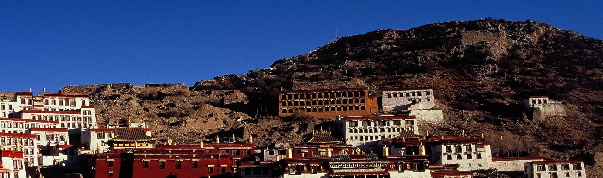
Day 3 — Lhasa: Tibet Museum · Sera Monastery
Breakfast · Second full day in Lhasa · Sera debate in the afternoon
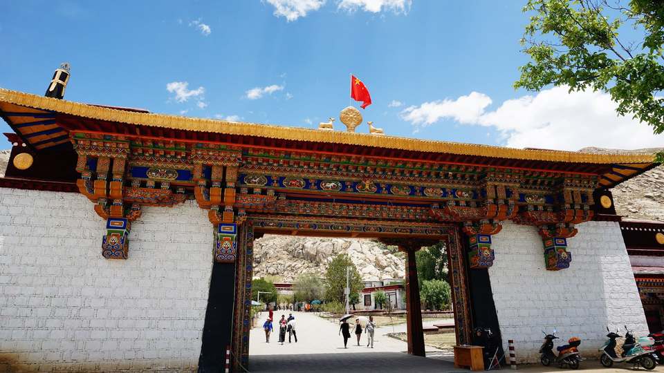
Three nights in Lhasa at 3,650 m are the usual preparation for the climb to 4,510 m at Nagqu on Day 4. The Tibet Museum provides the historical and ecological context for the plateau — the high-altitude fauna you will spend the next week looking for is introduced there, so you know what you are looking at on the field days. The afternoon belongs to Sera Monastery, where the monastic debate still runs: monks arguing points of doctrine in pairs, a tradition centuries old and one of the most memorable things a visitor can see in Tibet.
Day 4 — Lhasa → Lhunzhub → Damxung → Nagqu (4,510 m)
The road north leaves Lhasa through the Kyichu valley and climbs out of it within the hour, up the barren southern face of the Nyainqentanglha range and over the watershed that separates the Lhasa River drainage from the open basin of northern Tibet. Today is the first field day: from the Lhunzhub turn-off onward you are looking, not only travelling.
The Pengbo valley at Lhunzhub, some 65 km north of Lhasa, is one of the most important black-necked crane wintering grounds in Tibet — a wide, shallow river flat of barley stubble and gravel bars, protected as a reserve for the species. In the cold months, roughly November to March, the cranes feed out in the fields in family groups and are usually visible from the roadside. On a March departure they are still there; by late April most have gone north. We stop at two or three of the regular fields and scan.
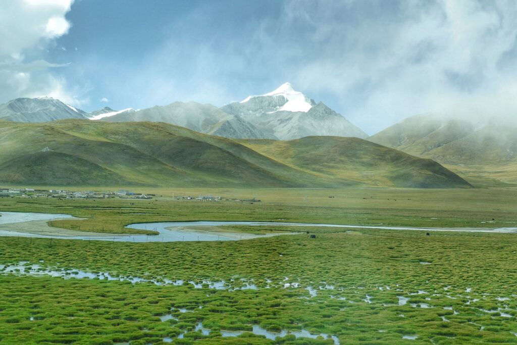
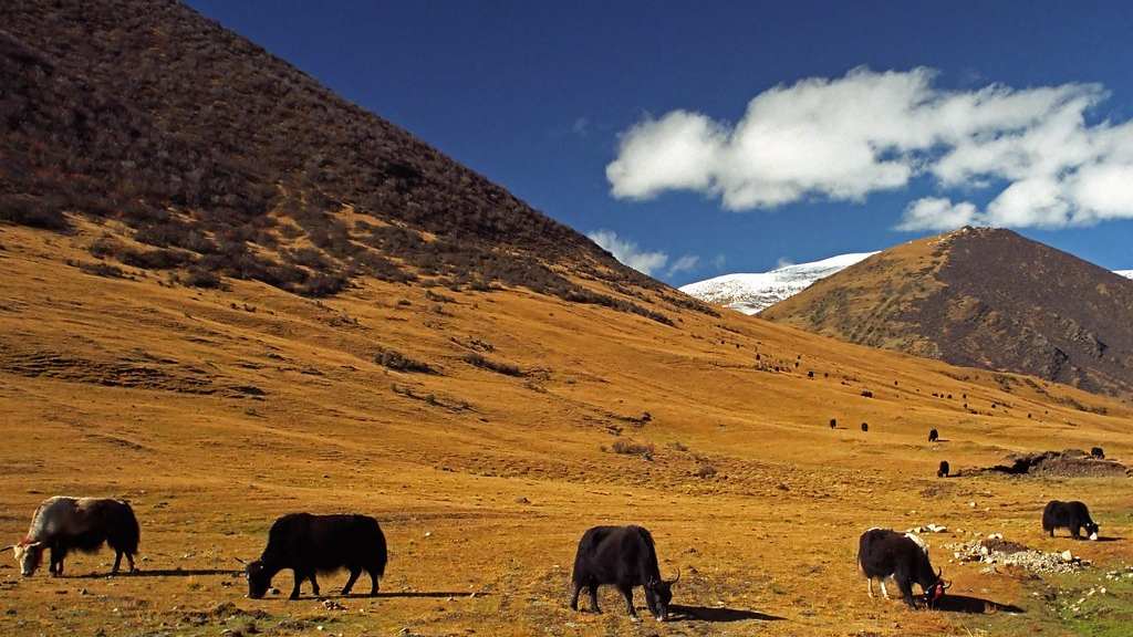
Beyond Lhunzhub the road rejoins the main line at Damxung (4,200 m), where the Damxung grassland opens out — the most accessible example of the alpine meadow that covers much of northern Tibet: wide, treeless, pale green in early summer and brown by autumn, with black nomad tents visible across the valley floor. Kiang and Tibetan gazelle show up in the grassland on the approach to Nagqu.
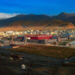
Nagqu at 4,510 m is the administrative capital of northern Tibet and the largest town between Lhasa and the Qinghai border — a supply point and staging base rather than a destination. Overnight here puts you in position for the core day.
Day 5 — Nagqu → Peng Tso → Bamu Tso → Baingoin (4,700 m)
This is the day the tour is built around, and it starts early without exception: the golden observation window is 7:30 to 9:30 AM, when the night cold has lifted enough to put the animals on the move and before the midday wind disturbs the lakes and flattens the grassland light.
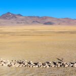
Peng Tso appears within the first two hours — a roadside lake at roughly 4,700 m with high animal density along its western and northern shores. Kiang, the Tibetan wild ass, are almost always present in groups from a handful to a hundred or more. At this distance from the road they are curious rather than afraid: they will face you, hold position, then pivot and run in a flat, fast gallop that looks nothing like a donkey. Tibetan gazelle work the lower grassland, and chiru are possible.
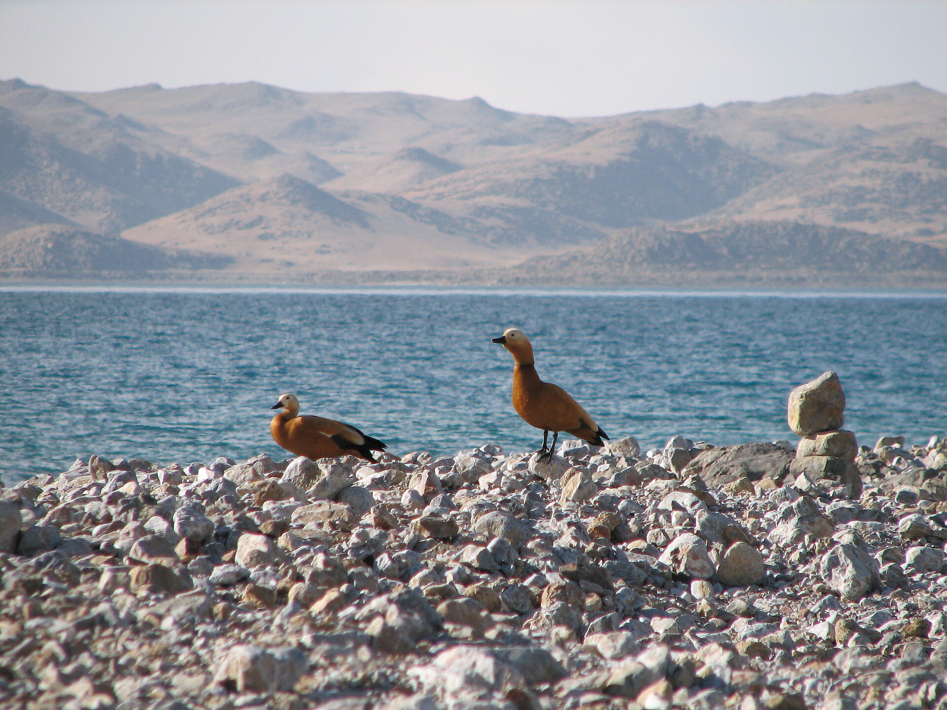
Bamu Tso is a wetland basin rather than a lake in the conventional sense — shallower, the margins indistinct, reed beds at the edge. This is the bird habitat. Black-necked cranes, one of the rarest cranes in the world and protected under CITES Appendix I, use the wetland on migration; bar-headed geese nest here and ruddy shelduck are common. The silence of a wetland at 4,600 m, birds calling across still water and no other sound, is something you remember.
Baingoin sits at 4,700 m on the northern side of the basin. It is a small county town with simple guesthouse accommodation — the trade-off for sleeping inside the wildlife zone rather than driving out of it. Tomorrow’s road starts from the doorstep.
Photography note — Day 5
Bring your longest telephoto lens. Animals are not close. A 400mm+ lens (or equivalent crop sensor) is the minimum for meaningful wildlife shots. A tripod or beanbag is useful from the vehicle window. The golden-hour light on Days 5 and 6 is exceptional for both colour and direction.
Day 6 — Baingoin → Siling Co → Xainza (4,670 m)
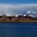
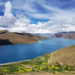
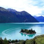
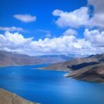
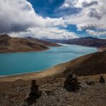
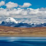
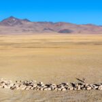
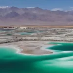
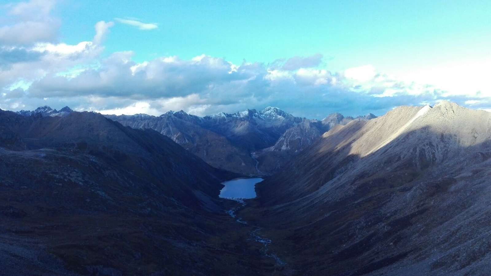
Siling Co is the largest lake in Tibet — 2,391 km² at 4,530 m, the largest lake in Tibet and the second-largest salt lake in China after Qinghai Lake, at the centre of the Changtang Nature Reserve. The road follows its southern shore for most of the morning, and the water changes colour with the light and the depth: pale turquoise in the shallows, deep blue offshore. Water birds work the margins in numbers, and this shoreline is one of the better stretches on the route for chiru.
The second half of the day crosses open Changtang to Xainza. The G562 here is quiet and well surfaced, and the landscape is in full character: open, treeless, the horizon very far away. This afternoon is a second chance: if a species was missed yesterday, or you simply want more time with the ones you saw, it provides that.
Xainza at 4,670 m is the last county town inside the wildlife zone. Overnight here, and the descent begins tomorrow.
Day 7 — Xainza → Namling → Shigatse (3,836 m)
The first hour out of Xainza is still wildlife country — the grassland south of town, before the road begins to drop. Chilung La is the transition point: once you cross it the large concentrations end, and the landscape turns progressively more cultivated as you come down toward the farming zone.
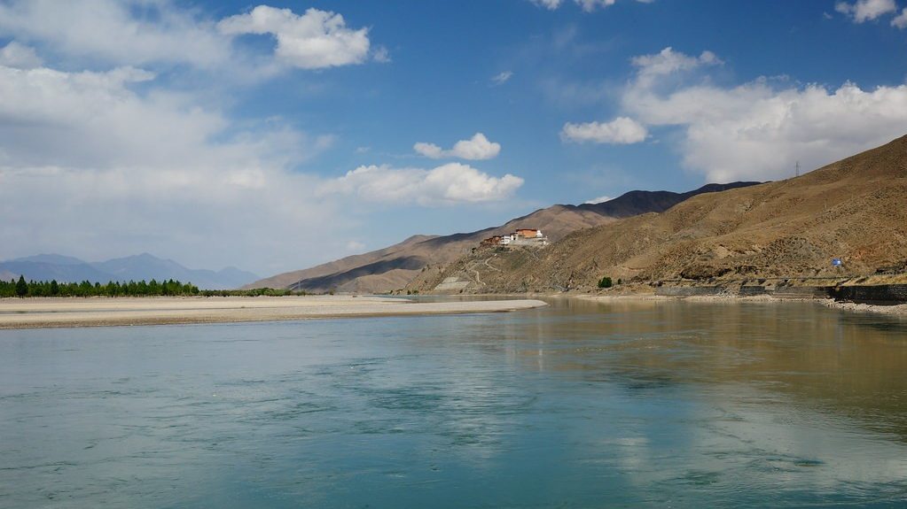
The altitude falls from 4,670 m to 4,002 m at Namling and then to 3,836 m at Shigatse across the afternoon — a descent most travellers feel as relief within the hour. Namling sits at the edge of two Tibets: the wilderness plateau to the north, the farming valley to the south. From there the road follows the Nianchu River down through barley fields, willow channels and white-walled farms.
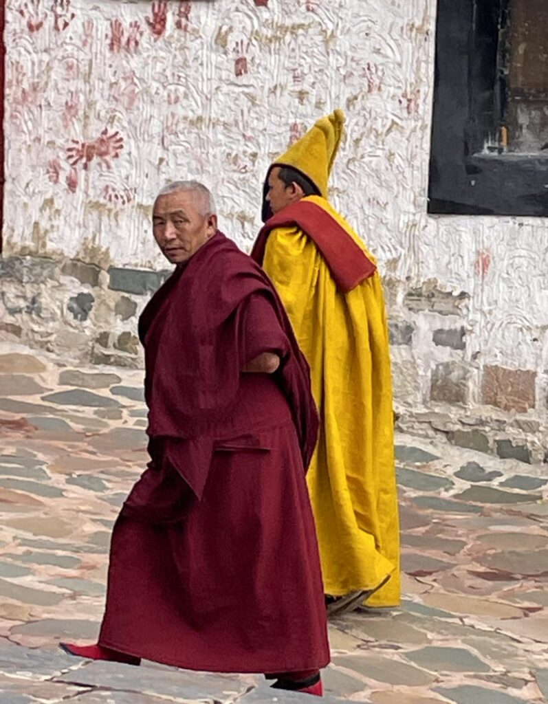
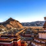
Tashilhunpo Monastery, founded in 1447 and seat of the Panchen Lama, is the cultural anchor of the whole western half of Tibet — several hundred monks in residence, and the world’s largest gilded bronze statue of Maitreya, 26 m high. We go in the late afternoon, when the pilgrims are out and the courtyards are in shadow. Arriving at a living monastery after four days of empty plateau says more about Tibet than any photograph.
Day 8 — Shigatse → Rinbung → Nyemo → Lhasa (3,650 m)
We come back on the old road rather than the new expressway, east along the Yarlung Tsangpo through Rinbung and Nyemo. It is slower, and that is the point: this is the historic trade and pilgrimage line between the two cities, and it runs through villages rather than past them.
Nyemo is the incense country. At Tunba, a side valley off the main road, families still make incense the traditional way — juniper and other aromatic woods ground to a paste between stone water mills driven by the stream, extruded by hand and dried on racks in the sun. The village is associated with Thonmi Sambhota, the seventh-century scholar credited with the Tibetan script, and the craft has carried on there ever since. We walk the mill channel and one or two workshops.
Further east, cut into a cliff above the old road at Nyethang, is the large rock-cut Buddha — a seated figure several metres high, said to date from the seventh century and among the biggest of its kind in Tibet. It is a five-minute stop that most vehicles on the expressway never make.
Lhasa by late afternoon. Overnight in the city rather than out by the airport, so the last evening is not spent in transit.
Day 9 — Lhasa → Departure
Transfer to Gonggar Airport or the Lhasa railway station according to your flight or train. If your departure is late in the day, the morning is free.
Three lakes — three habitats
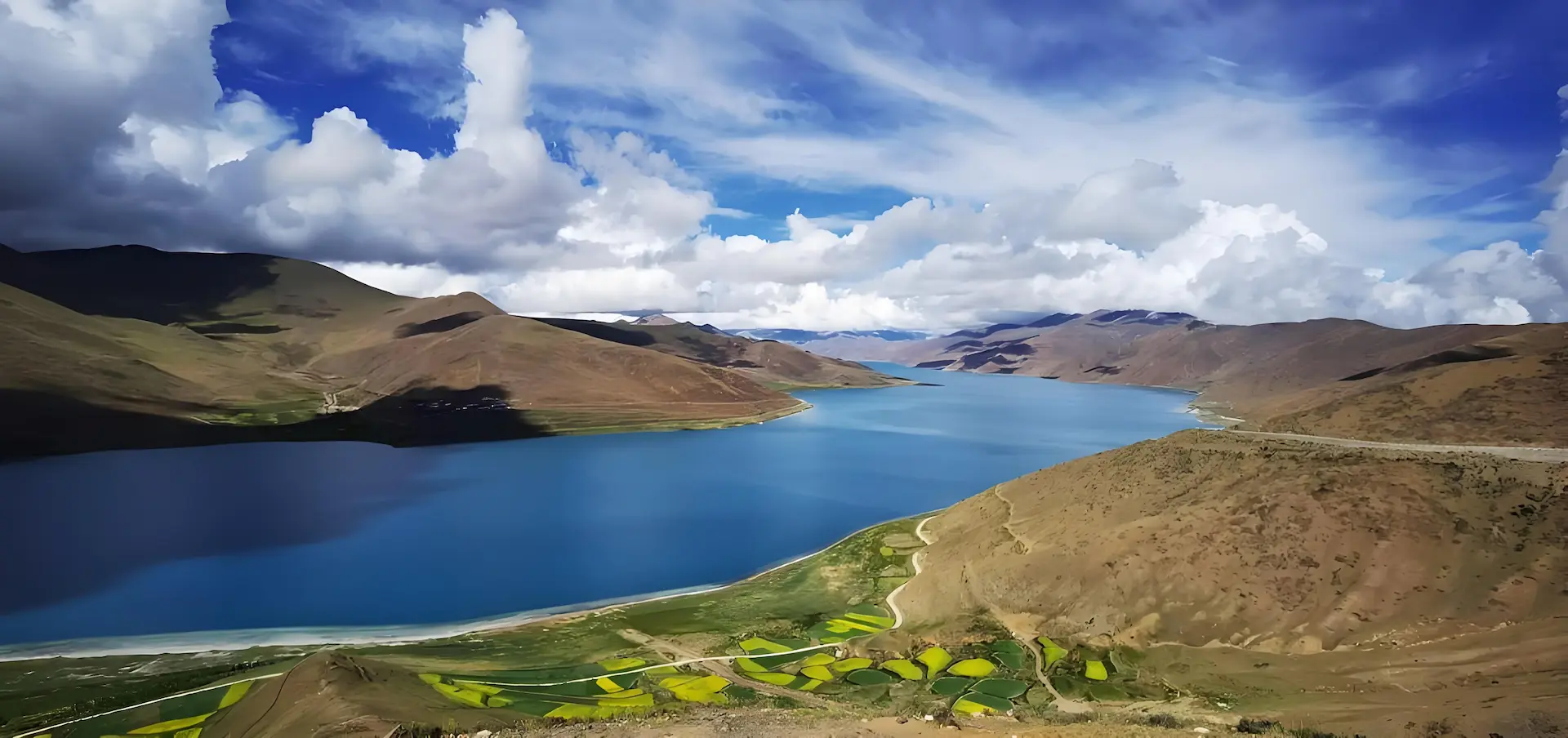
Peng Tso
roadside · narrow
Highest wildlife density on the route. Kiang and gazelle herds frequent the lakeside grassland. Stop-and-go photography.
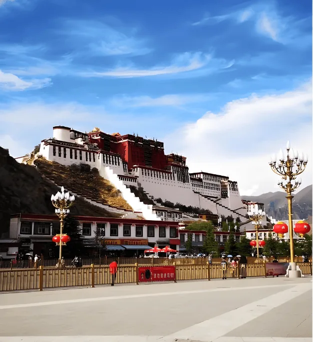
Bamu Tso
wetland basin
Classic wetland habitat. Migratory birds — black-necked crane, bar-headed goose, ruddy shelduck. Still water suitable for long-lens work.
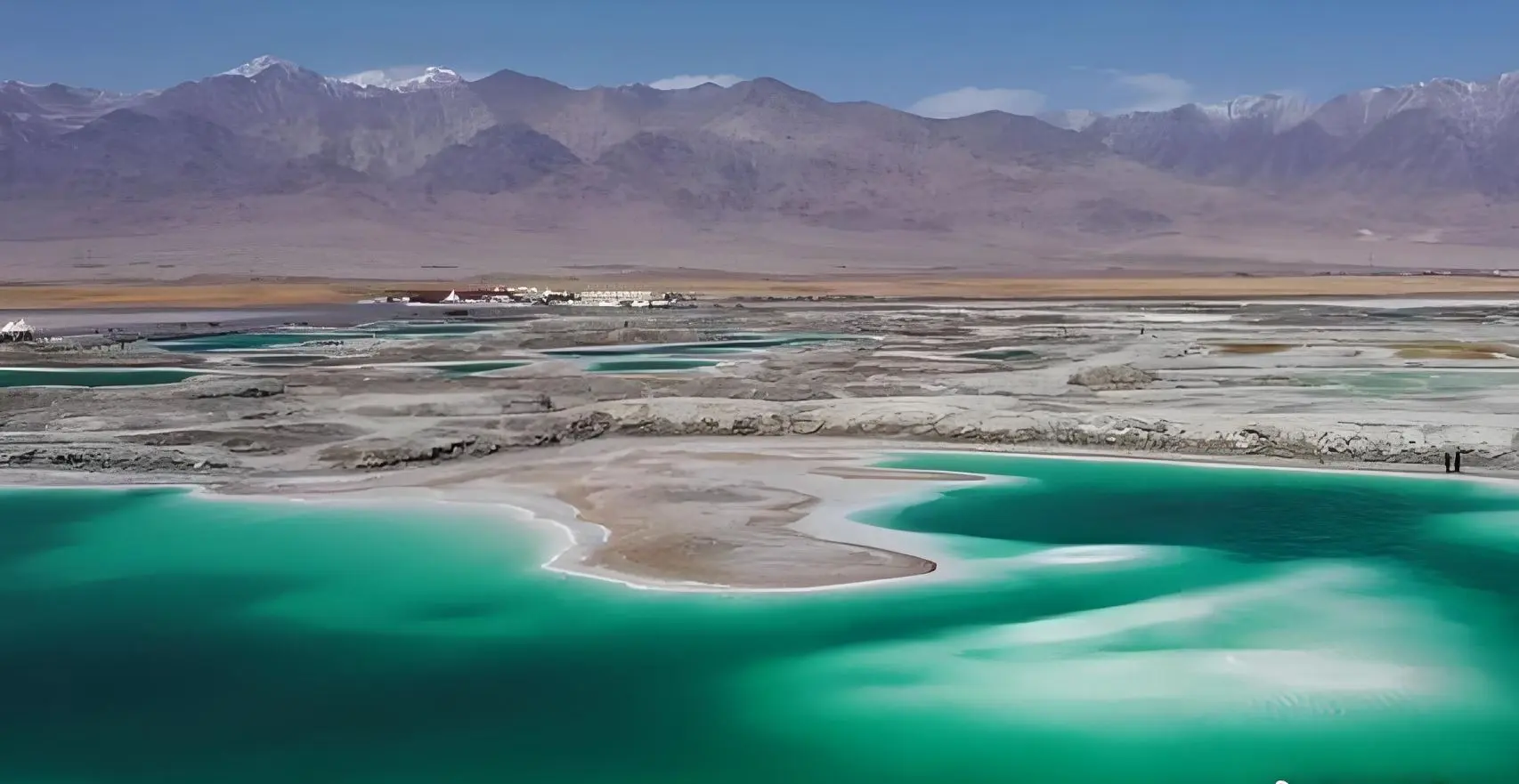
Siling Co (Siling Tso)
2,391 km² — Tibet’s largest
Core of the northern Tibet Nature Reserve. The largest lake in Tibet, and the second-largest salt lake in China after Qinghai Lake. Long southern shore with diverse water bird colonies — the longest single shoreline stretch of Day 6.
Join the wildlife loop
Private guide and vehicle. All northern Tibet permits included. Reply within 12 hours.
Wildlife golden hours
Day 5 — depart 7:00 AM; window 7:30–9:30 AM: kiang herds at Peng Tso, then the Bamu Tso wetland.
Day 6 — depart 7:30 AM; window 8:00–10:00 AM: the south shore of Siling Co.
Permits
Tibet Travel Permit — about 15 days to issue, sometimes up to 20.
Alien’s Travel Permit — for Nagqu and Shigatse.
Changtang Nature Reserve Permit — for Siling Co area. Included.
All permits handled and included.
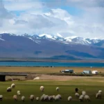
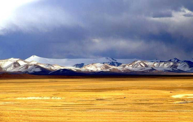
Photos from this route
Want another 9-day choice?
See all 12 tours of 9 days →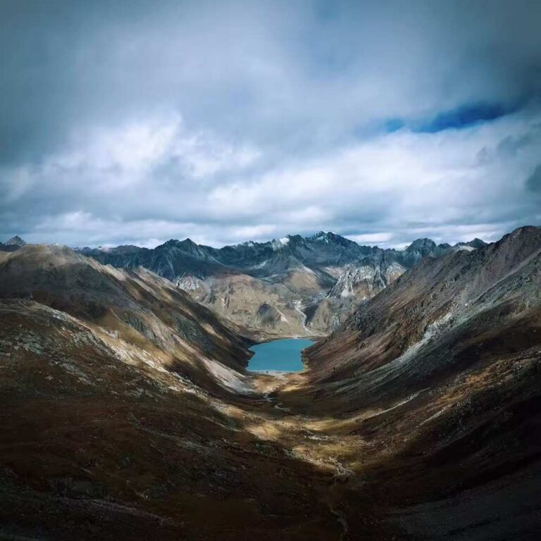

Questions travellers ask
Do we need a 4WD for this tour?
No. All roads on this route are fully paved asphalt — the G6 from Lhasa to Nagqu and the G562 through the Changtang. Regular sedans, MPVs and tourist minibuses are fully adequate. We do not drive off-road, step on the grassland, or approach wildlife in any way that stresses them. The tour uses standard road vehicles.
When is the best time of year for wildlife on this route?
Early spring and autumn: late March to May, before the summer cloud builds, and September to November, after it clears. In both windows the light is sharp, the roads are dry, and the animals are out on open grassland rather than sheltering. Summer (June to August) is green and warm but often under cloud, which costs you the long views; winter is possible for the black-necked cranes at Bamu Tso, but we run it only as a separately quoted winter departure.
Is there a photography guide on this tour?
Your guide is experienced in wildlife spotting and knows the lake access points with the best animal frequency. We do not provide a dedicated photography guide as standard, but if you are a serious wildlife photographer and want a guide with specific bird or mammal expertise, let us know when you inquire — we can arrange this.
How high is the highest point on this route?
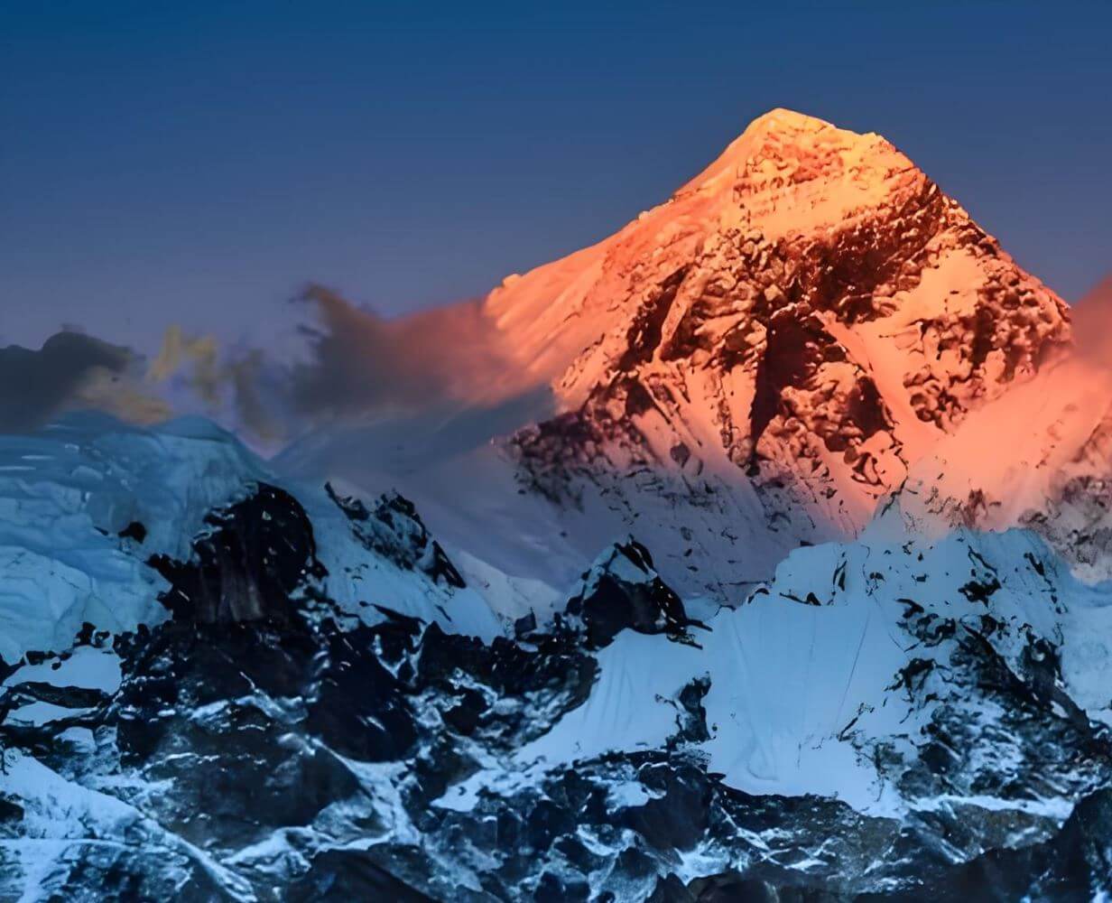
Baingoin at about 4,700 m is the highest overnight, and Peng Tso at roughly 4,700 m is reached briefly on Day 5 without stopping the night. Siling Co, crossed on Day 6, sits at 4,530 m. For reference, the highest point on the Everest tour is 5,200 m; this wildlife route stays significantly lower, which reduces altitude risk while keeping the plateau character of the landscape intact.
Is Nagqu comfortable to stay overnight?
Nagqu is a functional city at 4,510 m with adequate hotels and restaurants. It is not a destination in itself, but it is a comfortable enough staging point. The main challenge is the altitude — 4,510 m is high by any standard. Most travellers who have spent three nights in Lhasa manage it well. Walk slowly, eat lightly, sleep as your body dictates.