



Tibet Map & Regions
An overview of Tibet’s seven prefectures, major destinations and key tourist routes
Understanding Tibet’s Geography
Tibet — officially the Tibet Autonomous Region (TAR) of China — covers over 1.2 million square kilometres at an average altitude of 4,500 metres. It is divided into seven prefectures, each with its own distinct landscape, culture and attractions. Understanding Tibet’s geography is the first step to planning a meaningful journey.
Key Facts About Tibet
Total Area
1.2 million km²
Roughly the size of Western Europe
Average Elevation
4,500m
Roof of the World
Capital
Lhasa
Altitude 3,650m above sea level
Population
~3.6 million
One of the least densely populated regions on earth
Highest Point
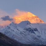
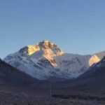
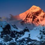
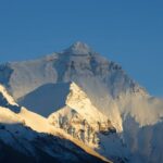
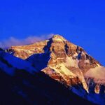
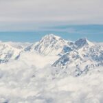
Mt. Everest — 8,849m
On the border with Nepal
Major River
Yarlung Tsangpo
Becomes the Brahmaputra in India
Borders
China, India, Nepal, Bhutan, Myanmar
Strategic location on the Asian plateau
Climate
High-altitude semi-arid
Intense sun, cold nights, low humidity
The Seven Prefectures of Tibet
Each region offers a completely different Tibet experience — from the spiritual centre of Lhasa to the remote wilderness of Ngari.
Lhasa
Avg altitude: 3,650m
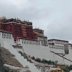
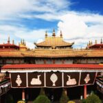
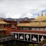
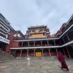
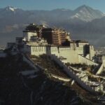
The spiritual and political heart of Tibet. Home to the Potala Palace, Jokhang Temple and the famous Barkhor Street pilgrimage circuit. Most tours start here.
Shigatse
Avg altitude: 3,836m
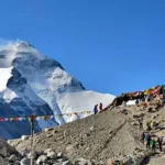
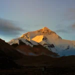
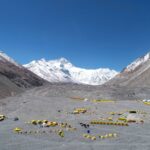
Tibet’s second largest city and seat of the Panchen Lama. The gateway to Everest Base Camp and the Friendship Highway to Nepal.
Nyingchi
Avg altitude: 2,900m
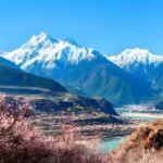
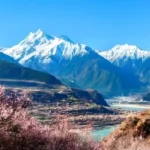
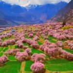
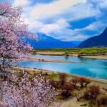
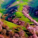
The ‘Jiangnan of Tibet’ — at lower altitude, Nyingchi has the most varied landscape, with alpine forests, the Yarlung Tsangpo Grand Canyon and spectacular spring blossom.
Shannan (Lhoka)
Avg altitude: 3,700m
The birthplace of Tibetan civilisation. Shannan contains Tibet’s oldest monastery (Samye), its first palace and the sacred Yarlung Valley.
Nagchu
Avg altitude: 4,500m
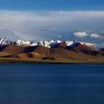
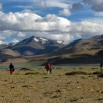
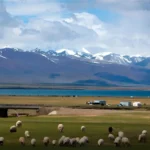
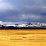
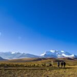
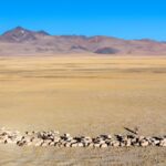
A vast pastoral region on the Northern Plateau (Changthang). Gateway to Namtso Lake — one of Tibet’s most sacred and beautiful high-altitude lakes.
Ngari (Western Tibet)
Avg altitude: 4,500m
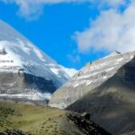
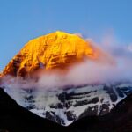
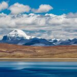
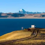
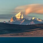
The most remote and sacred region of Tibet. Home to Mt. Kailash — the holiest mountain in Asia — and Lake Manasarovar. Requires special military permits.
Chamdo (Qamdo)
Avg altitude: 3,240m
Eastern Tibet’s largest city, at the crossroads of the ancient Tea-Horse Road. A growing destination for travellers entering Tibet overland from Yunnan or Sichuan.
Major Tourist Routes
All routes require a Tibet Travel Permit and a licensed guide. Routes are driven in private 4WD vehicles — independent overland travel is not permitted for foreign visitors.
Lhasa City
Potala → Jokhang → Barkhor → Drepung → Sera → Norbulingka
Central Tibet Circuit
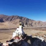
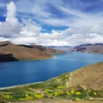
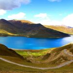
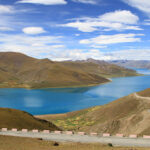
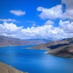
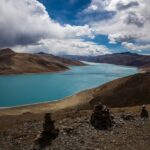
Lhasa → Kamba La Pass → Yamdrok Lake → Karola Glacier → Gyantse → Shigatse
Lhasa to EBC
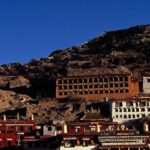
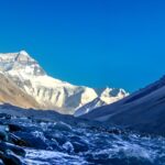
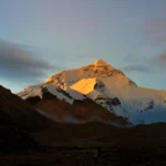
Lhasa → Gyantse → Shigatse → Rongbuk Monastery → Everest Base Camp (5,200m)
Friendship Highway (Nepal)
Lhasa → EBC → Gyirong Border → Nepal. The classic route.
Lhasa + Namtso Lake
Lhasa → Damxung → Namtso Lake (4,718m) → Lhasa. Magnificent sacred lake.
Nyingchi Spring Tour
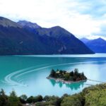
Lhasa → Nyingchi → Peach Blossom Valley → Basum Lake. Best March–April.
Mt. Kailash Pilgrimage
Lhasa → Shigatse → Saga → Manasarovar → Kailash Kora (3 days) → return. The great circuit.
Full Tibet Overland
Lhasa → EBC → Ngari → Kailash → return via different route. The ultimate Tibet journey.
Route Skeleton — Under Development
The Greater Tibet Circuit
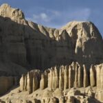
A clockwise private circuit from Lhasa through the Yarlung Valley, the Friendship Highway & Everest region, Mt. Kailash, the Guge Kingdom ruins, Ngari, the deep Changtang plateau, and back to Lhasa. Planned at 18–25 days — itinerary under development.
Skeleton only — full itinerary 18–25 days, under development
Altitude Reference Guide
Understanding altitude is essential for planning a safe Tibet trip. The higher you go, the more time needed for acclimatisation.
Practical Notes for Travellers
Permits Required
All foreign visitors need a Tibet Travel Permit. Additional permits are required for areas outside Lhasa. Your licensed agency arranges everything.
Getting Around
All inter-city travel uses private 4WD Land Cruisers. Roads on the Northern Plateau and Western Tibet can be rough. Allow extra time.
Connectivity
Mobile networks (China Mobile, Unicom) cover main routes. Remote areas like Ngari may have patchy coverage. Download offline maps before travelling.
Fuel Stops
Petrol stations exist in all county towns but can be sparse on the Ngari route. Your driver manages fuel logistics — no action needed from tourists.
Medical Facilities
Lhasa has decent hospitals. Outside Lhasa, medical facilities are basic. Emergency evacuation insurance is strongly recommended.
Cash is King
ATMs exist in prefectural capitals. Remote counties and guesthouses are cash-only. Bring sufficient Yuan before leaving Lhasa or Shigatse.
Ready to Plan Your Tibet Journey?
Our Tibet specialists will create a custom itinerary based on your preferred regions, travel dates and interests — completely free, with no obligation.
Frequently asked questions
How big is Tibet?
The Tibet Autonomous Region is roughly the size of Western Europe — one of the least densely populated regions on earth.
What is the average elevation of Tibet?
Tibet is known as the Roof of the World. The plateau averages well above 4,000 metres, and its highest point lies on the border with Nepal.
Which parts of Tibet can I visit?
Travellers most often visit the central region around Lhasa, Shigatse and Gyantse; the Everest region to the south; Nyingchi in the southeast; and the remote west around Mt. Kailash and Ngari. The maps on this page show the main routes.
What is the Greater Tibet Circuit?
It is the classic loop combining the central Tibetan towns with the northern plateau and the road to Everest — the route many travellers use to see the greatest variety of landscape in one trip.
We answer within 12 hours, Monday to Saturday.