


The Greater Tibet Circuit
- Duration
- 21 days
- Pace
- Moderate
- Group size
- Private, on your dates
- Best season
- May to mid-October (the Kora is snowed in through winter)
The trip at a glance
Lhasa → Yarlung Valley → Everest → Mt. Kailash → Guge Kingdom → Pangong Lake → Changtang → Lhasa
Tour Overview
- Lhasa
 Yarlung Valley
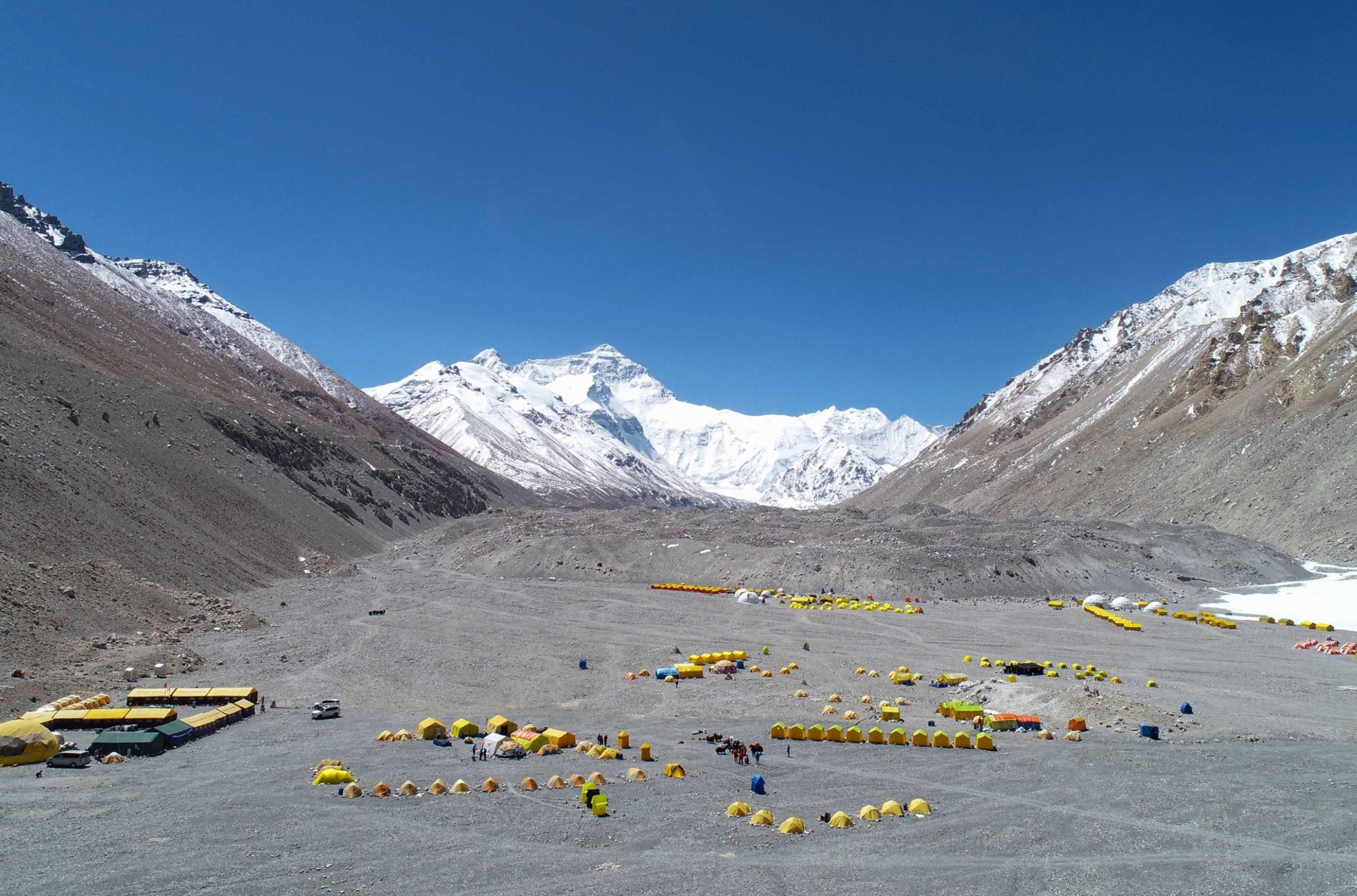 Everest
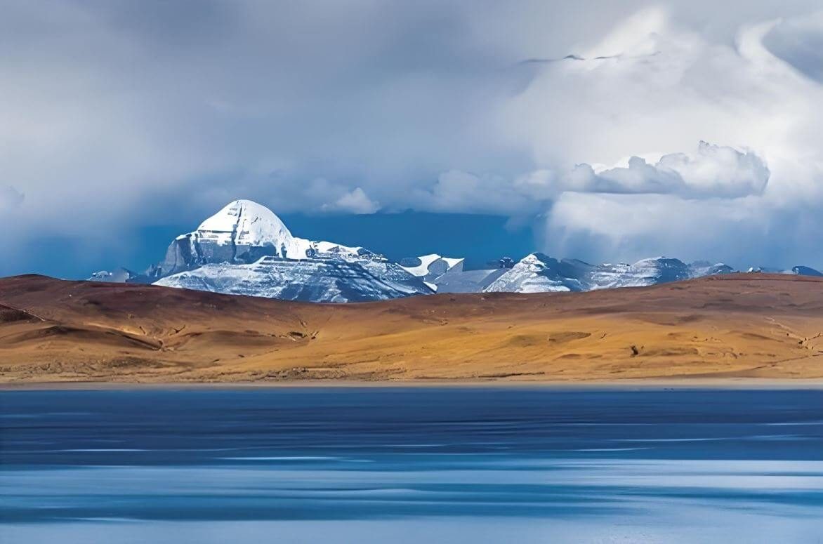 Mt. Kailash
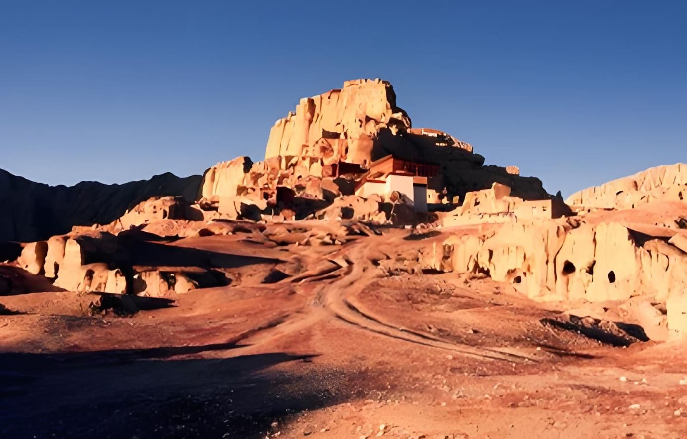 Guge Kingdom
- Pangong Lake
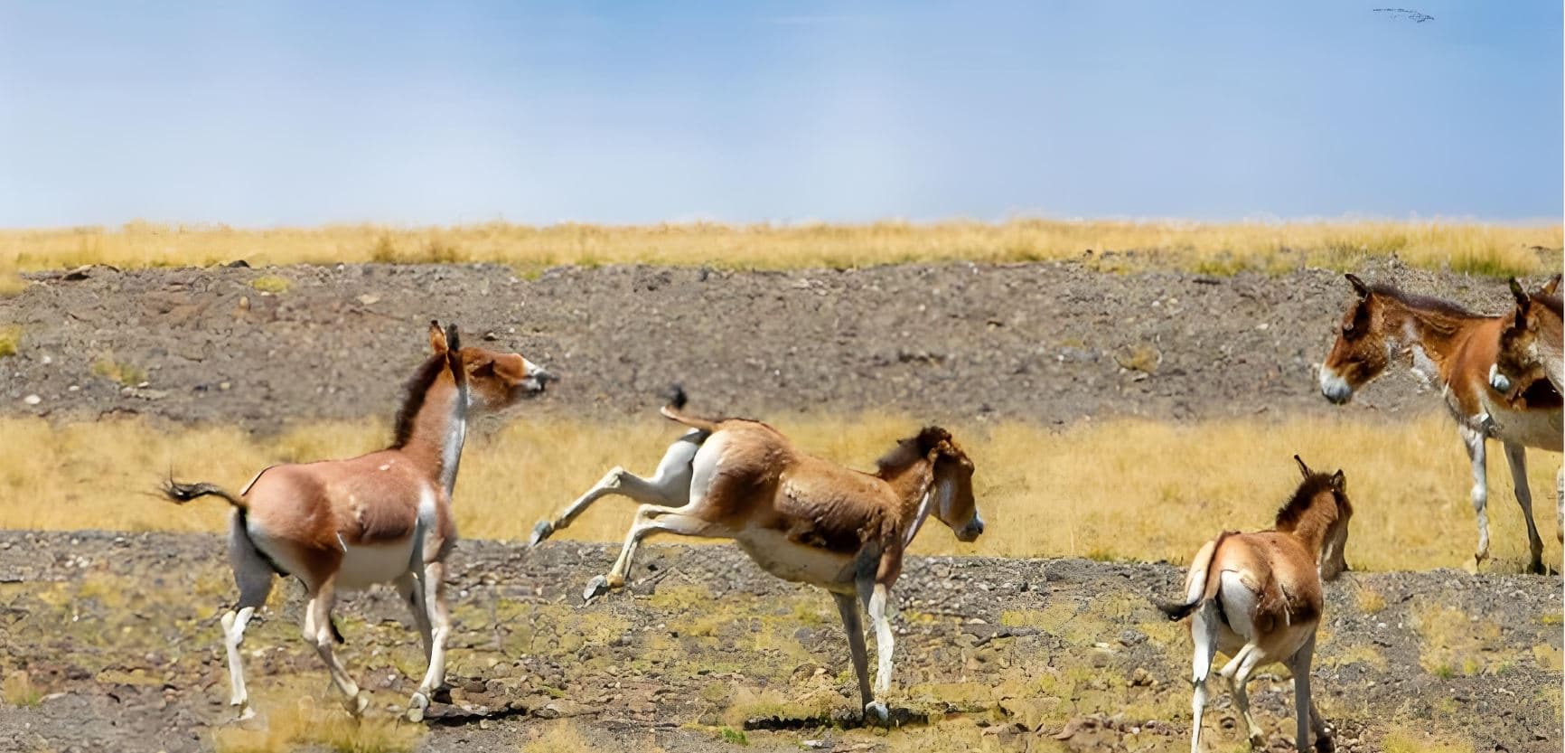 Changtang
- Lhasa
A Circuit of Tibet’s Heartland — Five Prefectures, One Clockwise Journey
The most demanding and intellectually rewarding private overland tour we operate — designed not simply as a route, but as an education across five entirely distinct Tibetan landscapes.
Five regions — one clockwise circuit
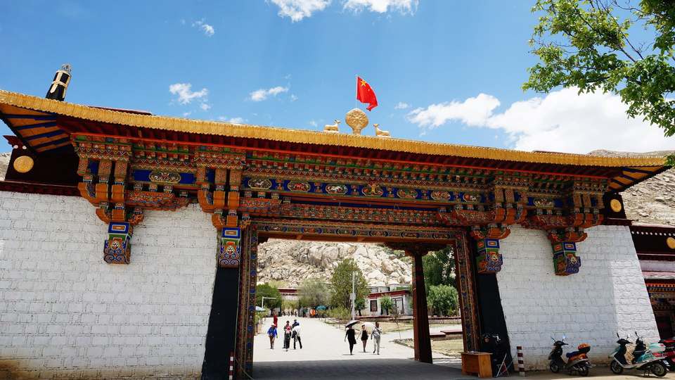
Lhasa & Yarlung Valley
3,560–3,650 m · D1–D4
Potala Palace · Sera Monastery · Samye · Yumbulakhang
Cradle of Tibetan civilisation — the oldest palace and first monastery
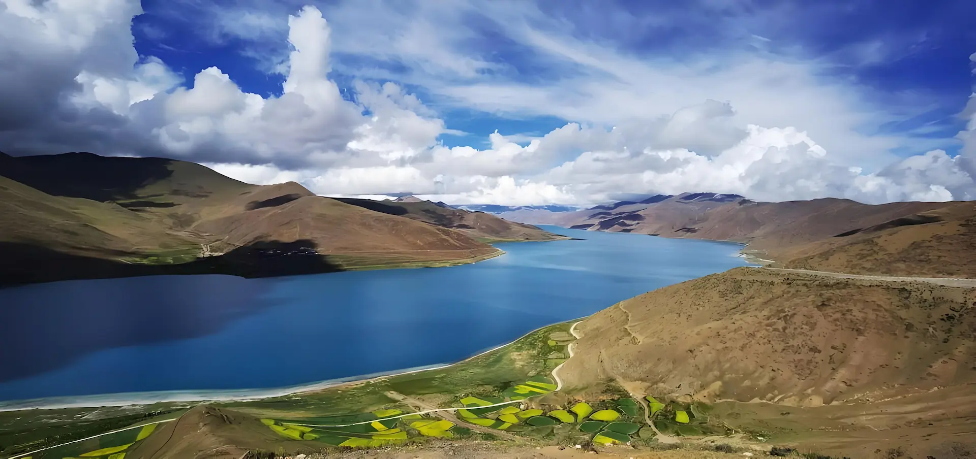
Friendship Highway & Everest
3,560–5,200 m · D5–D7
Yamdrok Lake · Karola Glacier · Gyantse Kumbum · EBC
The great trans-Himalayan corridor — five 8,000 m peaks visible
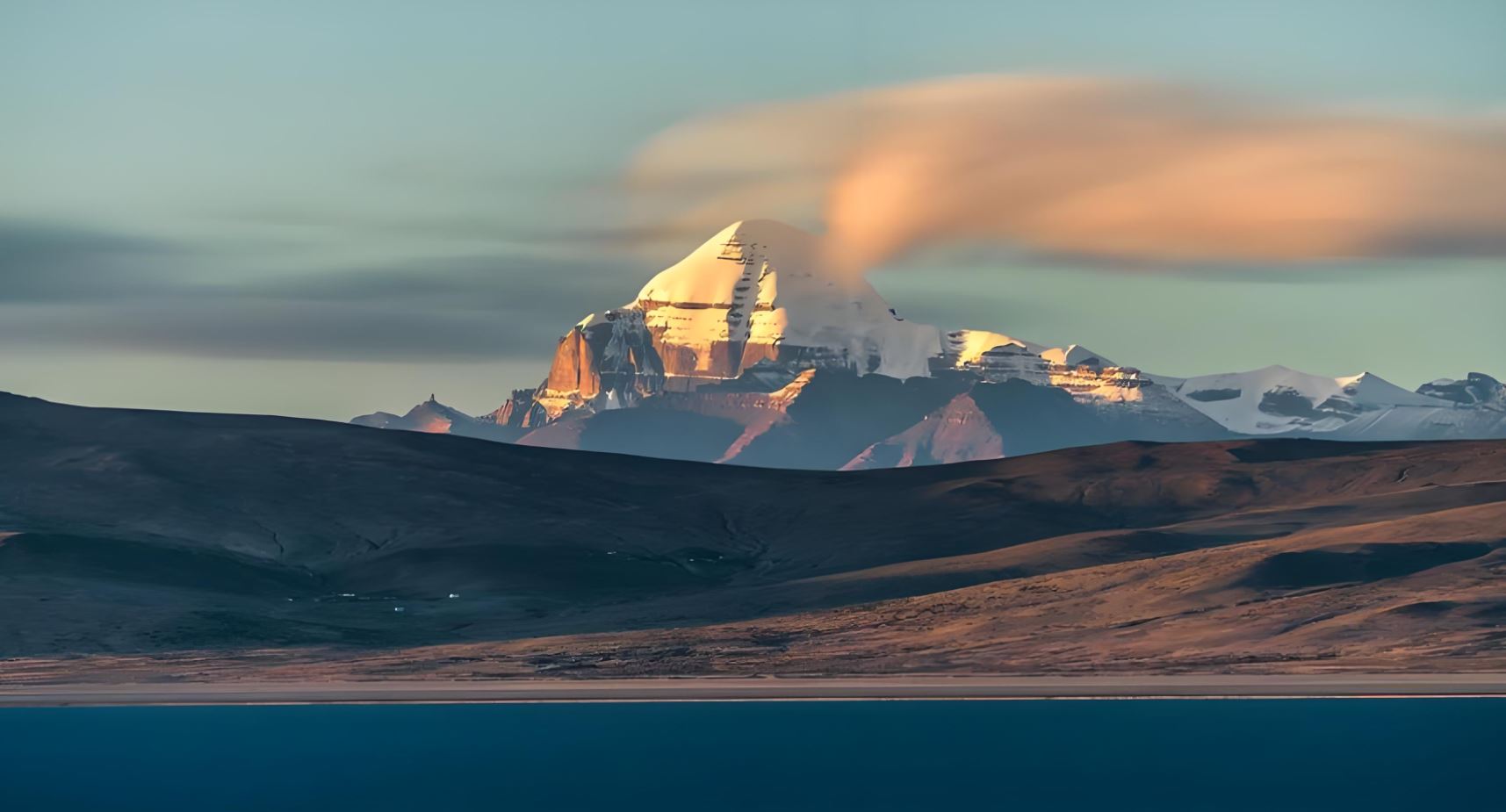
Western Tibet — Ngari
3,700–4,650 m · D8–D12
Mt. Kailash · Manasarovar · Guge Kingdom · Pangong Lake
The world’s holiest mountain and a vanished kingdom of the far west
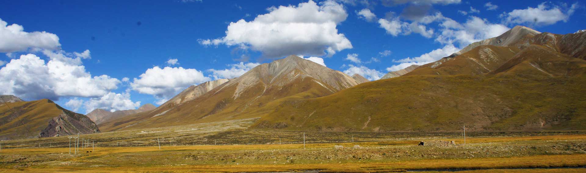
Changtang Plateau
4,200–4,500 m · D13–D16
Chiru · Wild Yak · Tibetan Wolf · Siling Co · Bamu Tso
One of Earth’s last great wildernesses — vast, uninhabited, extraordinary
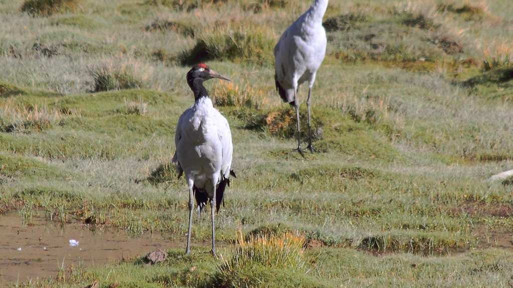
Northern Pastoral Tibet
4,200–4,520 m · D17–D21
Nagqu grasslands · Nomadic camps · Black-Necked Crane · Return
Nomadic Tibet — the vast pastoral north that most tourists never reach
Schematic Route Diagram
The Circuit at a Glance
Illustrative only — approximate relative positions, not a geographic projection.
Arrive Shigatse, Tibet’s second city, in the late afternoon.
Rongbuk Monastery Guesthouse at 4,300 m is the highest overnight of the southern arc. Some visitors experience significant symptoms. Drink extra water, eat lightly, and do not rush the EBC walk (20 min flat, no elevation gain). Return to the guesthouse well before dark.
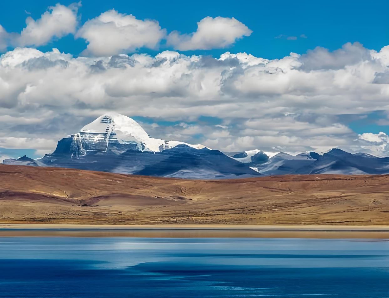
Lake Manasarovar (4,588 m): the most sacred lake in Asia — revered simultaneously by Hindus, Buddhists, Jains, and Bon practitioners. Its water is considered purifying; pilgrims drink it, bathe in it, and carry it home across the Himalayas. The lake surface, when still, reflects the surrounding peaks with extraordinary precision.
Darchen (4,560 m): the base village for Kailash pilgrims. The Kailash pyramid — perfectly symmetrical, 6,638 m, its flanks marked with vertical rock faces that have never been successfully climbed — is the visual anchor of the western Tibetan plateau.
From Darchen, the traditional 52 km kora (circumambulation) of Mt. Kailash takes 3 days on foot, crossing the Dolma La pass at 5,630 m — the highest point of the entire circuit. Completing the kora is among the most meritorious acts in Tibetan Buddhism. Adding 3 days here extends the tour to 24 days total. Please mention this option when you enquire.
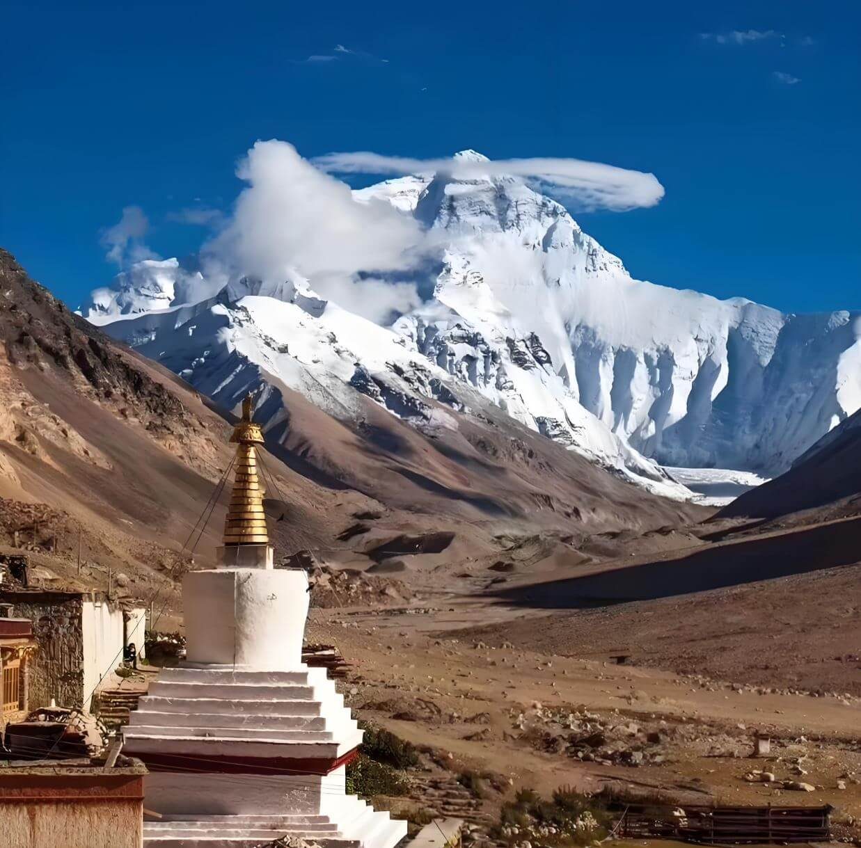
Visual pause
Western Tibet ends · Changtang begins · Day 13 →
Days 13–18 · 4,400–4,500 m · Where nomadic life has endured unchanged for centuries
Changtang Plateau — Herds at the Edge of the World
Tour at a Glance
Best Season
Permits Required
Tibet Travel Permit
Standard entry — all foreign visitors to Tibet
Alien’s Travel Permit
Required for EBC, Gyantse, Shigatse, Tsedang/Shannan
Military Zone Permit
Required for Ngari, Rutog, and Pangong Lake area
Ngari Special Permit
Required for Ngari prefecture travel
All permits arranged by us. Apply 30+ days before departure.
Route diagram
The schematic route map is shown above the day-by-day itinerary on this page — scroll up to see the full circuit.
Related tours
Where you go, and how high you sleep
The route, stop by stop
Lhasa → Yarlung Valley → Everest → Mt. Kailash → Guge Kingdom → Pangong Lake → Changtang → Lhasa
- Arrival in LhasaDay 1
- Lhasa — Potala Palace & Tibet Natural History MuseumDay 2
- Lhasa — Jokhang Temple, Barkhor & Sera MonasteryDay 3
- Lhasa → Samye Monastery → Tsedang (Lhoka / Shannan)Day 4
- Tsedang → Yamdrok Lake → Gyantse → ShigatseDay 5
- Shigatse → Tashilhunpo → Everest Base CampDay 6
- Everest → Peiku Tso → SagaDay 7
- Saga → Lake Manasarovar → Darchen (Kailash Base)Day 8
- Darchen → Zanda (Guge Kingdom)Day 9
- Zanda — Full Day: Guge Kingdom & Tholing MonasteryDay 10
- Zanda → Shiquanhe (Ngari)Day 11
- Shiquanhe → Pangong Lake (Day Visit) → ShiquanheDay 12
- Shiquanhe → GaizeDay 13
- Gaize → NyimaDay 14
- Nyima → Siling CoDay 15
- Siling Co → Bamu Tso → NagquDay 16
- Nagqu — Changtang Grassland & Nomadic CampsDay 17
- Nagqu — Pastoral LoopDay 18
- Nagqu → LhasaDay 19
- Lhasa — Buffer DayDay 20
- DepartureDay 21
Day by day
Arrival in Lhasa
Arrive at Lhasa Gonggar Airport in the Yarlung Tsangpo valley, 90 minutes south of the city. Your guide meets you at arrivals and drives you to your Lhasa hotel. Today is a mandatory acclimatisation day — do not exert yourself. At 3,650 m, the altitude affects most arrivals; drink water, eat lightly, and rest. A short evening walk around the hotel neighbourhood is enough.
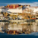
The Potala Palace, visible from most Lhasa streets, is the first confirmation that you have arrived somewhere genuinely extraordinary. Your guide will call you in the evening to confirm tomorrow's schedule.
Lhasa — Potala Palace & Tibet Natural History Museum
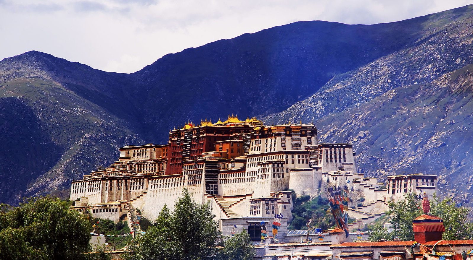
Morning: Potala Palace. Rising 117 metres above Red Hill, the Potala is simultaneously a royal palace, a religious monument, and the most recognisable structure in Central Asia. Thirteen storeys of white-and-red stone enclose 10,000 shrines, 200,000 statues, and the tombs of eight Dalai Lamas. Your guide orients the visit around the White Palace (administrative quarters) and the Red Palace (the spiritual core, with gilded chapels and jewelled chortens). Visitor numbers are strictly controlled — movement through the rooms is slow and deliberate.
Afternoon: Tibet Natural History Museum. For the wildlife days ahead, this is the essential preparation. The museum holds the most comprehensive public display of Tibetan plateau fauna in any collection: taxonomy charts, habitat maps, and physical specimens of Chiru, Kiang, wild yak, Tibetan wolf, and snow leopard. Your guide introduces each species before you encounter them in the field.
Lhasa — Jokhang Temple, Barkhor & Sera Monastery
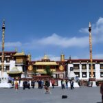
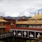
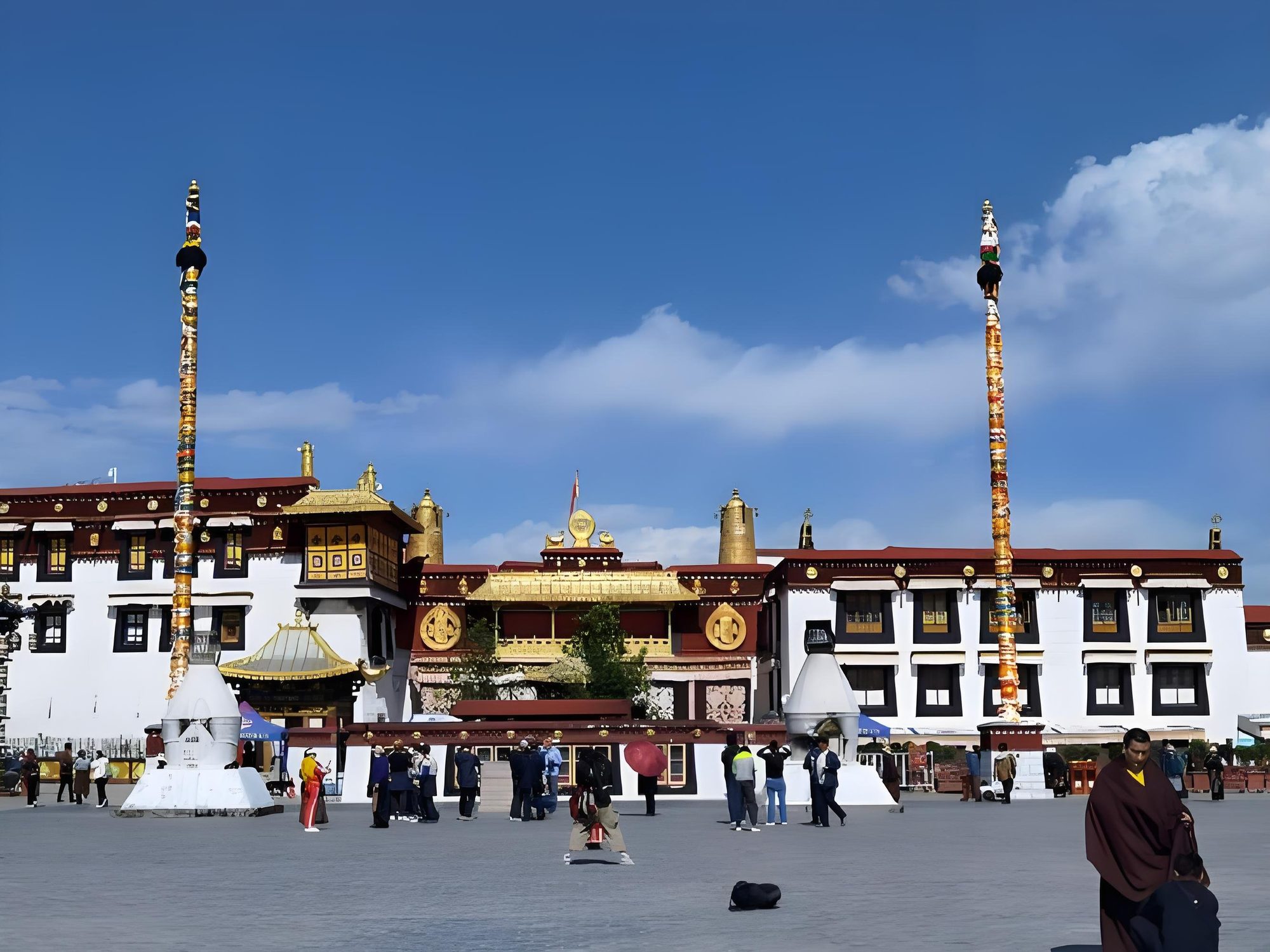
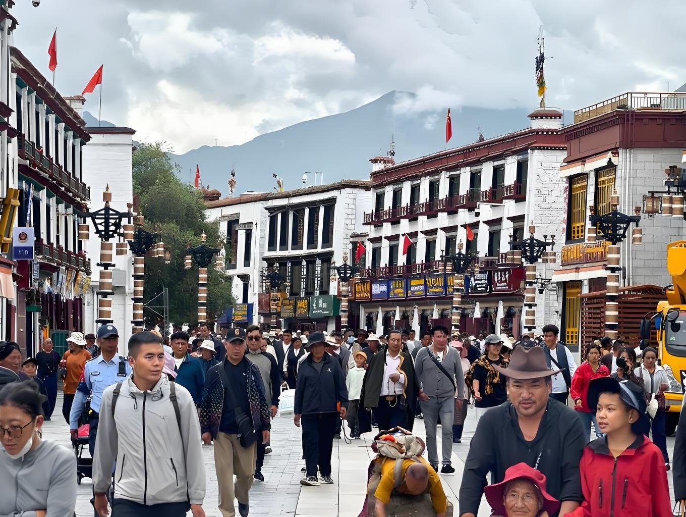
Morning: Jokhang Temple — the spiritual heart of Tibet, more sacred to Tibetan Buddhists than the Potala. Founded in 647 CE, the Jokhang houses a statue of Shakyamuni Buddha brought as part of Princess Wencheng's dowry. The forecourt is busy with prostrating pilgrims from earliest light. Walk the Barkhor Street pilgrim circuit surrounding the temple — an unbroken ring of prayer-wheel spinners, incense vendors, and resident pilgrims that has circled the Jokhang for 1,300 years.
Afternoon: Sera Monastery. Founded in 1419, Sera is one of the three great Gelugpa monasteries of Lhasa. The 3 PM monk debate session — open to visitors — is one of the most energetic events in Tibetan religious life: monks argue points of Buddhist philosophy by clapping sharply at each rhetorical point, their robes billowing in the courtyard. This evening: prepare bags for tomorrow's early departure south.
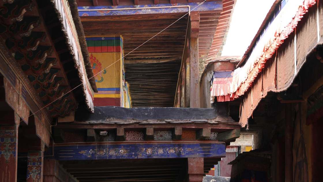
Lhasa → Samye Monastery → Tsedang (Lhoka / Shannan)
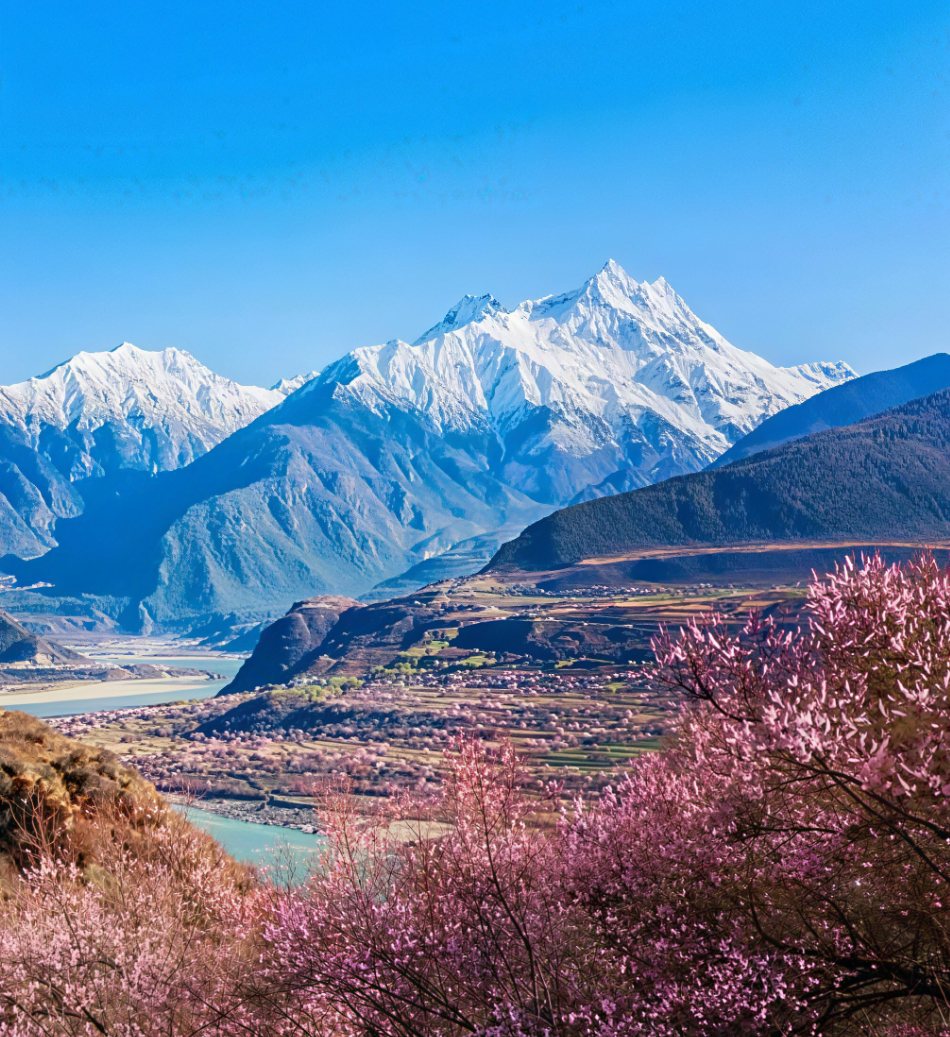
Drive southeast from Lhasa into the Yarlung valley — the geographical and spiritual cradle of Tibetan civilisation. The Yarlung Tsangpo is wide and braided here; the landscape opens into agricultural plains and ancient cliffs.
En route: Samye Monastery. Founded in 779 CE by King Trisong Detsen with Guru Rinpoche (Padmasambhava) and the Indian scholar Shantarakshita, Samye is Tibet's first Buddhist monastery. Its central temple (Utse) is architecturally unique: three floors, each representing a distinct cosmological tradition. You cross the Yarlung Tsangpo by bridge to reach it. Allow 1.5–2 hours.
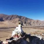
Arrival in Tsedang: Yumbulakhang Palace. Dating to the 2nd century BCE, Yumbulakhang is the oldest building in Tibet — a tall, narrow stone tower on a spur of rock overlooking the Yarlung valley. It predates Buddhism on the plateau. The view from the tower takes in the arc of the valley where the Tibetan people first organised as a civilisation.
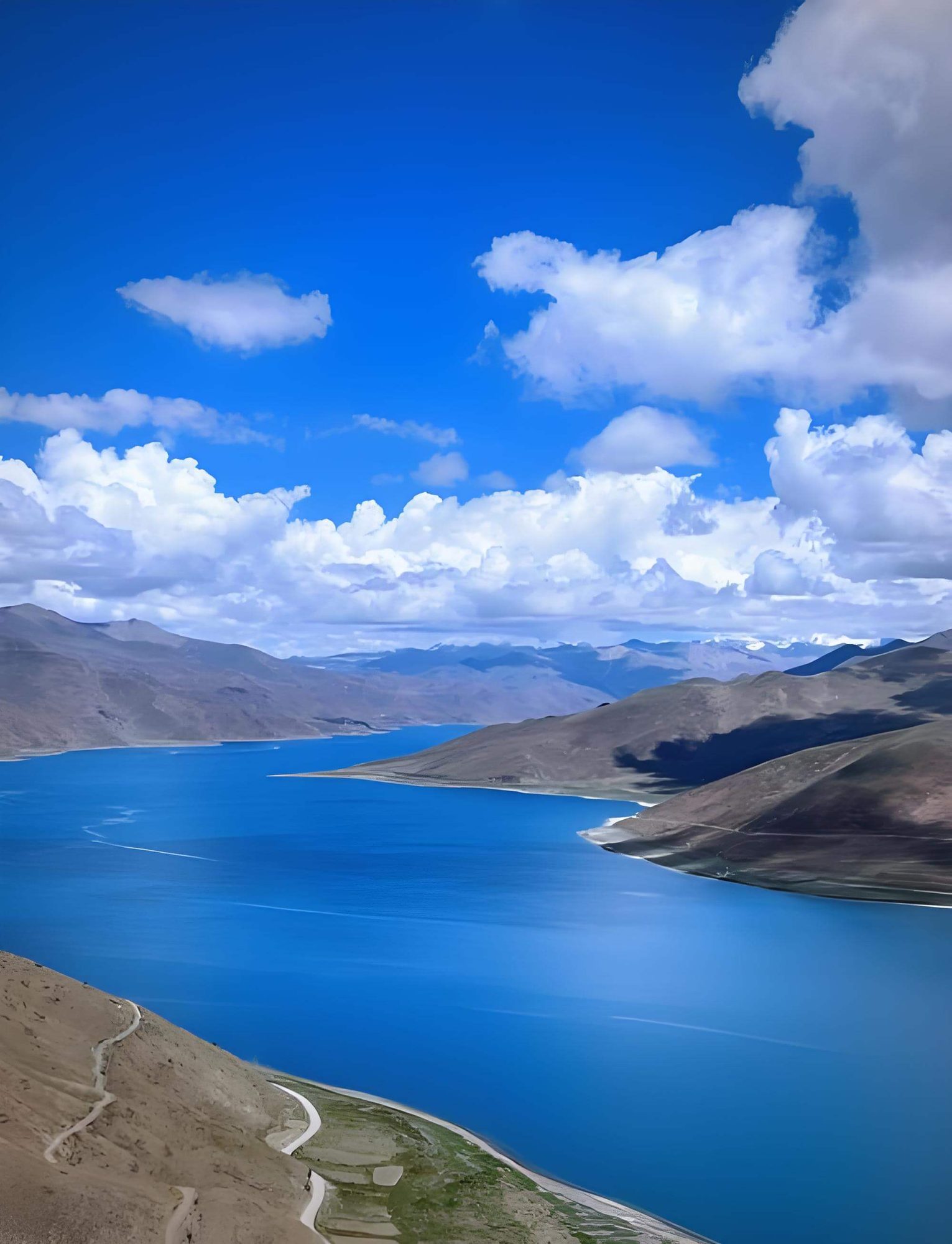
Tsedang → Yamdrok Lake → Gyantse → Shigatse
A long and scenically extraordinary day across central Tibet.
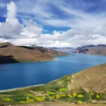
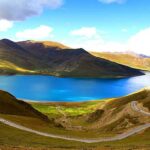
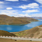
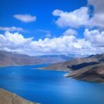
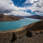
Kamba La Pass (4,794 m): the first view of Yamdrok Lake — a sacred turquoise lake stretching 72 km below the pass. One of Tibet's three holiest lakes, its colour is an intense blue-green that shifts with cloud and light in ways that photographs cannot fully capture.
Karola Glacier: a tongue of blue-grey glacial ice descending directly to the roadside — close enough to touch from the road. Fast-retreating due to climate change; what you see today is measurably smaller than a decade ago.
Gyantse: the Gyantse Kumbum is the greatest surviving example of Tibetan mandala architecture — a nine-storey, 32-metre stupa containing 108 chapels arranged as a three-dimensional diagram of the Buddhist cosmos, founded in 1427. The Gyantse Dzong fortress on the cliff above was the site of the British Younghusband expedition of 1904.
Arrive Shigatse, Tibet's second city, in the late afternoon.
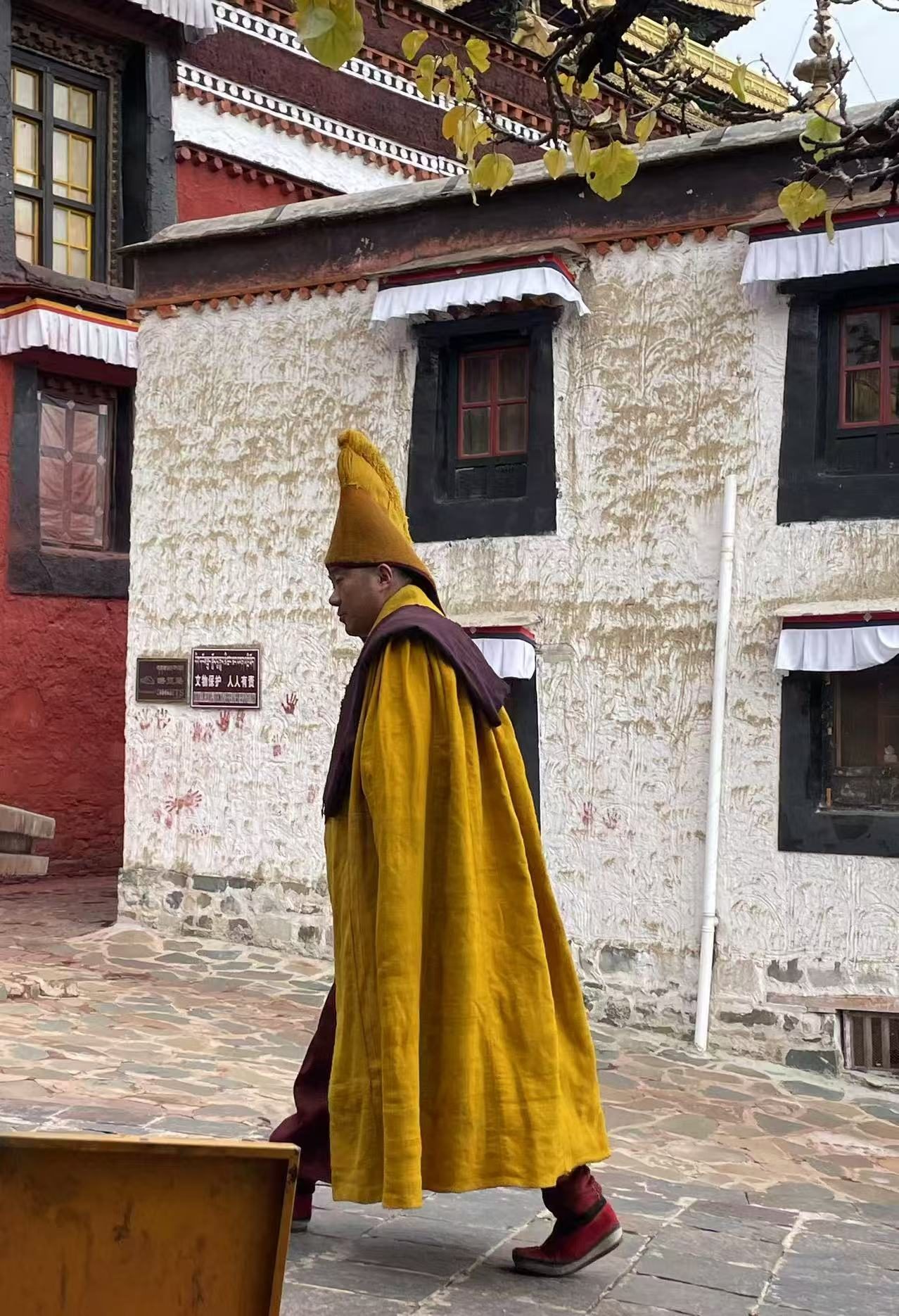
Shigatse → Tashilhunpo → Everest Base Camp
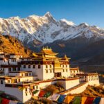
Morning: Tashilhunpo Monastery — the largest functioning monastery in Tibet and the historical seat of the Panchen Lama. Founded in 1447 by the first Dalai Lama, Tashilhunpo holds the world’s largest gilded statue of Maitreya (the Future Buddha), 26 metres high. The complex of colleges, chapels, and gold-roofed temples covers an entire hillside.
Drive west: the Gyawula Mountain Pass (5,220 m) — one of the highest paved passes in Tibet. Old Tingri below the pass commands a panorama of the entire Himalayan main chain: Everest, Lhotse, Makalu, and Cho Oyu simultaneously visible on a clear morning.
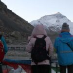
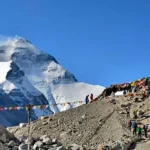
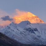
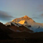
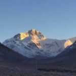
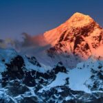
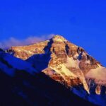
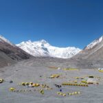
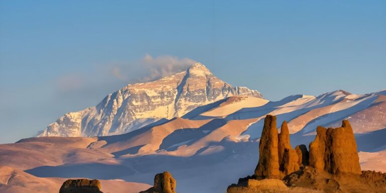
Rongbuk Monastery and Everest Base Camp: the road climbs 25 km to Rongbuk — the world’s highest monastery. From EBC (5,200 m), the North Face of Everest fills the entire horizon. Sunset on the North Face — the summit pyramid glowing copper and then purple before the light fails — is the defining image of this tour.
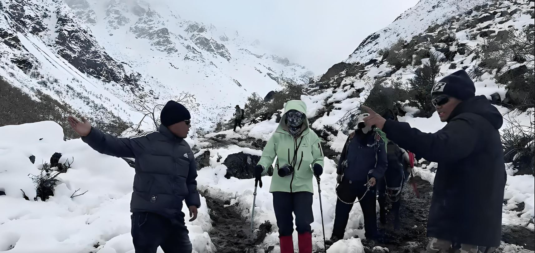
Altitude note — Rongbuk overnight — Rongbuk Monastery Guesthouse at 4,300 m is the highest overnight of the southern arc. Some visitors experience significant symptoms. Drink extra water, eat lightly, and do not rush the EBC walk (20 min flat, no elevation gain). Return to the guesthouse well before dark.
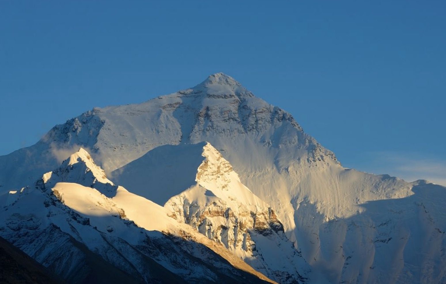
Everest → Peiku Tso → Saga
Pre-dawn: return to EBC for the 5 AM light. The summit catches the first sun before the valley below is lit — the best photographic condition of the visit. Slow breakfast at Rongbuk, then departure.
The road turns west from Old Tingri. Most Tibet tourists turn back toward Lhasa here. Your circuit continues west — and the route becomes noticeably quieter.
Peiku Tso (Paiku Lake, 4,590 m): Shishapangma (8,027 m) — the fourteenth-highest mountain on earth and the only 8,000 m peak located entirely within China — rises directly from the far shore. On a still morning, its reflection spans the full width of the lake. Almost no Tibet itinerary includes Peiku Tso. This one does.
Saga: the last significant provisioning town before western Tibet. The road west from here is longer, emptier, and higher than anything driven so far.
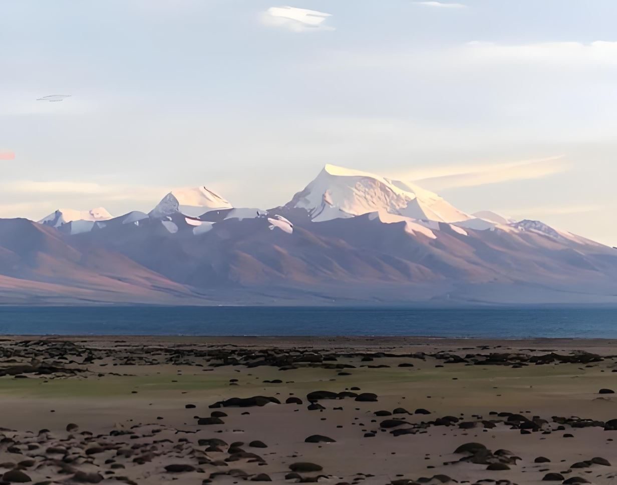
Saga → Lake Manasarovar → Darchen (Kailash Base)
The longest driving day of the southern arc — a full day across the western Tibetan plateau, with Paryang as the only fuel and rest stop. The landscape becomes more arid, the plateau wider and emptier. By mid-afternoon, the snow pyramid of Kailash becomes visible far ahead.
Lake Manasarovar (4,590 m): the most sacred lake in Asia — revered simultaneously by Hindus, Buddhists, Jains, and Bon practitioners. Its water is considered purifying; pilgrims drink it, bathe in it, and carry it home across the Himalayas. The lake surface, when still, reflects the surrounding peaks with extraordinary precision.
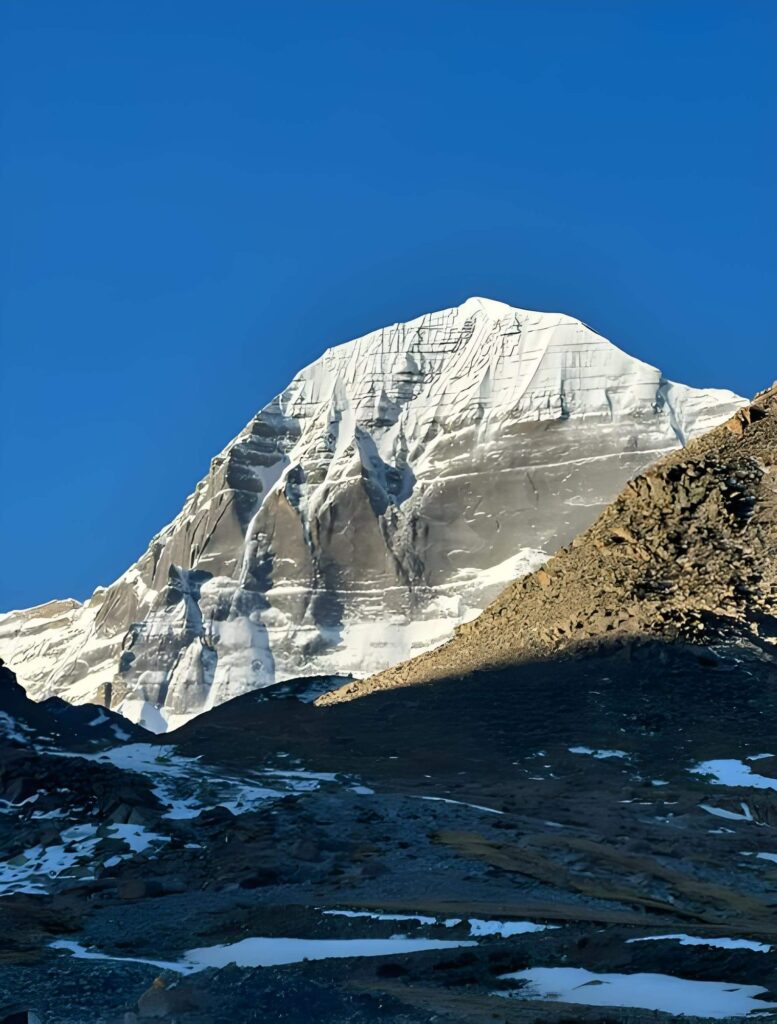
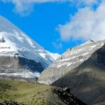
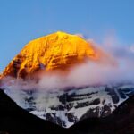
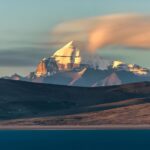
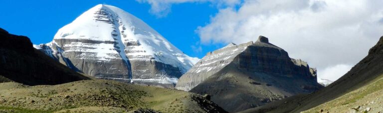
Darchen (4,650 m): the base village for Kailash pilgrims. The Kailash pyramid — perfectly symmetrical, 6,638 m, its flanks marked with vertical rock faces that have never been successfully climbed — is the visual anchor of the western Tibetan plateau.
Optional extension — Kailash Kora (+ 3 days) — From Darchen, the traditional 52 km kora (circumambulation) of Mt. Kailash takes 3 days on foot, crossing the Dolma La pass at 5,630 m — the highest point of the entire circuit. Completing the kora is among the most meritorious acts in Tibetan Buddhism. Adding 3 days here extends the tour to 24 days total. Please mention this option when you enquire.
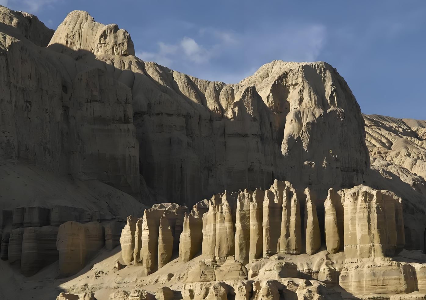
Darchen → Zanda (Guge Kingdom)
Drive south then west from Darchen across a high plateau before descending toward the Sutlej River valley — one of the great river canyons of the western Himalayas. The landscape becomes increasingly stark: ochre cliffs, eroded earth pillars, and a canyon topography unlike anything seen so far on the circuit.
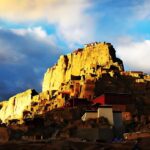
Zanda sits in a canyon carved by the Sutlej. Surrounding the town are thousand-year-old earth formations — the geological remnant of an ancient lake bed eroded into towers, caves, and labyrinthine passages. The Guge Kingdom ruins occupy the cliff above: a 10th-century civilisation that controlled western Tibet's trade routes, produced extraordinary religious art, and then vanished abruptly after a massacre in 1630. The ruins have never been fully restored or excavated. Walking among the chapels — their frescoes still coloured, their structures open to the sky — is one of the most atmospherically powerful experiences in Tibet.
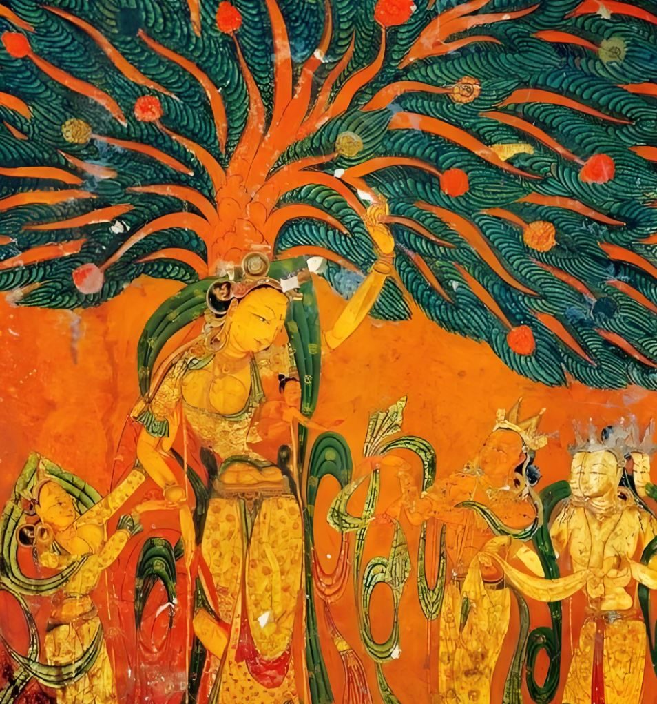
Zanda — Full Day: Guge Kingdom & Tholing Monastery
A full day in the Zanda area — one of the least visited and most remarkable corners of Tibet.
Tholing Monastery: founded in 996 CE by the king of Guge, Tholing is the oldest and most important surviving monastery of the western Tibetan kingdom. Its Assembly Hall contains murals considered among the finest Tibetan religious paintings in existence — executed at a moment when western Tibet was the primary channel for Buddhist scholarship between India and the plateau. Partially damaged during the Cultural Revolution, partially restored; what survives is extraordinary.
Guge Kingdom Ruins: the abandoned citadel climbs the cliff above Zanda — storage rooms, chapels, escape tunnels, and royal chambers arranged across multiple levels from valley floor to summit. At the top, the royal palace commands a 360-degree view of the Sutlej canyon and the ochre earth-tower landscape that stretches for kilometres in every direction.
Zanda → Shiquanhe (Ngari)
Drive north from the Sutlej canyon back onto the high western Tibetan plateau. The road passes through near-empty landscape — occasional nomad camps, a few small rivers, and the distant peaks of the Transhimalaya to the south. This is among the most remote terrain on the circuit.
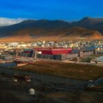
Shiquanhe — the administrative capital of Ngari Prefecture and the largest town in western Tibet — population roughly 15,000, located at 4,200 m. Its grid-planned streets and functional buildings are a pragmatic response to an extreme environment. Shiquanhe is the logistics base for the Pangong day trip tomorrow and the starting point for the Changtang crossing that begins the day after.
Shiquanhe → Pangong Lake (Day Visit) → Shiquanhe
Drive north from Shiquanhe to Rutog County — a day trip to the Tibet side of Pangong Co. The lake is globally known for its Ladakh/India side; the Tibet side, accessible from Rutog, is visited by a fraction of the tourists and has a considerably more remote character.
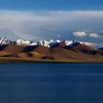
Pangong Co extends 134 km east-west and sits at 4,350 m. Its surface colour shifts between deep navy, emerald, and turquoise depending on the light and season. The surrounding mountains are bare and dramatically coloured — rust, ochre, and grey-white. On the Tibet side: no crowds, no tourist facilities, no paved viewpoints — just the lake, the mountains, and the sky.
Return to Shiquanhe in the afternoon. Tomorrow the eastward Changtang crossing begins.
Shiquanhe → Gaize
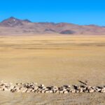
The pivot day of the circuit — from the western mountains to the great northern plateau. The road east from Shiquanhe enters the Changtang (Northern Tibet Plateau) — one of the largest and highest plateau systems on earth, averaging above 4,500 m and covering roughly 700,000 km². Most of it is uninhabited.
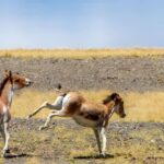
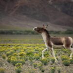
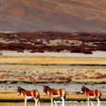
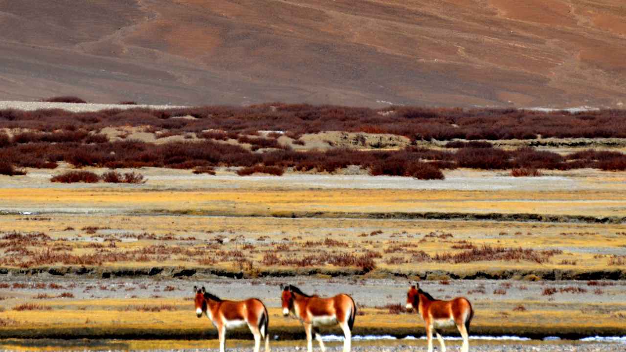
Gaize (4,400 m) is a county town in the interior Changtang — a small administrative centre surrounded by open steppe. From here the road continues east through increasing wildlife density. Kiang (Tibetan wild ass) herds and Tibetan gazelle appear along the roadside from this day onward.
Gaize → Nyima
The longest driving day of the Changtang crossing — nearly 500 km of open plateau with very few settlements and a wildlife density that increases kilometre by kilometre. Kiang herds of 50 to 200 animals are common; Tibetan gazelle are frequent along the roadside; Tibetan wolf is sighted on a significant proportion of trips through this section.
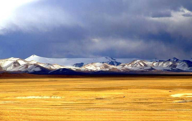
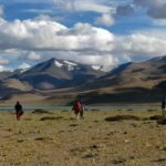
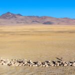
The landscape is pure Changtang: brown-gold in autumn, green-gold in summer, utterly treeless, the sky enormous. This is the visual anti-thesis of Ngari's canyons and peaks — here everything is horizontal, infinite, and still. Most tourists never see this Tibet. The people who remain here — the plateau nomads — keep the largest yak herds on earth and move seasonally across terrain grazed in the same way for a thousand years.
Nyima (4,500 m): a small county town in the heart of the Changtang — the last service point before Siling Co.
Nyima → Siling Co
A shorter driving day — deliberate, to allow time at the lake itself. Siling Co (Seling Tso) is Tibet's largest lake, at 2,391 km². Its water is saline and brilliant blue-green; the surrounding steppe is wide and open, with snow peaks to the north and west.
Siling Co is a key breeding ground for the bar-headed goose — one of the world's highest-flying migratory birds, which crosses the Himalayas at up to 7,290 m twice annually — and hosts flamingo colonies in season. Black-necked cranes are present in the wetland margins. The afternoon is reserved for lakeside exploration: walking the shoreline, watching the light shift across the water, photographing the wildlife that congregates at the water's edge.
Overnight at a guesthouse near the lake — the most atmospheric accommodation of the Changtang section.
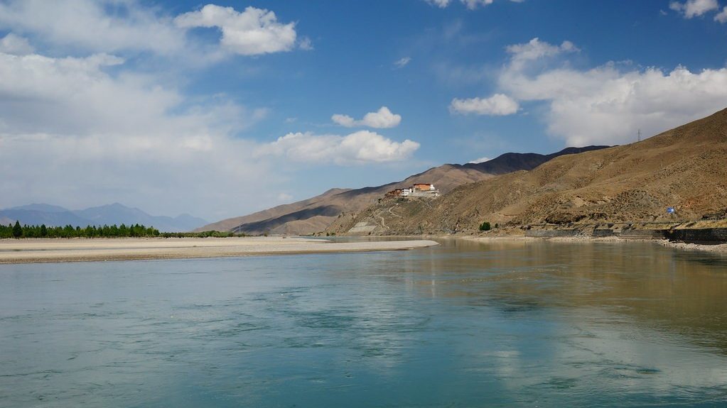
Siling Co → Bamu Tso → Nagqu
The final Changtang day before the return to the Lhasa orbit. The route passes Bamu Tso — a shallow, reed-fringed wetland lake that is one of the most reliable black-necked crane habitats in northern Tibet. In autumn, large flocks gather here before the migration south to the Lhasa valley. In summer, nesting pairs are present with young.
The road gradually descends toward Nagqu (4,520 m) — the administrative capital of the Northern Tibet Autonomous Prefecture and the largest city on the Changtang. After ten days of wilderness driving, the relative presence of a Tibetan city feels both familiar and strange. Nagqu is known for its Tibetan horse racing festival (August) and as the centre of the nomadic pastoral economy.
Nagqu — Changtang Grassland & Nomadic Camps
A recovery day after the long Changtang crossing — and for those with energy, one of the most revealing days of the circuit. The grasslands around Nagqu are the southern edge of the Changtang wildlife zone: Kiang herds and Tibetan gazelle are present within a short drive of the city.
Your guide takes you to nomadic encampments in the pastoral valleys surrounding the city — a genuine encounter with the yak-herding culture that has sustained life on the northern plateau for centuries. Butter tea, tsampa (roasted barley flour), and dried yak meat are the staple foods; the black wool tents (ba) are still built in the traditional style. This is not a staged cultural performance — the herders live here because this is how life works on the Changtang.
Optional long excursion: a drive in the direction of Damxung and Namtso Lake (Tibet's second-largest lake, 4,718 m) — ask your guide based on conditions and energy levels.
Nagqu — Pastoral Loop
A slow, deliberate final morning on the northern plateau. The short pastoral loop around Nagqu's surrounding valleys provides last opportunities for wildlife and nomadic culture before tomorrow's return to Lhasa.
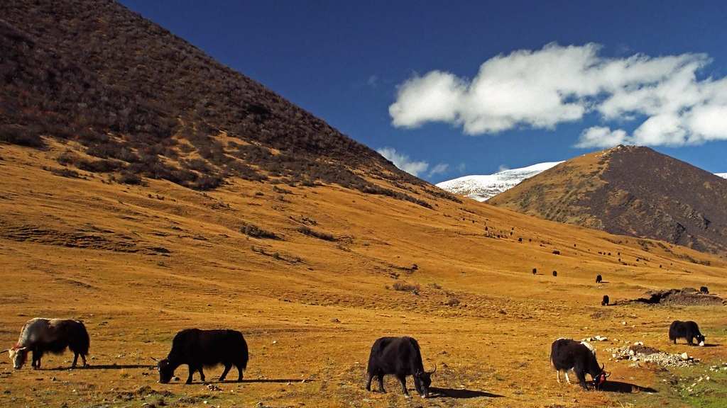
The yak is the defining animal of the Tibetan plateau — domesticated from the wild yak (Bos mutus) an estimated 10,000 years ago, it is the foundation of the plateau economy: milk for butter and cheese, dung for fuel, hair for tent fabric, meat for the winter, carrying capacity for terrain no wheeled vehicle can reach. A herd of 200 yaks moving across the open steppe in morning light, attended by a single herder on horseback, is Tibet in its oldest form.
Afternoon in Nagqu. Evening preparation for the long return drive tomorrow.
Nagqu → Lhasa
The return. The G6 highway crosses the Nyenchen Tanglha range — a dramatic snow-peak pass — before descending into the Lhasa River valley. The road is excellent; the descent from 4,500 m to 3,650 m is felt clearly as the air thickens and the barley fields of the valley floor appear.
The Potala, seen from the road on the final approach to the city, marks the end of the circuit. You left from this city 18 days ago and have completed a clockwise loop around the Tibetan plateau — from its ancient southern cradle (Yarlung) through the Himalayan frontier (Everest), the far west (Kailash, Guge, Ngari), and the vast uninhabited north (Changtang) — and now back.
Evening: dinner in Lhasa. Your guide is available for questions and to assist with any final logistics before departure tomorrow.
Lhasa — Buffer Day
A buffer day in Lhasa before departure — built in deliberately because 19 consecutive days of high-altitude driving and travel leaves many travellers wanting an unscheduled day. Use it for Barkhor market shopping (Tibetan textiles, thangka paintings, silver jewellery, and stones), a revisit of any site that deserves more time, or simply rest.
Lhasa has several good Tibetan restaurants and a growing number of comfortable hotels. Your guide is available for the day if you wish to explore further — or simply to arrange airport transfers and any remaining logistics.
Departure
Transfer to Lhasa Gonggar Airport. Lhasa connects to Beijing, Shanghai, Chengdu, Chongqing, Xi'an, and other major Chinese cities by daily direct flights. Weekly direct flights operate between Lhasa and Kathmandu (subject to permit and diplomatic conditions).
The Greater Tibet Circuit concludes upon airport drop-off. No overnight.
Photos from this route
Want another long expedition?
See all 4 tours of 18+ days →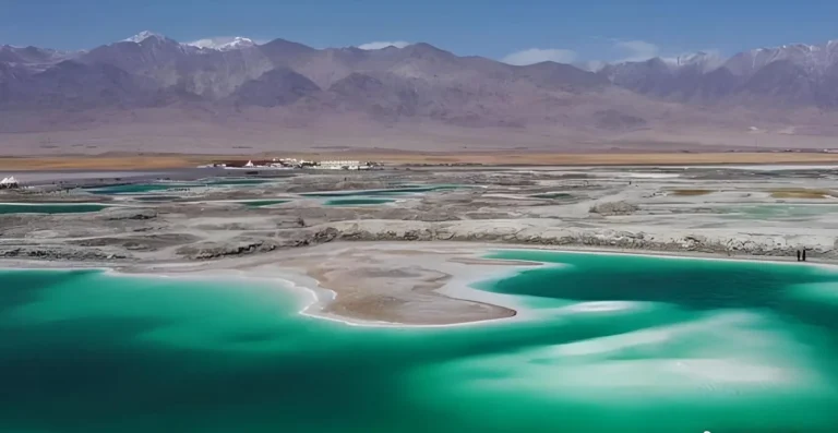
Questions travellers ask
How large will my group be?
This is a private tour — your party travels alone on your own dates, with your own guide and vehicle throughout. The group is only the people you bring; solo travellers, couples and families all travel this way. If you would rather join a fixed small-group departure (usually 3–8 travellers) on one of the classic routes, tell us on the form and we will suggest departures that fit your dates.
Which permits does this tour need?
We arrange every permit this trip needs as part of your booking — you only need a valid passport. This route needs four: the Tibet Travel Permit, which every foreign visitor needs to enter Tibet, the Alien’s Travel Permit, for places outside Lhasa, the Border Defence Permit, for the Everest and border areas and the Military Permit, for western Tibet (Ngari), including Mount Kailash. All of them are included in your quote.
How do I get to the starting point of the tour?
We meet you on arrival in Lhasa — your guide is waiting and your transfer is included. You can reach Lhasa by flight or by the Qinghai–Tibet railway. Many travellers fly in and take the train out (or the other way round) to see both faces of the plateau, and we are happy to advise on flights and train tickets as part of your booking.
Can this tour be customized?
Yes — every tour on this site can also run as a private departure with your own dates and pace, arranged by our own office in Lhasa. Send us your dates, group size and interests and we will adapt the itinerary around you.