


Kailash & Manasarovar
- Duration
- 13 days
- Pace
- Challenging
- Group size
- Private, on your dates
- Best season
- May to mid-October (the Kora is snowed in through winter)
The trip at a glance
The world's most sacred mountain — holy to Hinduism, Buddhism, Bon and Jainism. Everest Base Camp, Peiku Tso, Lake Manasarovar, Sakya Monastery. Optional extensions: Kailash kora trekking and the Guge Kingdom ruins.
One mountain — four faiths — the most sacred peak on earth
Read the full overview
Hinduism
Home of Shiva
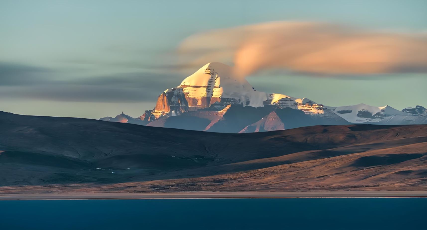
The mountain is the physical form of Mount Meru — the axis of the universe. Pilgrims circle it to attain moksha.
Buddhism
Seat of Chakrasamvara
The 84 Mahasiddhas are said to have attained enlightenment here. The kora liberates from the cycle of rebirth.
Bon
Sky Goddess Sipaimen
The pre-Buddhist faith of Tibet regards Kailash as the soul of the Bon universe — its axis, its first home.
Jainism
Liberation of Rishabhadeva
The first Tirthankara is said to have attained liberation on this summit. Pilgrimage here is among the most sacred acts.
- Lhasa
 Yamdrok Lake
 Gyantse
- Shigatse
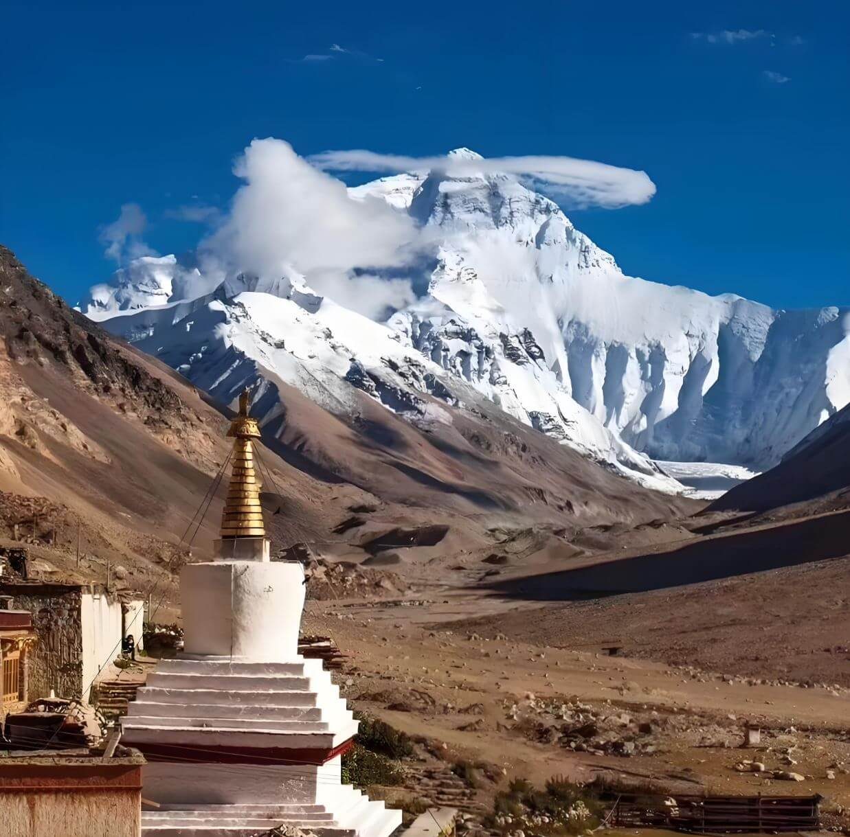 Everest Base Camp
- Peiku Tso
- Saga
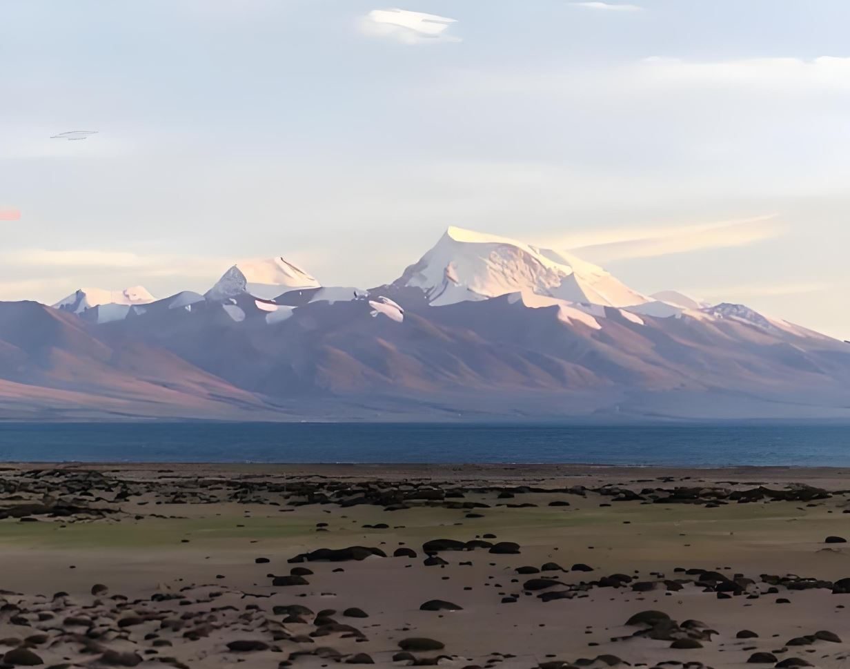 Lake Manasarovar
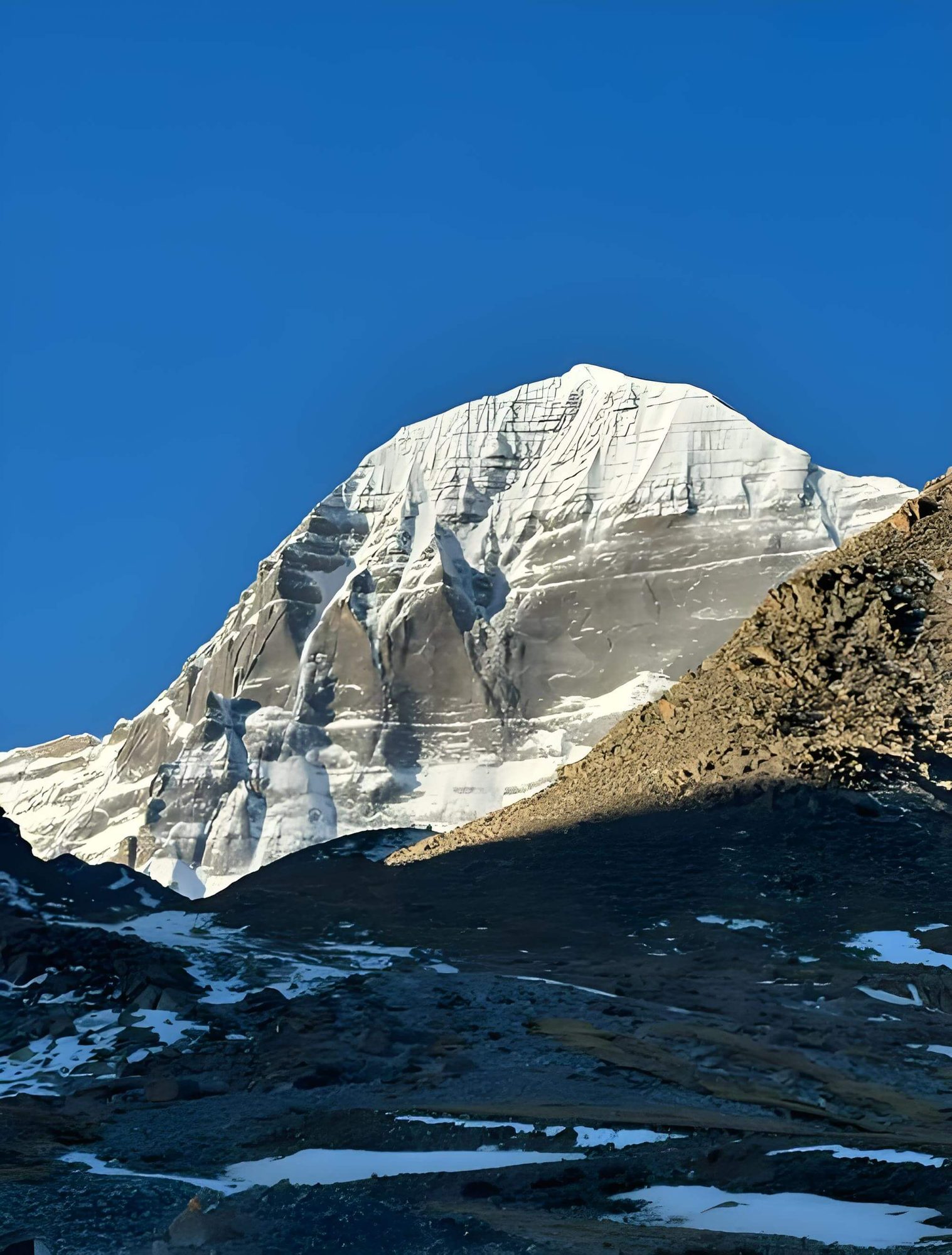 Mount Kailash
- Lhasa
Days 1–3 — The Lhasa Foundation
Potala Palace · Jokhang · Sera debate · Acclimatisation
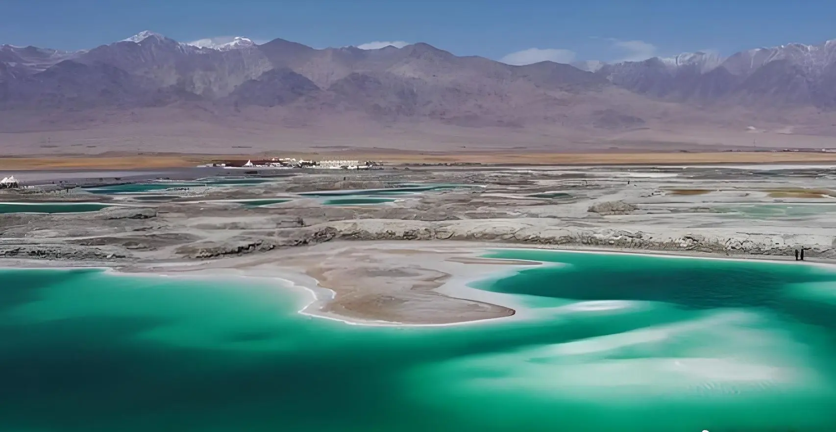
Day 1 — Arrival in Lhasa
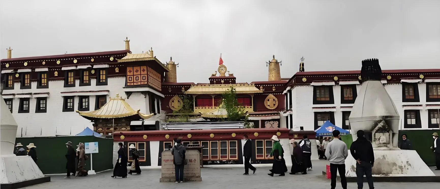
Day 2 — Jokhang Temple · Barkhor Circuit · Tibet Museum
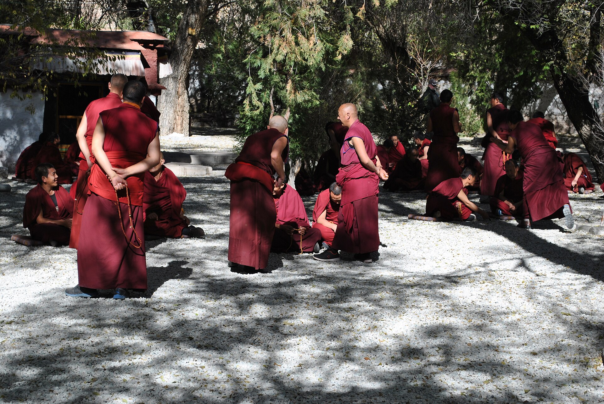
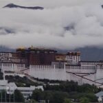
Day 3 — Potala Palace · Sera Monastery Debate · Local Family Dinner
Days 4–13 — The Kailash Journey
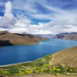
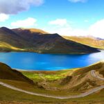
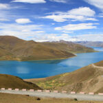
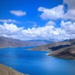
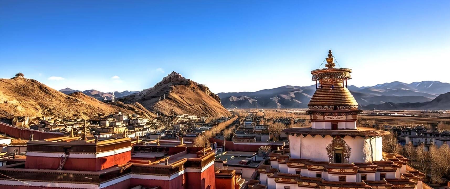
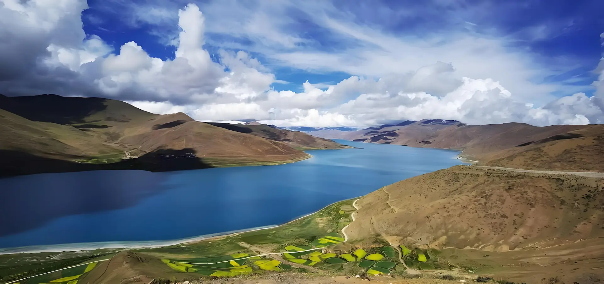
The road south from Lhasa climbs over Kamba La at 4,794 m and Yamdrok Lake opens below — 72 km of turquoise water encircling the mountains. From Yamdrok the road crosses Karo La at 5,010 m, where a glacier comes within metres of the road surface. Gyantse and its Kumbum Stupa fill the early afternoon before the Nianchu valley runs west to Shigatse. Overnight Shigatse.
West from Shigatse the Friendship Highway follows the Yarlung Tsangpo upstream toward its Himalayan sources. Beyond Lhatse the plateau opens — wide, dry, treeless, the sky enormous. Shelkar / New Tingri (4,300 m) is the gateway for Everest; from here a 100-km side road climbs south toward Rongbuk.
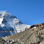
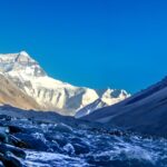
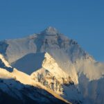
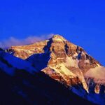
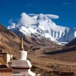
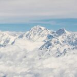
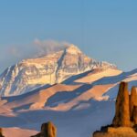
Gyawu La (5,198 m) is one of the great viewpoints on earth. From this pass, five 8,000-metre peaks stand in a single panoramic frame: Everest (8,848 m), Lhotse (8,516 m), Makalu (8,485 m), Cho Oyu (8,201 m), and Shishapangma (8,027 m). No other road offers this. Rongbuk Monastery (5,100 m), the world’s highest functioning monastery, sits directly below the North Face with an unobstructed sight line to the summit. Overnight at Rongbuk.
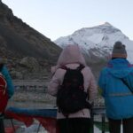
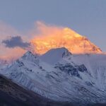
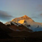
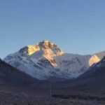
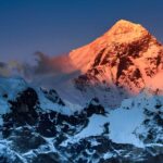
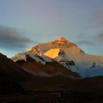
Rise before dawn for the North Face sunrise — the light on Everest before the sun clears the eastern ridge is among the most photographed phenomena in Tibet, and photographs do not capture it. Everest Base Camp (5,200 m) is 8 km on foot or by shuttle from Rongbuk.
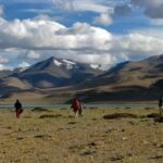
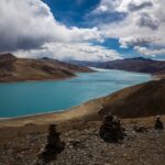
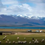
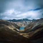
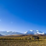
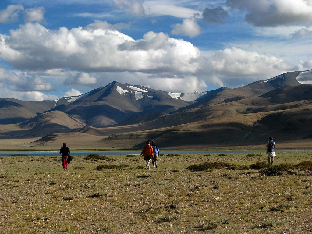
After breakfast, leave the Rongbuk valley and drive north to the Friendship Highway, then southwest. Peiku Tso (4,590 m) appears on a wide plateau below the road — a cold blue lake with Shishapangma (8,027 m) rising from its northern shore, the only 8,000-metre peak located entirely within Tibet. The Gyirong valley turnoff is passed without taking it; the road continues west along the Brahmaputra corridor. Saga (4,640 m), the main staging town for western Tibet, is the overnight stop.
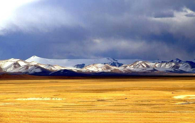
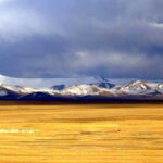
West from Saga, the Friendship Highway follows the upper Brahmaputra for some distance before the road leaves the river and crosses drier, more barren terrain. The settlements thin; the sky broadens. This is the threshold of the Far West — Ngari Prefecture, the most remote administrative region of Tibet, home to the oldest civilisations in the Tibetan world and, at its centre, the most sacred mountain on earth.
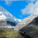
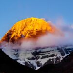
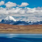
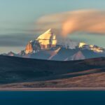
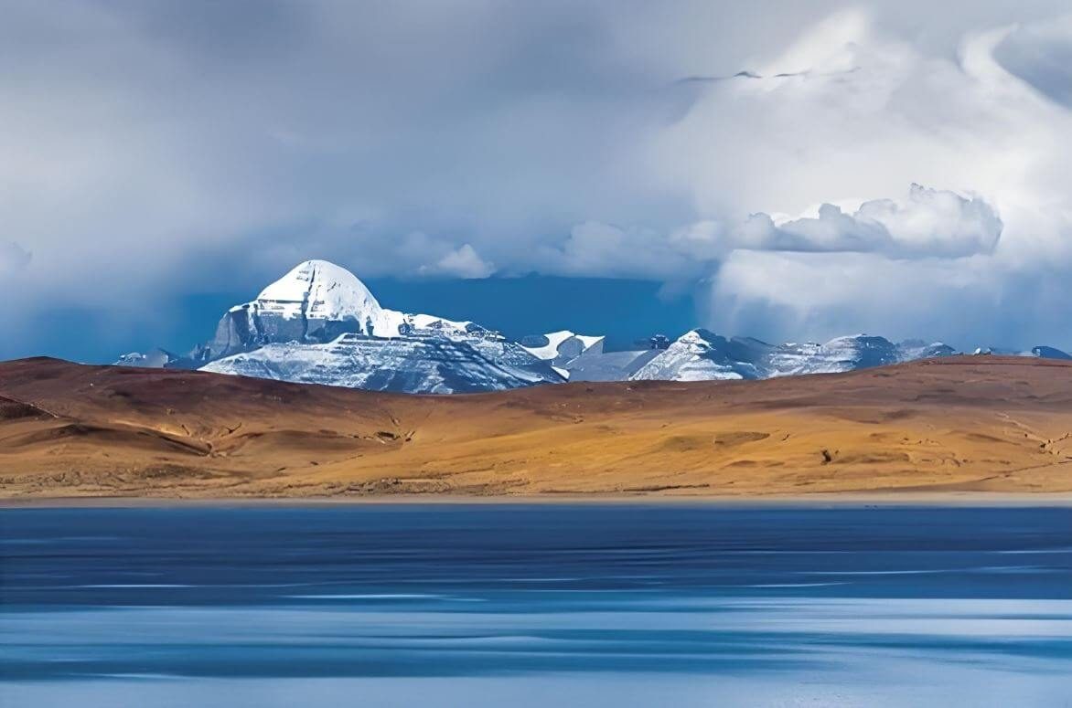
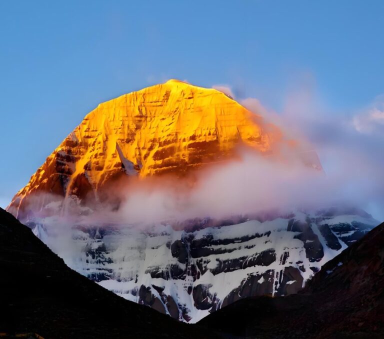
Darchen (4,560 m) is the base village for Kailash — a compact settlement of guesthouses, shops and pilgrims at the foot of the mountain’s southern approach. The first view of Kailash from Darchen is of its south face: a dome of rock and permanent snow rising above the plateau, symmetrical, unmistakable, the summit at 6,638 m. The mountain’s perfection of form — described in Sanskrit sources as a crystal linga — is apparent immediately. Overnight in Darchen.
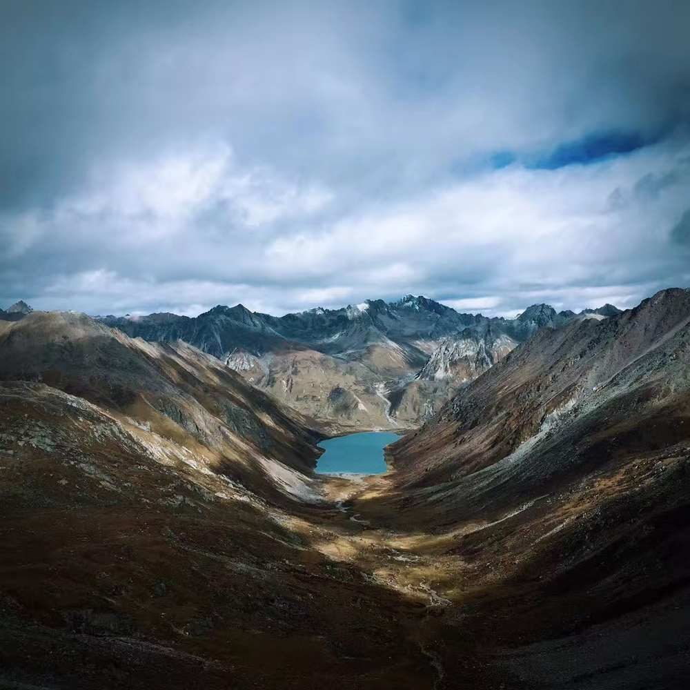
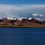
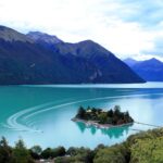
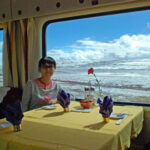
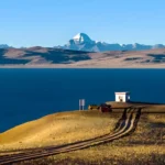
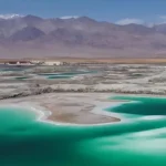
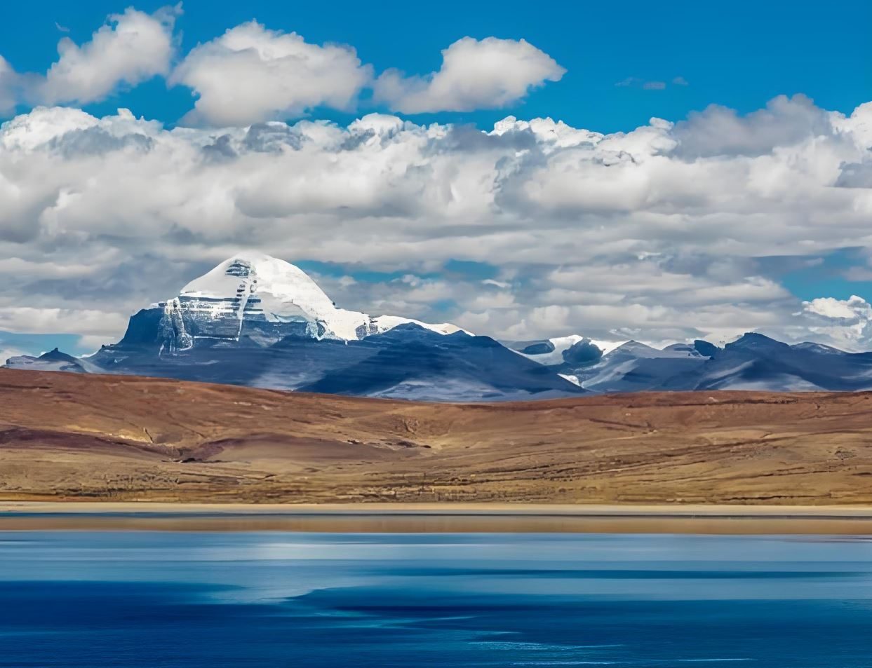
Lake Manasarovar (Mapam Yumtso, 4,588 m) lies 30 km southeast of Darchen — a circular lake of extraordinary blue, 88 km in circumference, fed by glacial melt from Kailash and Gurla Mandhata (7,694 m) to the south. Sacred in Hinduism as born directly from the mind of Brahma — its name derives from manas (mind) and sarovara (lake) — and in Buddhism as the lake where Queen Maya bathed before conceiving Siddhartha Gautama, Manasarovar is among the most spiritually charged bodies of water on earth.
The drive around part of its shore gives an hour or more at water level. The colour of the lake changes with the light and cloud: turquoise near the shore, deep blue further out, almost black at the centre horizon under overcast. On a clear day Gurla Mandhata’s snow walls rise from the southern shore. Chiu Monastery, a cave monastery carved into a rocky promontory on the northwest shore, overlooks the lake at close range. Return to Darchen for the evening.
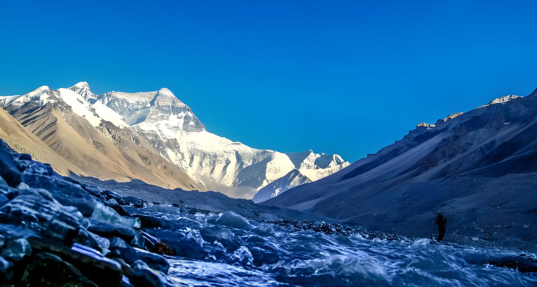
Extension: Kailash Kora Trekking — +2 Days
52 km · Dolma La 5,630 m · Three-day circumambulation · Optional
The circumambulation of Mount Kailash (kora) is 52 km over three days, crossing Dolma La pass at 5,630 m — the highest point of any trek in Tibet. The kora is done in a fixed clockwise direction (Buddhist and Hindu); Bon pilgrims walk anti-clockwise. It requires good physical fitness, complete high-altitude acclimatisation, and appropriate cold-weather and waterproof gear.
Adding the kora inserts 2 extra days between Day 8 and Day 9, making the base tour 15 days.
Extension: Guge Kingdom Ruins — +3 Days West
Tsaparang ruins · Tholing Monastery · Zanda Earth Forest · Ngari Prefecture
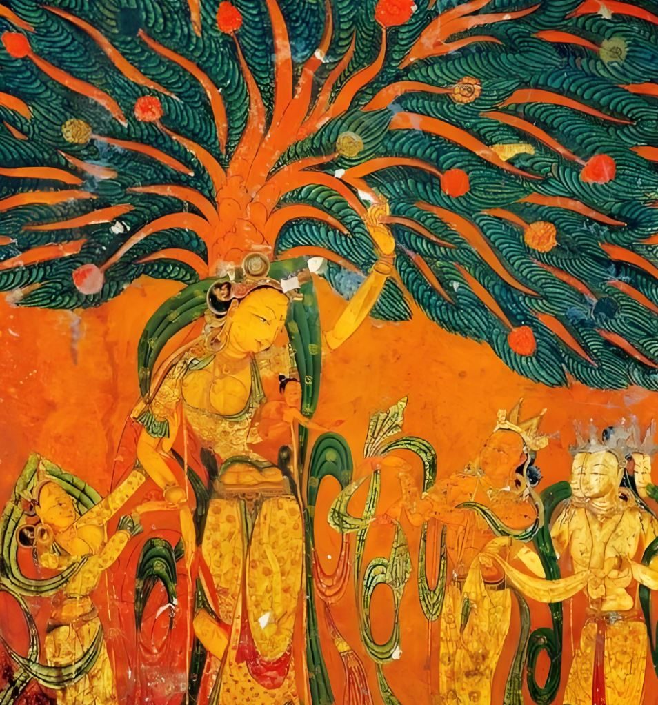
Tholing Monastery — 10th-century frescoes in extraordinary condition
Instead of turning east immediately after Manasarovar, the route continues west into Ngari Prefecture toward the ruins of the Guge Kingdom — a 10th-century dynasty whose painted temples and cliff-carved capital survived intact for a millennium in one of the most remote valleys in Asia. This extension replaces Day 9 and adds 3 extra days, making the base tour 16 days.
Guge Day 1 — Darchen → Shiquanhe · Ngari
The road west from Darchen runs deep into Ngari Prefecture, the highest and most remote of Tibet’s administrative regions. Shiquanhe, Ngari’s capital (4,270 m), is the last significant town before the road reaches Ladakh and the Karakoram. The drive takes four to five hours through open plateau — ochre, brown, treeless, the Indus river valley visible to the north. Overnight in Shiquanhe.
Guge Day 2 — Shiquanhe → Zanda · Tsaparang Ruins · Tholing Monastery · Earth Forest
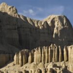
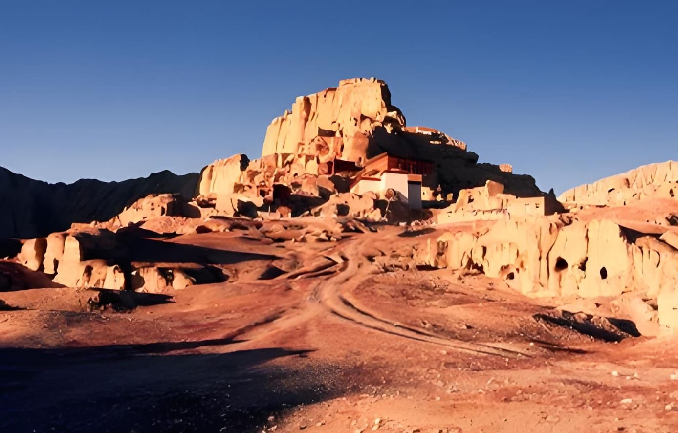
South from Shiquanhe, the road descends into Zanda County through one of the strangest landscapes in Asia — the Zanda Earth Forest, a vast field of wind-eroded clay columns and ridges that have been carved by millennia of erosion into shapes resembling castles, pinnacles and fortresses. The scale is difficult to comprehend from photographs: these formations extend for hundreds of square kilometres at altitudes between 3,500 m and 4,000 m, their colour shifting from beige to deep terracotta as the light changes through the day.
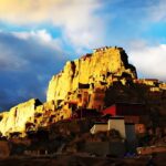
Tsaparang is the ruined capital of the Guge Kingdom — a 10th-century dynasty that arose after the collapse of the Yarlung Empire and ruled western Tibet for six centuries until its mysterious destruction around 1630 CE. The ruins climb a dramatic eroded hill: hundreds of chambers, temples, and royal apartments carved into the living rock, many still bearing their original wall paintings in extraordinary condition. The frescoes of Tsaparang are considered among the finest surviving examples of early Tibetan Buddhist art — their colour intact, their iconography complex, their stillness absolute.
Tholing Monastery in the valley below is the oldest still-functioning monastery from the Guge period, founded in 996 CE. Its assembly hall murals are among the most complete in western Tibet. Overnight in Zanda town.
Guge Day 3 — Zanda → return east → Saga
The return east from Zanda retraces the Earth Forest road north to Shiquanhe, then east along the Friendship Highway corridor toward Saga. It is a long driving day — six to seven hours — through terrain that does not repeat what has been seen before: the high desert west of Shigatse, the plateau between the Himalayan and Gangdise ranges, the Brahmaputra river visible intermittently from the road. Rejoin the main itinerary at Saga.
From Darchen the road reverses east toward Saga along the same Brahmaputra corridor. The landscape seen from the other direction in different light. Saga is the overnight stop, as on the outbound journey — a familiar guesthouse after the altitude and distance of the Kailash circuit.
South from Saga, a road drops through the foothills toward the Nepal border zone. The terrain changes character as altitude falls — drier hills giving way to greener valleys, the air noticeably thicker. Gyirong town at roughly 2,700 m in a deep subtropical river valley is the end of this leg for those continuing back to Lhasa. Overnight in Gyirong.
Nepal exit option — Gyirong Port
From Gyirong town, Gyirong Port is 30 minutes south. Border formalities take two to three hours. A Nepal-side vehicle and guide take over from there; Kathmandu is reached by evening. If you choose this exit, Days 11–13 are not needed. We can arrange Nepal-side logistics on request.
From Gyirong, the road climbs north back to the Friendship Highway and then runs east toward Lhatse. Before Lhatse, a side road branches south to Sakya County — the seat of the Sakya school of Tibetan Buddhism and one of the most historically significant monasteries in Tibet.
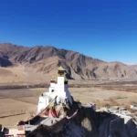
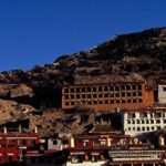
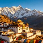
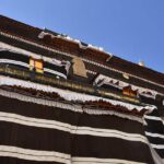
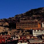
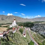
Sakya Monastery, founded in 1073 CE by Khon Konchog Gyalpo, is recognisable at a distance by its distinctive walls — grey with vertical stripes of white and red, the colours of the Sakya school’s three protective deities. During the 13th and 14th centuries, the Sakya lamas ruled all of Tibet under Mongol patronage; the Yuan Dynasty emperors regarded the Sakya Trizin as the spiritual authority of the entire empire. The south monastery, still functioning, houses a library of 84,000 volumes — manuscripts in Sanskrit, Tibetan and Mongolian, many unique, shelved along a wall 60 m long and 10 m high. Overnight at the monastery guesthouse (approximately 4,280 m).
A long but straightforward driving day that completes the western circuit. From Sakya, the road returns north to the Friendship Highway, then east through Lhatse to Shigatse — familiar ground from Day 4. At Shigatse, the route turns east along the Yarlung Tsangpo valley, following the river downstream toward Lhasa on a completely different road from the outbound mountain corridor over Kamba La.
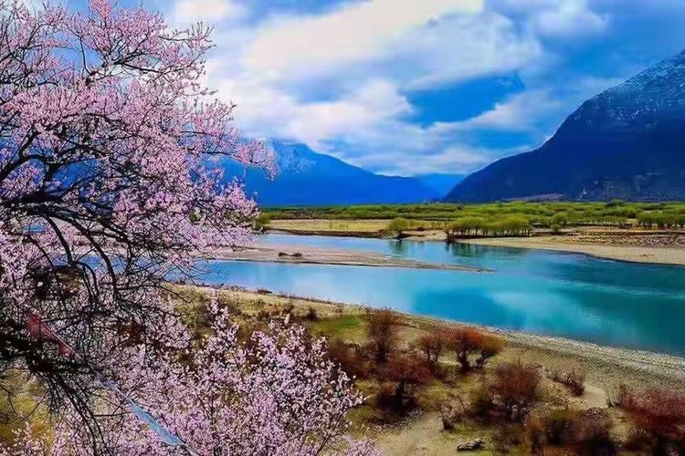
The Yarlung Tsangpo (Brahmaputra) at this point is broad, braided, its surface catching the afternoon light. The valley is agricultural and green — barley fields, willow-lined channels, whitewashed farmhouses. Two parallel roads run alongside the river for much of the way: one at water level, one elevated above the floodplain. Both reach Chushul, where the river valley opens into the Lhasa basin. Lhasa by evening. The circuit is complete.
A final morning in Lhasa. Transfer to Gonggar Airport (70 km, approximately one hour) or Lhasa railway station. Tour services end at the point of departure.
Plan the Kailash journey
Private guide and vehicle. All western Tibet permits included. Trekking and Guge extensions available.
Route at a glance
Lhasa
3,650 m · Cultural foundation
Yamdrok · Karo La · Gyantse · Shigatse
Up to 5,010 m · South road
Gyawu La · Five peaks · Rongbuk EBC
5,198 m → 5,100 m overnight
EBC sunrise · Peiku Tso · Saga
5,200 m → 4,640 m
Saga → Darchen
4,560 m · First view of Kailash
Lake Manasarovar · Chiu Monastery
4,588 m · Sacred lake
Optional: Kailash kora
52 km · Dolma La 5,630 m
Optional: Guge Kingdom — Shiquanhe → Tsaparang → Tholing
Zanda Earth Forest · Ngari Prefecture
Darchen → Saga
Return east
Saga → Gyirong
2,700 m · Nepal exit option
Gyirong → Sakya Monastery
~4,280 m · Overnight
Sakya → Yarlung valley → Lhasa
Via Shigatse · River road
Departure — Gonggar Airport
Permits
TTB Permit — mandatory. 15 working days.
Alien’s Travel Permit — all stops west of Lhasa.
Military Area Permit — required for Ngari Prefecture (Darchen, Guge).
Kailash Restricted Area Permit — required. Included.
EBC Restricted Area Permit — for Day 5. Included.
This tour requires more permits than any other route in Tibet. Allow 20+ working days for processing.
All permits handled and included.
Photos from this route
Want another 13-day choice?
See all 4 tours of 13 days →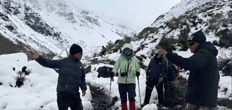
Questions travellers ask
Why is Kailash sacred to four different religions?
Kailash (6,638 m) is identified in Hindu cosmology as Mount Meru — the physical axis of the universe and the home of Shiva. In Tibetan Buddhism it is the seat of the deity Chakrasamvara and the site where the 84 Mahasiddhas attained enlightenment. The pre-Buddhist Bon faith regards it as the soul-mountain of their entire universe. In Jainism it is where the first Tirthankara, Rishabhadeva, achieved liberation. The mountain has never been climbed — a restriction respected out of religious sensitivity — and its circumambulation (kora) is considered one of the most transformative acts of pilgrimage in the world.
What is the Kailash kora, and can ordinary travellers do it?
The kora is a 52-km circumambulation of Mount Kailash, taking three days and crossing Dolma La pass at 5,630 m. It is a genuine high-altitude trek requiring good physical fitness, proper acclimatisation, and cold-weather gear. The highest point, Dolma La, is 430 m above Everest Base Camp on the Tibet side. Adding the kora to this itinerary requires 2 extra days and fits naturally between Day 8 and Day 9. Full details are in our Tibet Trekking section — see the link in the navigation.
Who was the Guge Kingdom, and why did it collapse?
The Guge Kingdom was founded in the 10th century by descendants of the last Yarlung emperor, who fled west after the empire's collapse. At its height it controlled all of western Tibet and supported a major revival of Tibetan Buddhism after the Dark Age of Langdarma. Its capital at Tsaparang housed thousands of people in cliff-carved dwellings and temples. The kingdom was destroyed around 1630 CE, probably by a Ladakhi invasion assisted by Jesuit missionaries who had established a mission there. The ruins were largely unknown to the outside world until the 1980s. The cause of the final collapse — whether conquest, internal revolt, or both — remains disputed.
What permits are required for this tour?
More permits are needed for western Tibet than for any other route in this region. The TTB (Tibet Tourism Bureau) Permit is the base requirement, issued 15 working days in advance. Beyond Lhatse, an Alien's Travel Permit is required. For Ngari Prefecture (required for Guge and for reaching Darchen), a Military Area Permit (also called Border Defence Permit) is additionally required. The Kailash Restricted Area Permit covers the immediate Kailash area. If the EBC stop on Day 5 is included, the EBC Restricted Area Permit is also needed. We handle all of these — permit logistics are the most complex part of planning this tour, and we have arranged them many times.
What is Lake Manasarovar like, and can we swim?
Manasarovar (4,588 m) is one of the highest freshwater lakes in the world — 88 km in circumference, deep blue, fed by glacial melt. The water is extremely cold (close to freezing at the surface for most of the year), but bathing in Manasarovar is considered the most sacred act a Hindu pilgrim can perform — washing away a lifetime of sin. Many Hindu pilgrims do bathe, briefly. Swimming in the recreational sense is not possible at this temperature and altitude. Tibetan Buddhist pilgrims typically collect the water in bottles to carry home.
Can we exit to Nepal at Gyirong instead of returning to Lhasa?
Yes — this is the Nepal exit option shown on Day 10. From Gyirong, Gyirong Port is 30 minutes' drive. Border formalities take two to three hours; your Tibetan guide accompanies you to the Chinese exit point and a Nepal-side guide and vehicle take over from there. If you choose this exit, Days 11–13 are not needed. We can arrange the Nepal-side logistics if required.
What is Sakya Monastery — is it worth staying overnight?
Sakya is genuinely one of the great monasteries of Tibet — not a ruin, not a reconstruction, but a living institution with 951 years of continuous history. The library alone (84,000 volumes, many unique manuscripts) is worth a half-day. The monastery guesthouse is basic but functional, and an early morning at the temple before the road to Lhasa is one of the quieter and more memorable mornings on this itinerary. Altitude is approximately 4,280 m — lower than Darchen and most of the western route.