


9-Day Southeast Tibet Loop — Lhamo La-tso, the Grand Canyon & Basum Tso
- Duration
- 9 days
- Pace
- Moderate
- Group size
- Private, on your dates
- Best season
- April to November
The trip at a glance
A private loop that runs southeast of Lhasa through the Yarlung Valley — where Tibetan civilisation began — then east into the forested low valleys of Nyingchi, out to the rim of the Yarlung Tsangpo Grand Canyon, and back across the 5,013 m Mila Pass. The route was first operated in 2012 for a private group from a Beijing insurance company who travelled in a convoy of six Toyota Land Cruisers, and it has remained one of our most asked-for private itineraries: the vision lake of Lhamo La-tso, the birthplace of the 13th Dalai Lama, the forests of Lulang, and the island monastery on Basum Tso, all in nine days.
Why this loop is different
Read the full overview
Almost every Tibet itinerary runs west — Yamdrok, Gyantse, Shigatse, Everest. This one runs the other way, into the southeast: the cradle valleys of the Yarlung Tsangpo, then the greenest country in Tibet, where the altitude drops to 2,900 m and the landscape turns from bare mountains to deep forest. It is the natural complement to our western loop, and for guests who have already been to Tibet it shows a face of the plateau most visitors never see.
The design behind the days
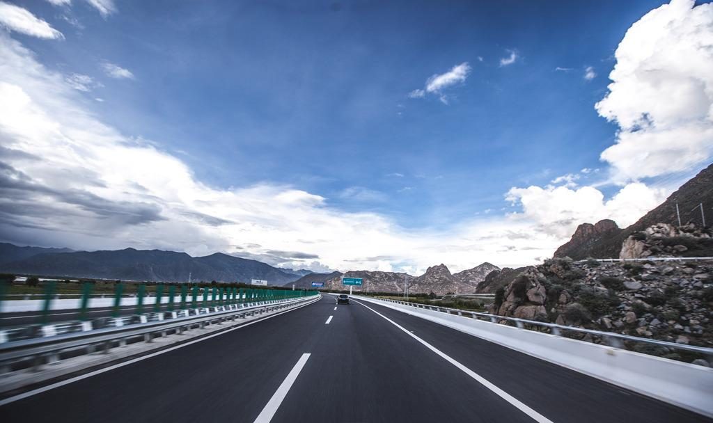
The altitude profile is deliberately gentle: every night is spent at or below 3,650 m, and the single highest point of the journey — the vision lake of Lhamo La-tso at 5,300 m — is a day excursion from Gyacha, not an overnight. Driving days average around 300 km with frequent stops. The two long drives (Days 7 and 8) are broken by the Grand Canyon scenic area, the villages on the shore of Basum Tso, and the pass itself.
- Lhasa
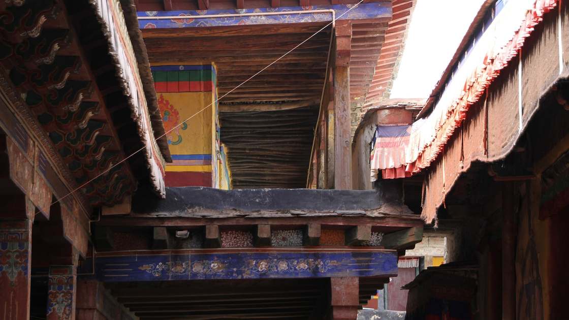 Samye
- Tsedang
- Gyacha
- Lhamo La-tso
- Nang
- Mainling
- Bayi
- Lulang
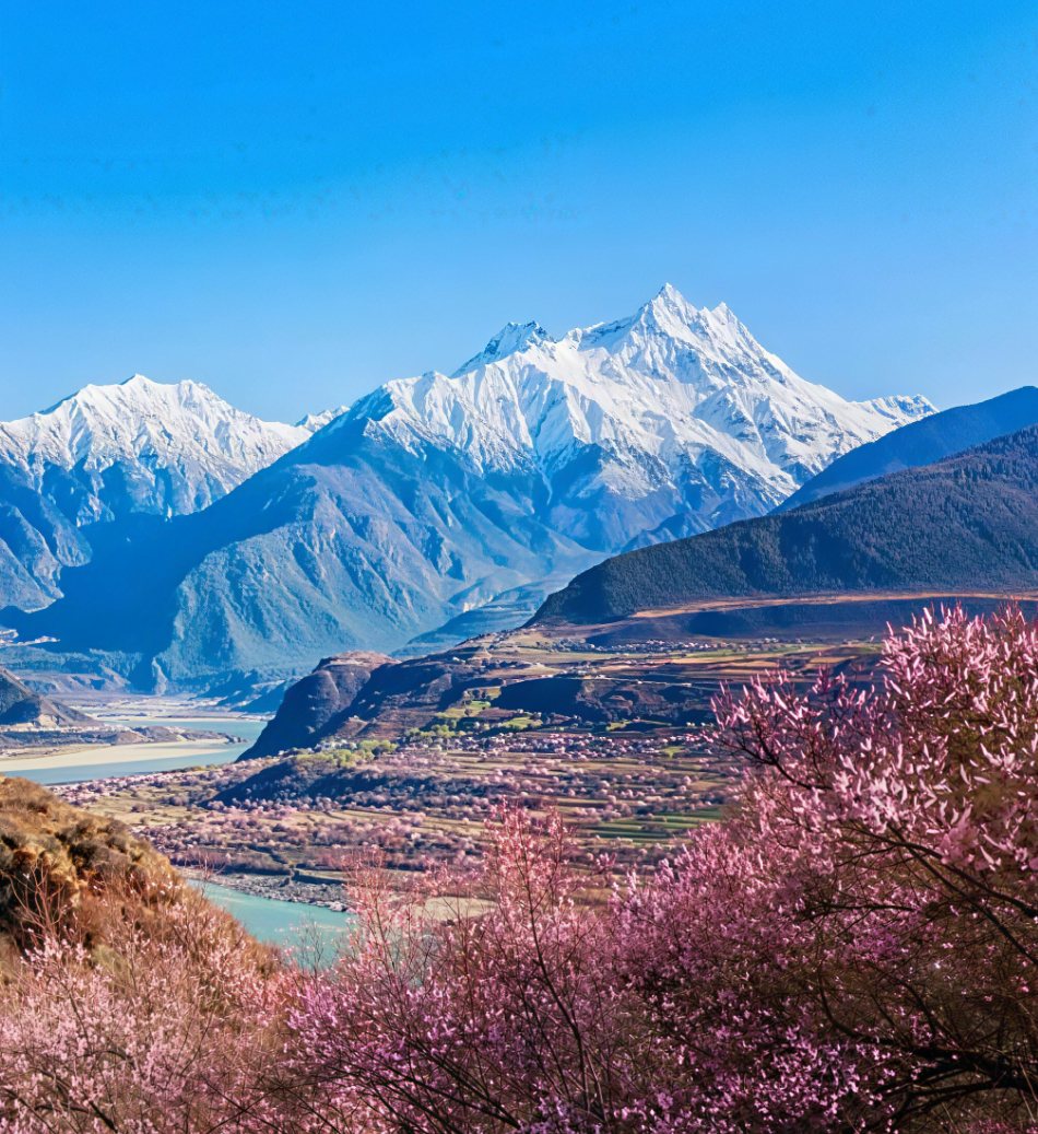 Yarlung Tsangpo Grand Canyon
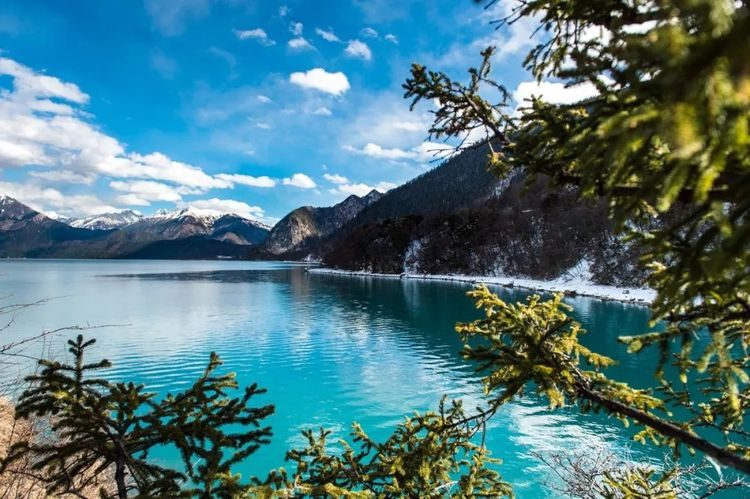 Basum Tso
- Mila Pass
- Lhasa
Day 1 — Arrive in Lhasa (3,650 m)
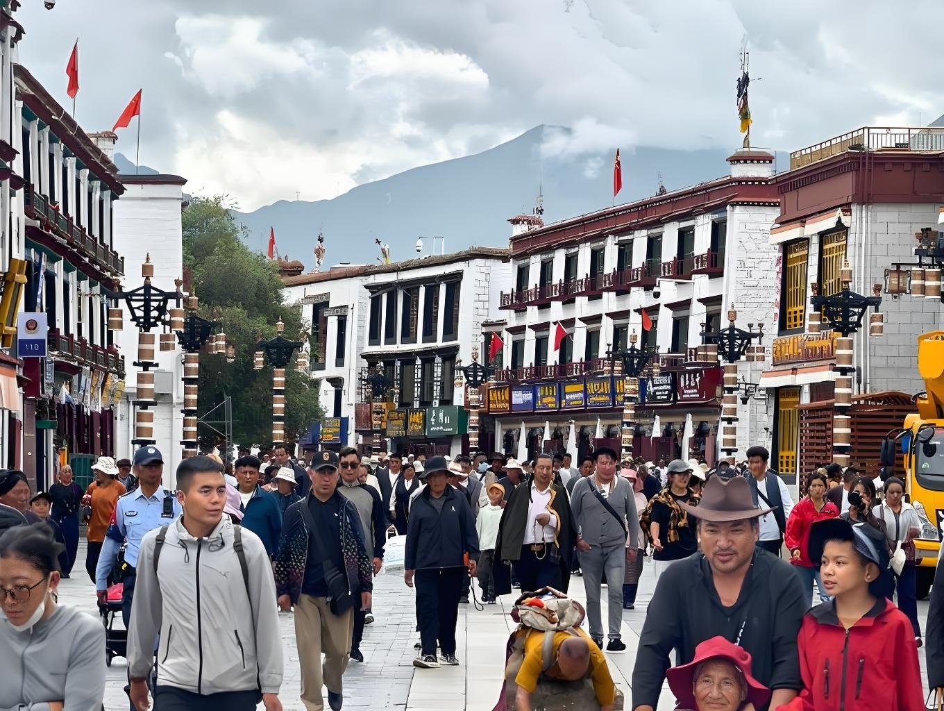
Arrive in Lhasa, meet your guide and driver, and transfer to your hotel in the old city. Arrival day asks nothing of you except rest: walk slowly, drink water, and let your body start its adjustment. The Jokhang side streets and the Barkhor are at your doorstep when you feel like a first short walk.
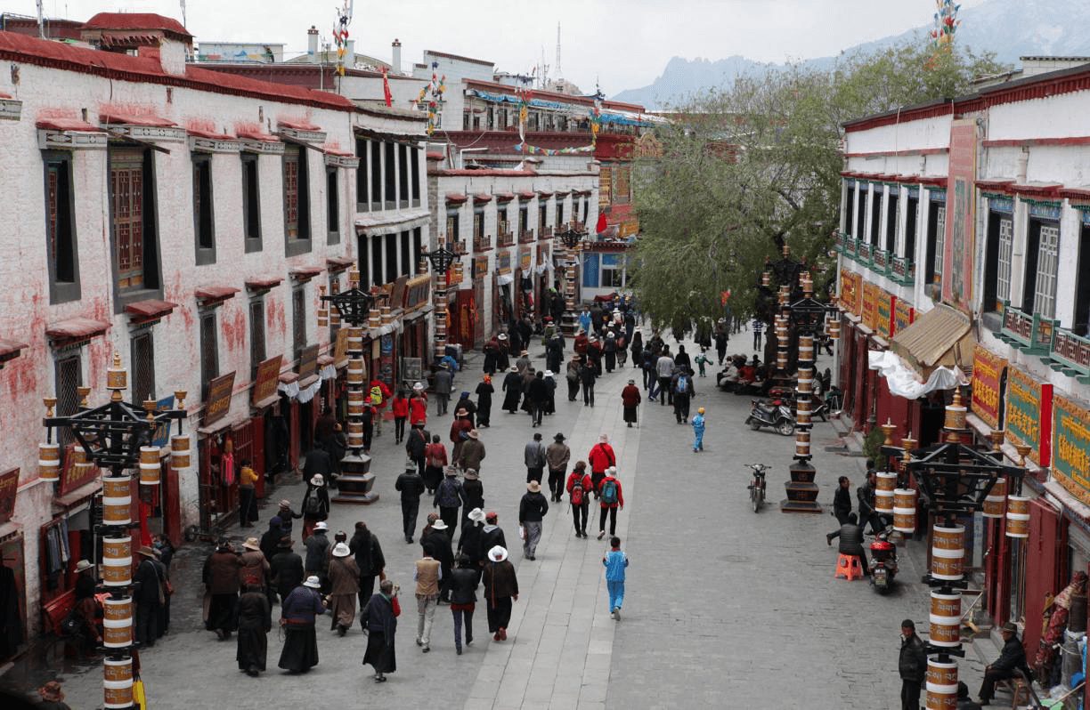
Day 2 — Lhasa: Potala Palace · Jokhang · Barkhor · Sera Debate
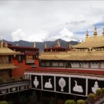
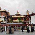
The Potala Palace in the morning light, the Jokhang Temple at the spiritual heart of the city, and the Barkhor pilgrim circuit around it. In the late afternoon, drive north to Sera Monastery for the monks’ debating courtyard — a living tradition of dialectical argument between pairs of monks, held among the trees. Evening free along the Barkhor.
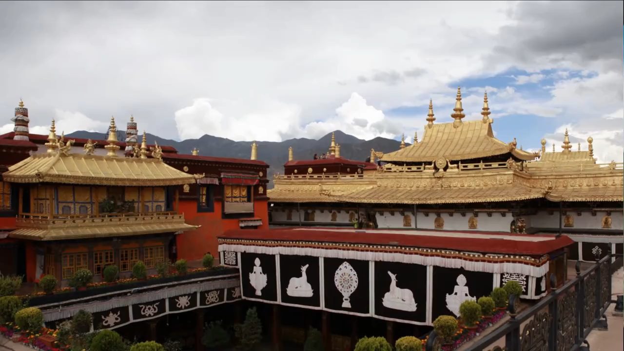
Day 3 — Lhasa → Samye Monastery → Tsedang (190 km)
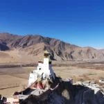
South across the Brahmaputra to Samye — Tibet’s first monastery, founded in the 8th century, its walled mandala of temples built where Buddhism and the native Bon met and settled. In the afternoon continue to Tsedang, the capital of the Yarlung region, and up the ridge above the valley to Yumbulagang, said to be the oldest building in Tibet and the palace of the first Tibetan king.
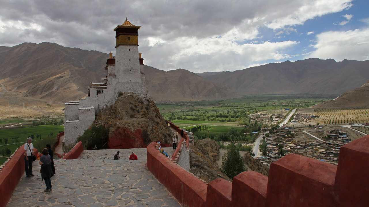
Day 4 — Tsedang → Dagu Canyon → Gyacha (200 km)
East along the Yarlung Tsangpo into Gyacha county. The road follows the river through the Dagu Canyon, where the valley narrows and the river runs fast between forested walls — a first taste of the greener Tibet to come. Gyacha is a small county town and the gateway to Lhamo La-tso.
Day 5 — Gyacha → Lhamo La-tso (5,300 m) → Nang County (205 km)
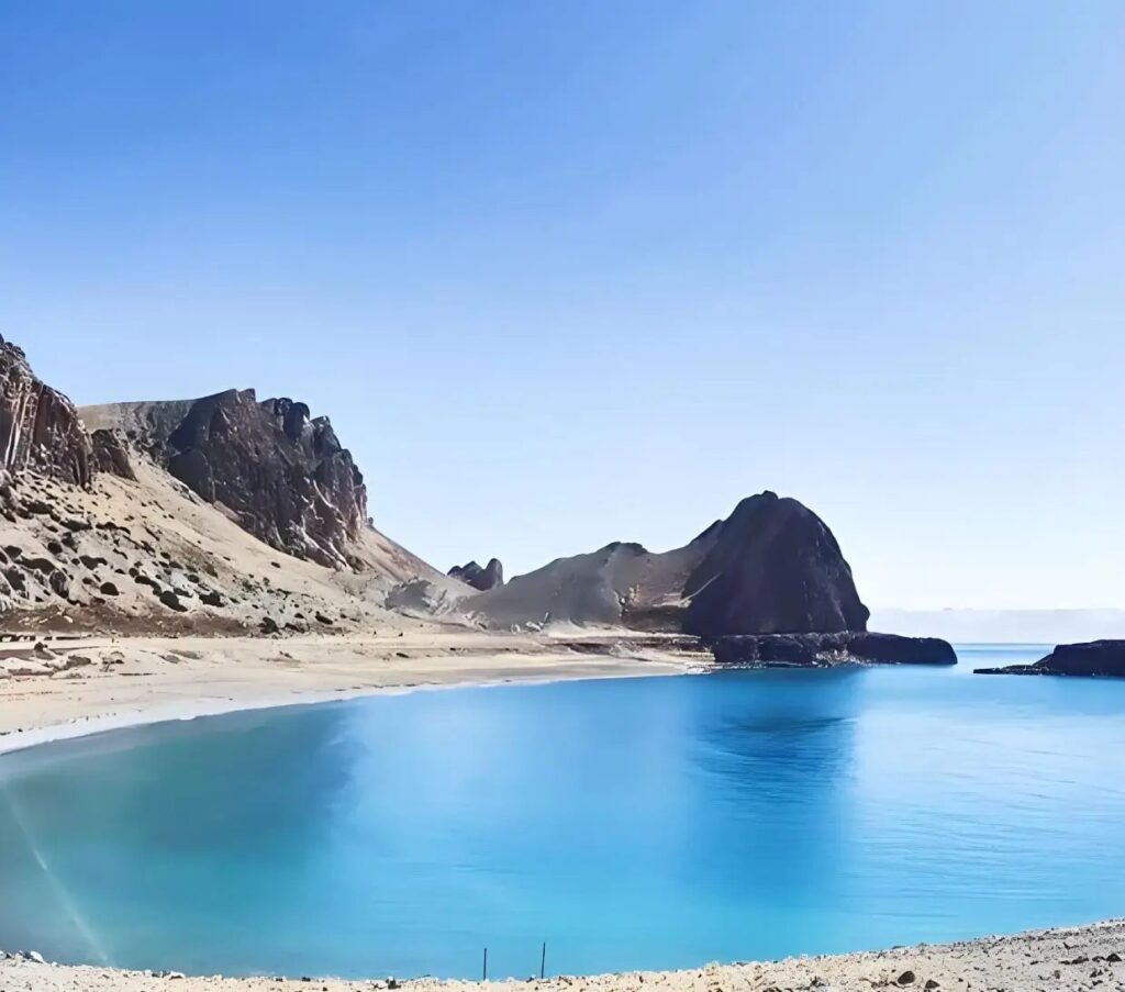
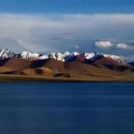
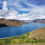
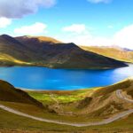
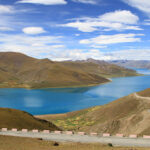
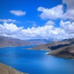
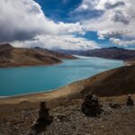
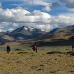
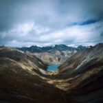
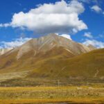
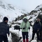
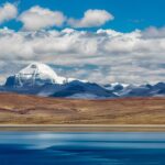
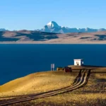
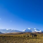
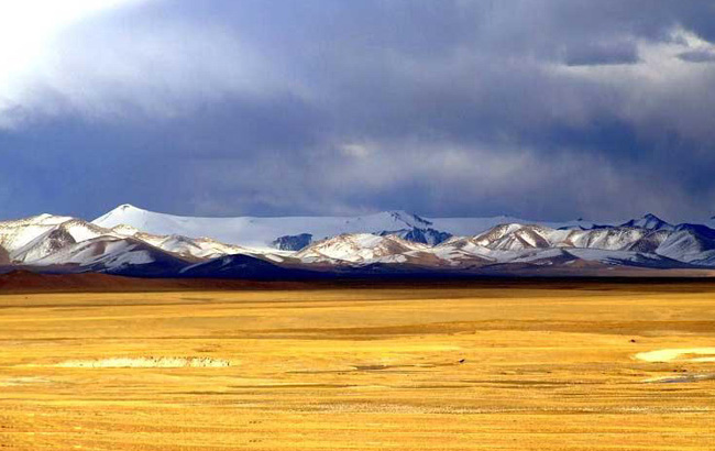
The pilgrimage day. A mountain road climbs from Gyacha to the ridge above Lhamo La-tso, the “vision lake” at 5,300 m where senior lamas have traditionally looked for visions of the future — the search for each new Dalai Lama began here. Weather decides the view; on a clear day the lake lies below like a mirror in a bowl of bare peaks. Descend in the afternoon and continue to Nang county, the birthplace of the 13th Dalai Lama, in one of Tibet’s most densely forested counties.
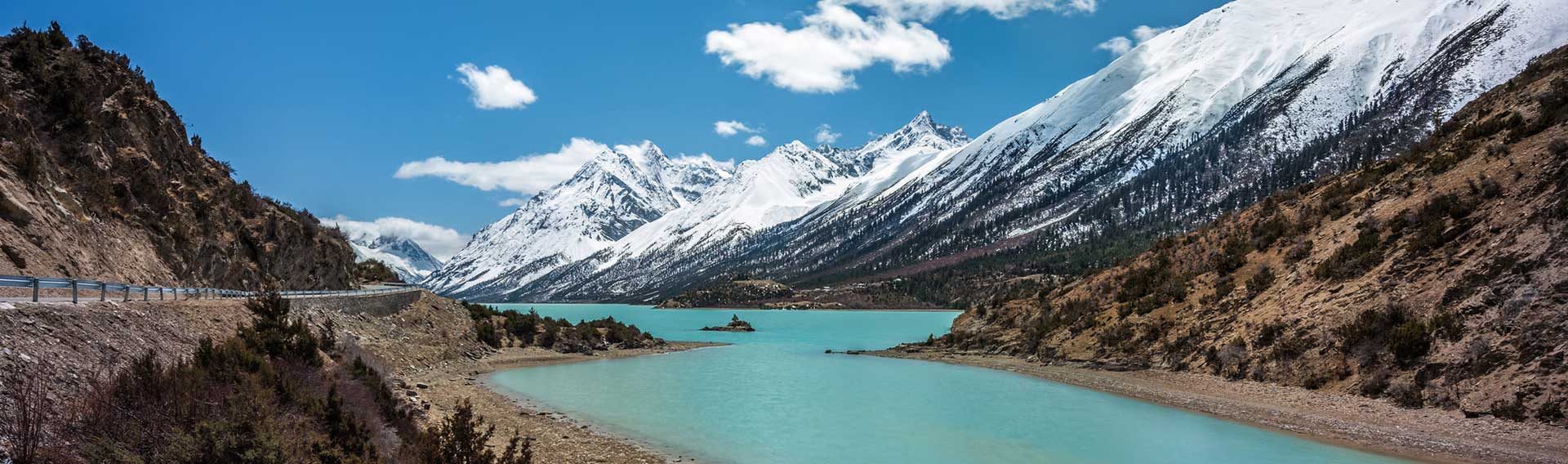
Day 6 — Nang → Mainling → Bayi → Lulang Forest Sea (330 km)
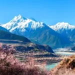
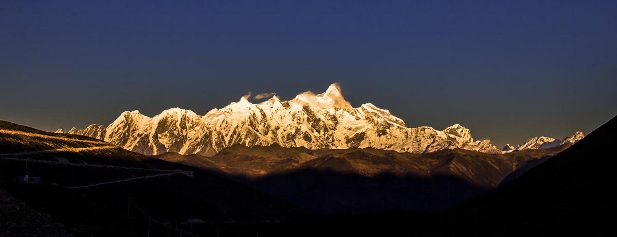
Follow the Yarlung Tsangpo east through Mainling county into Nyingchi — the lowest, greenest, most comfortable corner of Tibet. Reach Bayi, the regional centre, and continue up into the Lulang Valley: the “Forest Sea” of spruce and pine under meadow ridges, a stone Tibetan village, and on clear days a far view of Namcha Barwa. Return to Bayi for the night at 2,900 m — the easiest sleeping altitude of the whole journey.
Day 7 — Bayi → Yarlung Tsangpo Grand Canyon → Basum Tso
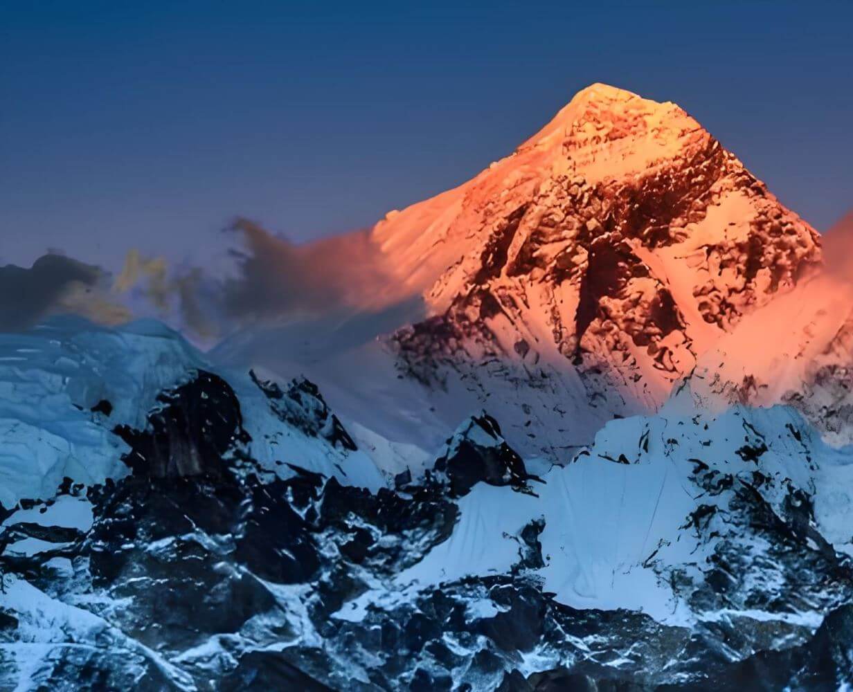
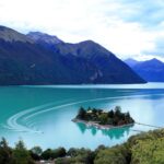
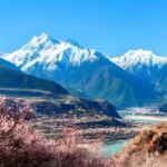
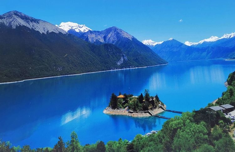
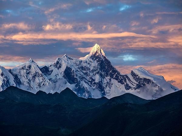
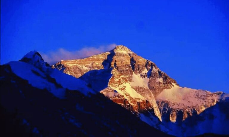
South to the Yarlung Tsangpo Grand Canyon — the deepest canyon on earth, where the river wraps around the ice peak of Namcha Barwa (7,782 m). Walk the viewpoints along the scenic area, then turn north to Basum Tso, the sacred green lake of the Nyingma tradition: an island monastery, Tsozong, reached by a plank bridge, and forested peaks rising straight from the water. Sleep inside the scenic area in a lake-side lodge at 3,380 m, with the evening to yourself on the shore.
Day 8 — Basum Tso → Jieba Village → Mila Pass (5,013 m) → Lhasa (360 km)
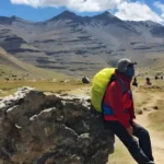
Morning on the lake among the old villages of Cuogao and Jieba, whose families still live from the lake and the forest. Then the road west: up through Gongbujiangda and over the Mila Pass at 5,013 m — the watershed between the Yarlung Tsangpo and Lhasa river systems, and the highest point reached by road on this journey — before descending to Lhasa for a farewell evening in the old city.
Day 9 — Departure from Lhasa
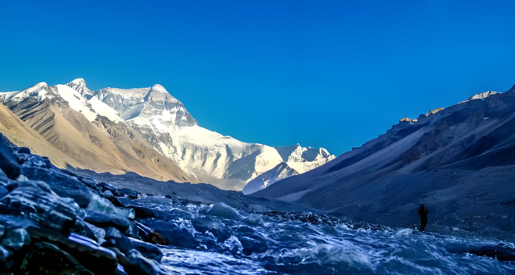
Transfer to Lhasa Gonggar Airport or the railway station for your onward journey. Guests continuing to Everest, Kailash or elsewhere in Tibet can extend from this day.
Vehicles and group
This is a fully private itinerary. The 2012 origin group travelled in six Toyota Land Cruisers with their own drivers; smaller groups travel in one or two 4WD vehicles with an English-speaking Tibetan guide. Every departure runs on your own dates.
Permits
Tibet Travel Permit — mandatory, arranged by us.
Alien’s Travel Permit — for the Shannan (Tsedang) region. Included and handled by us.
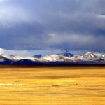
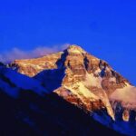
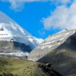
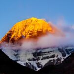
Photos from this route

Questions travellers ask
What does it mean that this route began as a 2012 group tour?
The route was first operated in 2012 for a private group from a Beijing insurance company who travelled in a convoy of six Toyota Land Cruisers. It has run since as a private itinerary on guests' own dates, following the same day-by-day design: the Yarlung Valley, the vision lake, Nang county, the Grand Canyon and Basum Tso.
Will I really see my future at Lhamo La-tso?
The lake at 5,300 m is where Tibetan tradition looks for visions — the search for each reincarnation of the Dalai Lama traditionally began with a vision at Lhamo La-tso. Pilgrims today still come to look into the water. Whether you see anything is between you and the lake; the road there, and the bowl of bare peaks around it, are worth the trip regardless. The visit is a day excursion from Gyacha, so you do not sleep at altitude.
How demanding is this loop compared with the classic western route?
In some ways easier, in some ways longer. Every night is at or below 3,650 m — lower than Shigatse on the western route — and the highest point, Lhamo La-tso at 5,300 m, is a day excursion. The trade-off is two long driving days (Days 7 and 8), which are broken by the Grand Canyon viewpoints, the villages on Basum Tso, and the Mila Pass crossing.
When is the best time to travel this route?
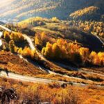
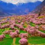
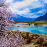
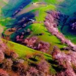
April to November. Spring brings peach blossom to the Nyingchi valleys; summer is green and warm at the low altitudes; autumn gives the clearest skies for Namcha Barwa and Lhamo La-tso. The route is not operated in winter, when the high passes around Gyacha and Mila are unreliable.